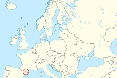
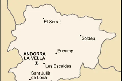
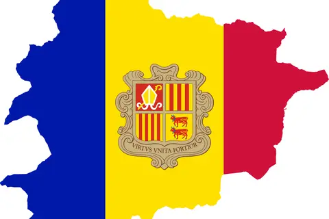
Andorra Map
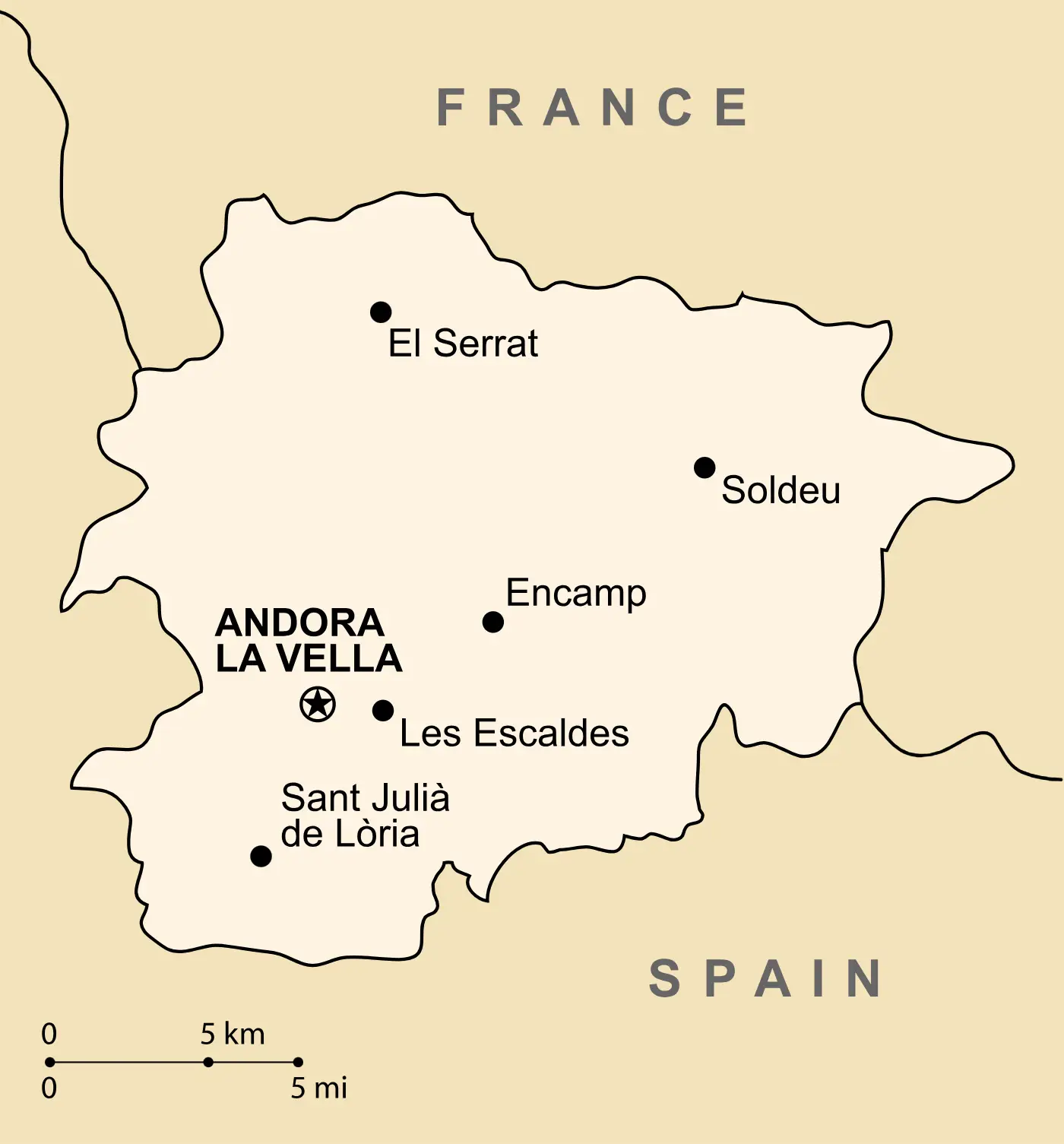
Click or tap the map to enlarge it.
Andorra Map: Explore the Beauty of Andorra with this Detailed Map
Key Takeaways
- Andorra is a small European country known for its stunning natural landscapes.
- The Andorra Map provides a detailed representation of the country’s topographic features, including mountains, rivers, and lakes.
- Exploring Andorra using this map allows you to discover its charming towns, historical sites, and outdoor recreational areas.
History of Andorra
Andorra is a small, landlocked principality located in the eastern Pyrenees mountains between France and Spain. It is one of the oldest countries in Europe, with a history dating back over a thousand years.
Originally, Andorra was established as a defense alliance in the 8th century. It was ruled jointly by the Count of Urgell and the Bishop of Urgell. This unique co-principality remains to this day, with the President of France and the Bishop of Urgell serving as its co-princes.
Andorra remained relatively isolated until the 20th century when modernization efforts began. Today, it is a popular tourist destination and a thriving country with a charming blend of cultural heritage and natural landscapes.
Unique Insights
- Andorra is known for its ski resorts, making it a sought-after destination for winter sports enthusiasts.
- The country has a strong tradition of Catalan culture and language, with Catalan being the official language of Andorra.
- Andorra is home to several stunning Romanesque churches that showcase the country’s rich architectural heritage.
- Despite being a small country, Andorra boasts a well-developed banking and finance sector.
Table of Relevant Facts
| Year | Event |
|---|---|
| 1278 | Establishment of the co-principality of Andorra |
| 1993 | Andorra becomes a member of the United Nations |
| 2014 | The Principality of Andorra adopts the Euro as its official currency |
Frequently Asked Questions (FAQ)
-
What are the main attractions in Andorra?
Andorra offers a range of attractions, including the scenic beauty of the Pyrenees, Romanesque architecture, ski resorts, and shopping opportunities.
-
How can I explore Andorra using the map?
The Andorra Map provides a detailed overview of the country’s road network, allowing you to plan your routes and visit various points of interest.
-
Is Andorra a suitable destination for outdoor activities?
Absolutely! Andorra is a paradise for outdoor enthusiasts. You can indulge in skiing, hiking, mountain biking, and much more.
-
What is the best time to visit Andorra?
The best time to visit Andorra is during the summer months (June to August) if you enjoy hiking and outdoor adventures. For skiing and snowboarding, the winter season (December to February) is ideal.
-
Can I experience the local culture in Andorra?
Absolutely! Andorra has a rich cultural heritage, and you can explore it by visiting museums, attending traditional events, and trying local cuisine.
-
Are there any historical sites in Andorra?
Yes, Andorra is home to numerous historical sites, including the Casa de la Vall, a medieval house that serves as the seat of government.
-
Is it easy to navigate around Andorra?
Yes, Andorra has a well-developed road network, and the Andorra Map will help you navigate through the country with ease.