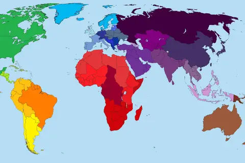
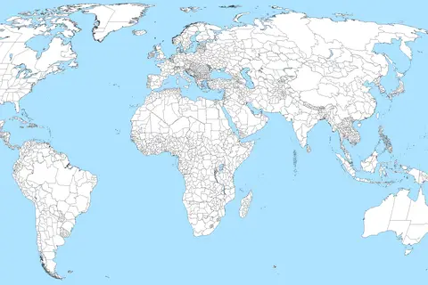
Blankmapworldwwi
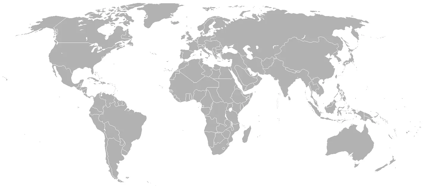
Click or tap the map to enlarge it.
Key Takeaways
- The Blankmapworldwwi provides an empty canvas to explore and understand the world during World War I.
- It showcases the geopolitical boundaries and changes that occurred during this significant historical period.
- Understanding the map helps in examining the causes and impacts of World War I on a global scale.
- The Blankmapworldwwi is a valuable resource for historians, educators, and enthusiasts alike.
History: Exploring the World During World War I
The Blankmapworldwwi provides us with a unique opportunity to delve into the world during the era of World War I.
World War I, also known as the Great War, lasted from 1914 to 1918 and involved many countries across the globe.
This map presents us with a blank canvas on which the geopolitical changes and boundaries of that time period are
waiting to be discovered.
Unique Insights
The Blankmapworldwwi offers several unique insights into the historical context of World War I:
- Shifting Boundaries: The world map during World War I saw dramatic changes in national borders due to the
realignment of power and territorial claims during the war. - Colonial Influences: The influence of colonial powers is evident, showcasing how these empires impacted the
world’s political landscape. - Alliances and Conflicts: Understanding the map helps us comprehend the intricate network of alliances and
conflicts that shaped World War I. - Impacts on Future Events: By studying this map, we gain insights into the long-lasting effects of World War I,
including the geopolitical changes that paved the way for future conflicts.
Table: Relevant Facts during World War I
| Date | Event |
|---|---|
| 1914 | Assassination of Archduke Franz Ferdinand, triggering the start of World War I. |
| 1915 | Sinking of the RMS Lusitania by a German submarine, leading to an escalation of tensions. |
| 1917 | The United States enters the war on the side of the Allies. |
| 1918 | The Armistice of Compiègne is signed, officially ending World War I. |