Brecon Beacons National Park Uk Location Map
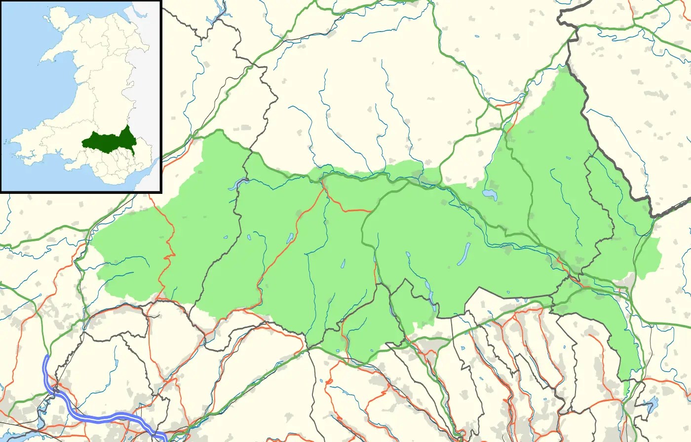
Click or tap the map to enlarge it.
Brecon Beacons National Park UK Location Map
Key Takeaways
- The Brecon Beacons National Park is located in Wales, United Kingdom.
- It is known for its stunning landscapes, including mountains, valleys, and waterfalls.
- The map provides an overview of the park’s location and surrounding areas.
- Visitors can use the map to plan their trips and explore the park’s natural beauty.
- The Brecon Beacons National Park offers various outdoor activities, such as hiking, cycling, and wildlife
spotting. - The map showcases the park’s proximity to major cities like Cardiff and Swansea.
- By using the map, visitors can discover nearby attractions, accommodations, and amenities.
History
The Brecon Beacons National Park, established in 1957, is one of the three national parks in Wales. It covers an
area of about 1,340 square kilometers (519 square miles) and is located in the south-central part of the country.
The park encompasses the Brecon Beacons mountain range, which is known for its dramatic landscapes and
biodiversity.
The area has a rich history dating back thousands of years. It has been inhabited by humans since prehistoric
times, with evidence of Neolithic and Bronze Age settlements found within the park. The Romans also had a
significant presence in this region, and remnants of their forts and roads can still be seen today.
During the Industrial Revolution, the Brecon Beacons played a vital role in the coal and iron industries. The
remnants of old mines, quarries, and tramroads are scattered throughout the park, providing a glimpse into its
industrial past.
In recognition of its natural and cultural significance, the Brecon Beacons was designated as a national park to
protect and preserve its unique landscapes and heritage. Today, it attracts thousands of visitors each year who
come to experience its natural beauty and engage in various outdoor activities.
Unique Insights
Exploring the Brecon Beacons National Park offers a range of unique insights:
- The park is home to Pen y Fan, the highest peak in southern Britain, offering breathtaking views from the
summit. - The waterfalls in the park, such as Sgwd Yr Eira and Henrhyd Falls, create a picturesque setting for nature
enthusiasts. - The park’s dark skies and lack of light pollution make it an excellent location for stargazing.
- The wildlife in the park is diverse, with species like the red kite and peregrine falcon inhabiting the region.
- Visitors can explore ancient hill forts, such as Pen y Crug and Garn Goch, which provide insight into the
region’s Iron Age past.
Table of Relevant Facts
| Year | Event |
|---|---|
| 1957 | Brecon Beacons National Park established |
| Prehistoric Times | Evidence of Neolithic and Bronze Age settlements |
| Roman Era | Roman forts and roads were built |
| Industrial Revolution | Significant role in coal and iron industries |
FAQ
1. Where is the Brecon Beacons National Park located?
The Brecon Beacons National Park is located in South Wales, United Kingdom.
2. What is the highest peak in the Brecon Beacons?
Pen y Fan is the highest peak in the Brecon Beacons, standing at 886 meters (2,907 feet) above sea level.
3. What activities can I do in the national park?
The park offers activities such as hiking, mountain biking, horse riding, wildlife watching, and exploring
historic sites.
4. Are there accommodations within the park?
Yes, there are various accommodations available in and around the park, including hotels, B&Bs, cottages, and
campsites.
5. How do I reach the national park?
The Brecon Beacons National Park is accessible by car, bus, and train. The nearest major cities are Cardiff and
Swansea.
6. Are there guided tours available in the park?
Yes, there are guided tours offered by local tour operators that provide insights into the park’s history,
wildlife, and natural attractions.
7. Are dogs allowed in the national park?
Yes, dogs are allowed in the national park, but they must be kept on a leash and under control at all times.