California Counties Outline Map
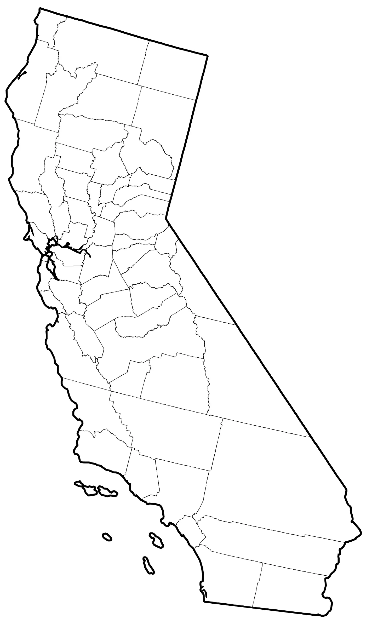
Click or tap the map to enlarge it.
Key Takeaways
- The California Counties Outline Map provides a visual representation of the 58 counties in California.
- This map is an excellent resource for anyone looking to study or explore the geographical divisions within the state.
- With a clear outline of each county, this map allows users to understand the boundaries and locations of different regions in California.
- Cartographers and enthusiasts can utilize this map to create customized visuals, conduct geographic analysis, or study California’s administrative divisions.
- Learning about the counties in California can help individuals gain a deeper understanding of the state’s diverse population, landscapes, and cultural heritage.
History of the California Counties Outline Map
The California Counties Outline Map has a rich history dating back to when California first became a state in 1850. During its early years, the state underwent significant growth, resulting in the formation of several counties.
Initially, California only had 27 counties, but as the population increased and new settlements emerged, more counties were established. The map evolved over time to reflect these administrative subdivisions accurately.
Throughout its history, the California Counties Outline Map has been a fundamental tool for demographic analysis, election planning, and the development of infrastructure and public services. It continues to serve as an essential resource for researchers, educators, and policymakers.
Unique Insights
Examining the California Counties Outline Map provides unique insights into the state’s geographic diversity and population distribution. Here are some notable observations:
1. Varied Landscapes
California’s counties encompass a wide range of landscapes, from the towering peaks of the Sierra Nevada Mountains to the expansive coastline of the Pacific Ocean. Some counties, such as Los Angeles, Orange, and San Francisco, are known for their bustling urban areas, while others like Alpine, Inyo, and Trinity are sparsely populated and characterized by vast natural beauty.
2. Cultural and Ethnic Diversity
Each county in California has its unique cultural and ethnic makeup, reflecting the state’s vibrant diversity. For example, San Francisco County is renowned for its thriving LGBTQ+ community, while Santa Clara County is home to a significant population of tech industry professionals.
3. Agricultural Powerhouses
Counties like Fresno, Kern, and Tulare have extensive agricultural areas and play a vital role in California’s position as a leading agricultural producer. The map helps visualize the concentration of agricultural activity in specific counties.
4. Economic Hubs
Major economic hubs such as Los Angeles, San Francisco, and San Diego are county seats with high population densities and significant contributions to California’s economy. The map highlights these populous areas, along with other smaller but economically important counties.
California Counties Outline Map – Quick Facts
| Fact | Description |
|---|---|
| Number of Counties | 58 |
| Oldest County | Del Norte |
| Most Populous County | Los Angeles |
| Largest County by Area | San Bernardino |
| Smallest County by Area | San Francisco |
Frequently Asked Questions (FAQ)
1. How many counties are there in California?
California consists of 58 counties in total.
2. Which county is the oldest in California?
The oldest county in California is Del Norte County, established in 1857.
3. Which county is the most populous in California?
Los Angeles County holds the highest population in California, with millions of residents.
4. What is the largest county by area in California?
San Bernardino County is the largest county in California in terms of land area.
5. Which is the smallest county in California in terms of area?
San Francisco County holds the title of the smallest county in California when considering land area.
6. Are the boundaries of California counties subject to change?
While rare, boundary adjustments between counties in California can occur, but they are typically infrequent and require legal processes.
7. Can I obtain a physical copy of the California Counties Outline Map?
Yes, physical copies of the California Counties Outline Map are available in various formats, including print and digital versions. They can be purchased online or found in specialized map stores.