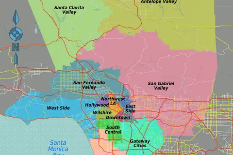
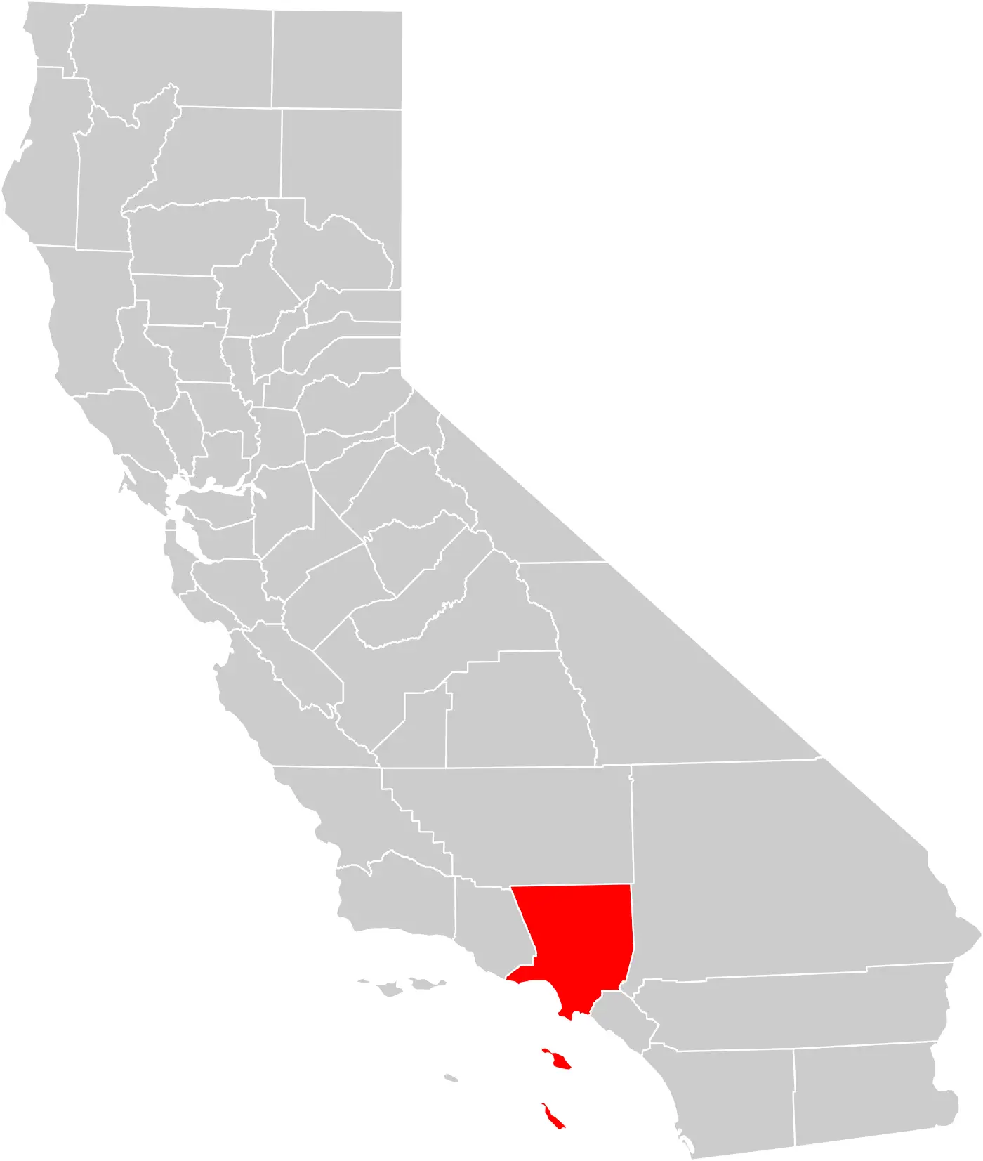
California County Map Los Angeles County Highlighted
Click or tap the map to enlarge it.
Key Takeaways
- California County Map highlighting Los Angeles County.
- Los Angeles County is the most populous county in California.
- The map provides a visual representation of the county’s location within California.
- Los Angeles County is known for its diverse culture, entertainment industry, and beautiful natural landscapes.
History
Los Angeles County, located in the southern part of California, was established on February 18, 1850. It is one of the original 27 counties of California. The county’s name comes from the Spanish language, meaning “The Angels.” It is famous for its association with the entertainment industry and the Hollywood district.
Unique Insights
Los Angeles County is not only known for the glamorous city of Los Angeles but also for its magnificent natural beauty. The county encompasses stunning coastal areas, including popular beaches like Malibu and Santa Monica. Additionally, it is home to the picturesque San Gabriel Mountains, providing ample opportunities for outdoor activities such as hiking, camping, and skiing.
Relevant Facts
| Year | Event |
|---|---|
| 1834 | The area of Los Angeles County was part of the Mexican land grant known as Rancho San Pascual. |
| 1850 | Los Angeles County was officially established as one of the original California counties. |
| 1884 | The first electric railway in Los Angeles County, the Los Angeles and San Gabriel Valley Railroad, was opened. |
| 1913 | Los Angeles County opened its first public freeway, the Arroyo Seco Parkway (now known as the Pasadena Freeway). |
| 1923 | The iconic Hollywood Sign was erected in the hills of Los Angeles County. |
Frequently Asked Questions (FAQ)
1. What is the population of Los Angeles County?
The population of Los Angeles County is approximately 10 million people.
2. Which city is the county seat of Los Angeles County?
The county seat of Los Angeles County is the city of Los Angeles.
3. What are some popular tourist attractions in Los Angeles County?
Popular tourist attractions in Los Angeles County include the Hollywood Walk of Fame, Universal Studios Hollywood, Griffith Observatory, Getty Center, and Venice Beach.
4. Is Los Angeles County known for its beaches?
Yes, Los Angeles County has several beautiful beaches, including Malibu, Santa Monica, Venice, and Zuma Beach.
5. Are there any national parks or forests in Los Angeles County?
Yes, Los Angeles County is home to Angeles National Forest, which offers scenic hiking trails, campgrounds, and picnic areas.
6. What is the climate like in Los Angeles County?
Los Angeles County has a Mediterranean climate with mild, wet winters and warm, dry summers.
7. How can I reach Los Angeles County by air?
Los Angeles County is served by several airports, including Los Angeles International Airport (LAX), Burbank Bob Hope Airport (BUR), and Long Beach Airport (LGB).