First Capital Connect Route Map 2010
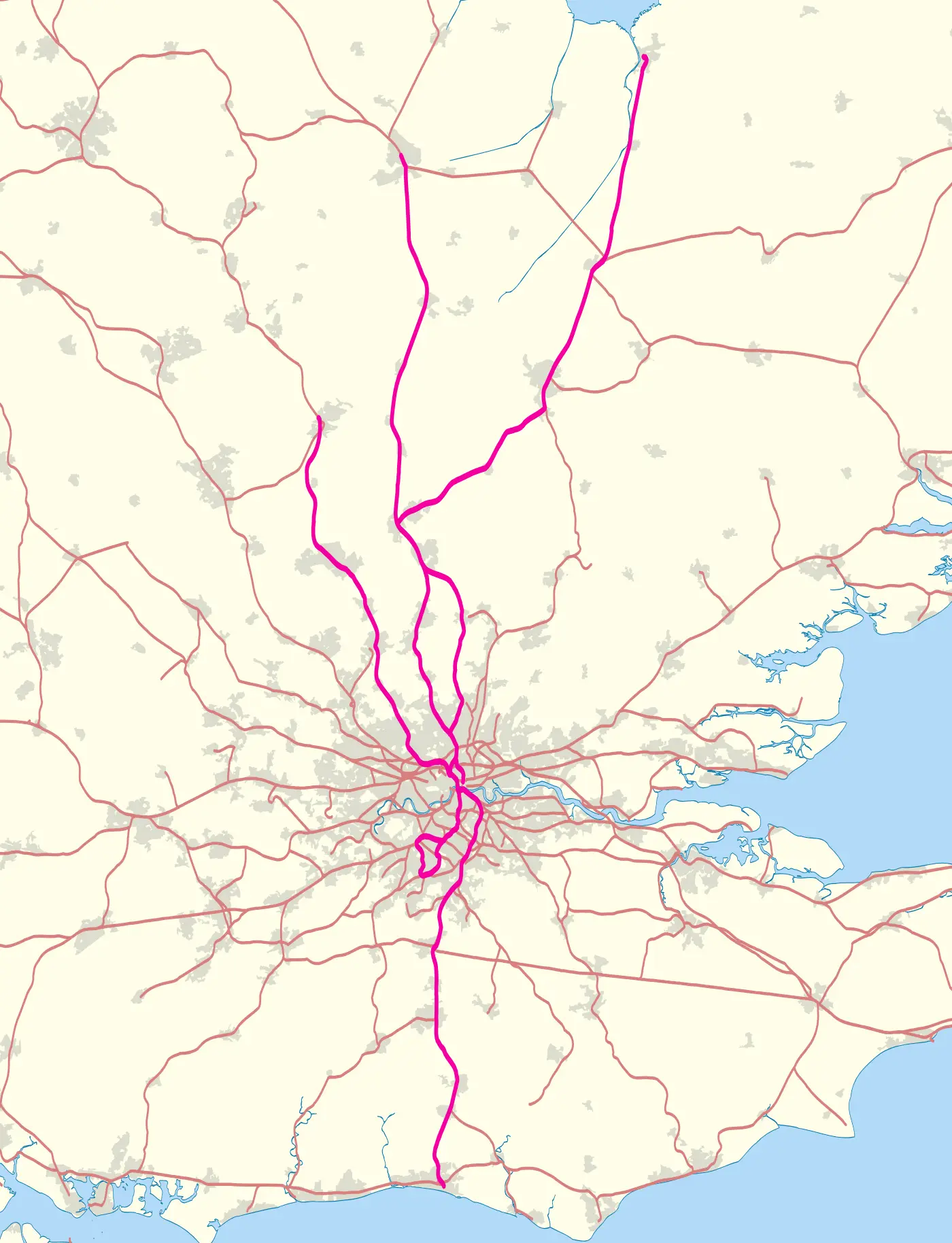
Click or tap the map to enlarge it.
First Capital Connect Route Map 2010
Key Takeaways
- The First Capital Connect Route Map for 2010 provides an overview of the rail network and stations covered by First Capital Connect.
- This map displays the train lines, major stations, and interchanges within the First Capital Connect network during the year 2010.
- Travelers can use this map to plan their journeys, identify the nearest stations, and explore the train connections available.
History
The First Capital Connect Route Map for 2010 was developed by First Capital Connect, a train operating company in the United Kingdom. It showcases the rail routes and stations covered by the company during that particular year. The map aimed to provide a visual representation of the train services available and help passengers navigate the extensive network efficiently.
First Capital Connect operated in Southeast England, connecting various regions including London, Bedfordshire, Hertfordshire, Cambridgeshire, and Peterborough. It offered both suburban and long-distance services, connecting commuters to major cities and towns in the region.
The First Capital Connect Route Map for 2010 played a crucial role in assisting passengers in understanding the train connections, identifying relevant stations, and planning their journeys. It served as a valuable resource for both regular commuters and occasional travelers exploring the region.
Unique Insights
- The First Capital Connect Route Map for 2010 provides a comprehensive overview of the train routes and stations within First Capital Connect’s network.
- Passengers can use the map to identify key interchanges, allowing them to plan transfers and change trains conveniently.
- The map highlights major stations, providing an understanding of the network’s coverage and facilitating route planning.
- It also showcases additional information such as service frequency, allowing passengers to gauge the availability and frequency of trains on the various routes.
Relevant Facts
| Year | Company | Network Coverage | Regions Served |
|---|---|---|---|
| 2010 | First Capital Connect | Southeast England | London, Bedfordshire, Hertfordshire, Cambridgeshire, Peterborough |
First Capital Connect operated an extensive network within Southeast England, covering major regions such as London, Bedfordshire, Hertfordshire, Cambridgeshire, and Peterborough during the year 2010.
Frequently Asked Questions (FAQ)
1. How can I obtain a physical copy of the First Capital Connect Route Map for 2010?
You may contact First Capital Connect or visit their website to inquire about obtaining a physical copy of the route map.
2. Are there any additional resources available for trip planning within First Capital Connect’s network?
Yes, First Capital Connect often provides additional resources on their website, including journey planners and timetable information.
3. Can I find the updated version of this map for the current year?
First Capital Connect’s route maps may vary each year. It is advisable to visit their website or contact them for the most up-to-date version.
4. Are there any discounts available for frequent commuters?
First Capital Connect may offer various ticketing options and discounts for frequent commuters. It is recommended to check their website or inquire with their customer service for more information.
5. What services does First Capital Connect provide apart from train operations?
In addition to train services, First Capital Connect may offer other amenities such as ticket purchasing options, travel assistance, and station facilities.
6. Can I use the First Capital Connect Route Map for 2010 to plan my journey in reverse?
Yes, the route map can be used to plan journeys in both directions, providing an overview of the available train connections within the network.
7. Are there any mobile applications available for accessing the route map on-the-go?
First Capital Connect may have mobile applications that provide access to the route map and other useful features for travelers. It is worthwhile to explore their official mobile app offerings.