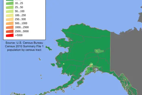
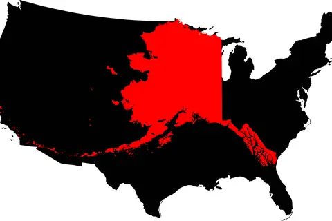
Flag Map of Alaska
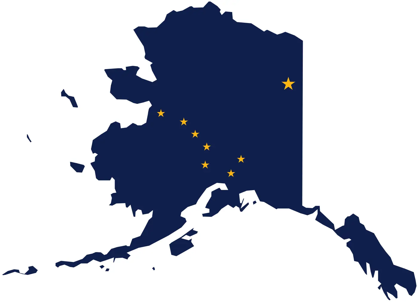
Click or tap the map to enlarge it.
Key Takeaways
- The Flag Map of Alaska is a visually appealing representation of the state’s flag.
- It combines the unique design elements of the Alaska flag with the geographical outline of the state.
- The map serves as an artistic and informative way to showcase Alaska’s identity.
History of the Flag Map Of Alaska
The Flag Map of Alaska is an innovative creation that merges the iconic elements of the Alaska flag with the geographic boundary of the state. The Alaska flag was designed by a 13-year-old Benny Benson in 1927. It features a blue field with eight gold stars representing the Big Dipper and the North Star, symbolizing Alaska as the northernmost state in the United States.
The idea of combining the Alaska flag with an outline map originated in recent years as a way to present the state’s unique identity in a visually striking manner. This creative design brings together the symbols of Alaskan pride, highlighting both the flag’s heritage and the beauty of the state’s geography.
Unique Insights
- The Flag Map of Alaska reflects the pride and connection Alaskans have with their state.
- It showcases the distinct geographical features of Alaska, including its vast wilderness, mountains, and coastline.
- The unique combination of symbols on the map merges history, geography, and art, making it a compelling piece of cartographic representation.
Table of Relevant Facts
| Year | Event |
|---|---|
| 1927 | Benny Benson designs the Alaska flag. |
| Recent years | The concept of Flag Map of Alaska emerges. |
FAQ
1. What is the inspiration behind combining the Alaska flag with a map?
The inspiration behind combining the Alaska flag with a map is to showcase Alaska’s unique identity. By merging the flag’s iconic elements with the state’s geographical outline, the Flag Map of Alaska serves as an artistic representation of Alaskan pride and connection to the land.
2. Who designed the Alaska flag?
The Alaska flag was designed by Benny Benson in 1927 when he was only 13 years old. His design features a blue field with eight gold stars resembling the Big Dipper and the North Star.
3. What do the stars on the Alaska flag represent?
The eight gold stars on the Alaska flag represent the Big Dipper constellation and the North Star. They symbolize Alaska as the northernmost state in the United States.
4. When did the concept of Flag Map of Alaska emerge?
The concept of the Flag Map of Alaska emerged in recent years as a way to creatively present the state’s unique identity. The combination of the Alaska flag and the geographical outline of the state came together to create a visually striking representation.
5. What does the Flag Map of Alaska showcase?
The Flag Map of Alaska showcases the distinctive geographic features of the state, including its vast wilderness, majestic mountains, and extensive coastline. It serves as a tribute to Alaska’s natural beauty.
6. Can the Flag Map of Alaska be used for educational purposes?
Absolutely! The Flag Map of Alaska is not only visually appealing but also a valuable educational resource. It allows students and enthusiasts to explore both the state’s flag design and its geographical features simultaneously.
7. Where can I find the Flag Map of Alaska?
The Flag Map of Alaska can be found in various formats, including prints, posters, and digital images. It is available in souvenir shops, online marketplaces, and websites specializing in cartographic artwork.
External Links
List of LSI Keywords
- Flag Map Of Alaska
- Alaska Flag
- Alaska’s Identity
- Visual Representation
- Geographical Outline
- Artistic Design
- History of Alaska’s Flag
- Pride and Connection
- Geographic Features of Alaska
- Creative Cartographic Representation
- Benny Benson
- Big Dipper and North Star