Flag Map of the Cyprus Greece
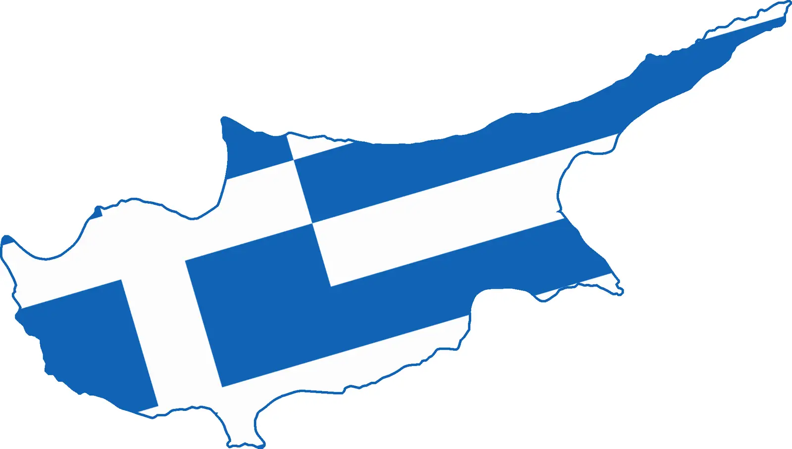
Click or tap the map to enlarge it.
Key Takeaways
- The Flag Map of Cyprus Greece is an interesting representation of the countries’ flags combined with their geographical outlines.
- This unique map showcases the cultural and political relationship between Cyprus and Greece.
- It serves as an educational tool for exploring the geography and symbols of these nations in one visually appealing map.
History of the Flag Map of Cyprus Greece
The Flag Map of Cyprus Greece has its roots in the enduring historical and cultural connections between the Mediterranean island of Cyprus and Greece. Cyprus, situated in the eastern Mediterranean, possesses a complex history interwoven with influences from various civilizations.
Throughout centuries, Cyprus experienced periods of Greek and Roman rule, Byzantine Empire sovereignty, Crusader occupation, Venetian domination, and eventually becoming a British colony in 1925. As a result of Cyprus’s cultural ties with Greece, calls for Greek-Cypriot union with Greece, known as “enosis,” emerged.
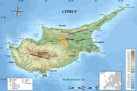
The map represents the aspiration of unity between the two nations. It combines the flags of Cyprus and Greece, along with their national symbols, embedded within the geographical outline. This artistic endeavor visually demonstrates the shared heritage and kinship between Cyprus and Greece.
Unique Insights
- The Flag Map of Cyprus Greece brings together the key elements of both countries, showcasing their symbols and geography in a single representation.
- It highlights the strong cultural ties between Cyprus and Greece, emphasizing their historical, social, and political similarities.
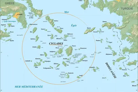
- By studying this map, one can gain a better understanding of the geographical relationship and proximity of these two nations.
- The Flag Map acts as a reminder of the aspirations for enosis and the ongoing discussions surrounding this topic within the Greek-Cypriot population.
- This map promotes the appreciation of cultural diversity and encourages dialogue between neighboring countries.
Table: Relevant Facts
| Year | Event |
|---|---|
| 330 BC | Alexander the Great conquers Cyprus, incorporating it into the Hellenistic Empire. |
| 1571 | The Ottoman Empire conquers Cyprus, ending the Venetian rule. |
| 1821 | Greek War of Independence begins, seeking independence from the Ottoman Empire. |
| 1878 | Cyprus is placed under British administration, ending Ottoman rule. |
| 1960 | Cyprus gains independence from British rule. |
FAQ
1. What is the significance of the Flag Map of Cyprus Greece?
The Flag Map of Cyprus Greece represents the cultural and political unity between Cyprus and Greece, showcasing their flags and geography in one comprehensive map.
2. How can this map be used for educational purposes?
The map serves as an educational tool for students and enthusiasts interested in learning about the shared heritage, symbols, and geographical proximity of Cyprus and Greece.
3. What is the historical context behind this map?
The historical context revolves around Cyprus and Greece’s intertwined past, including periods of Greek and Roman rule, Byzantine Empire sovereignty, Venetian domination, and British colonial administration.
4. Does this map have any political implications?
The map represents the desire for unity and ongoing discussions surrounding enosis, which is a politically sensitive topic within the Greek-Cypriot population.
5. Are there any other similar flag maps of different regions?
Yes, several flag maps exist that combine the flags and geographical outlines of different regions or countries, showcasing their cultural links and geographic proximity.
6. How does this map contribute to cultural understanding?
The Flag Map of Cyprus Greece promotes cultural understanding by emphasizing the shared heritage, geography, and symbols of these neighboring countries, sparking dialogue and appreciation of diversity.
7. Can this map be used for decorative purposes?
Absolutely! The Flag Map of Cyprus Greece’s visually striking design makes it an attractive choice for decorative purposes in educational institutions, offices, or even personal spaces.