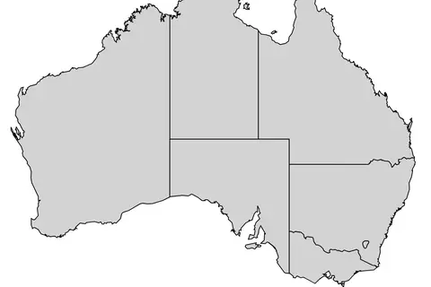
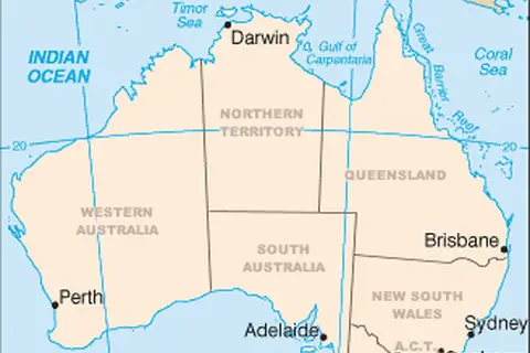
Flagmap of States and Territories of Australia
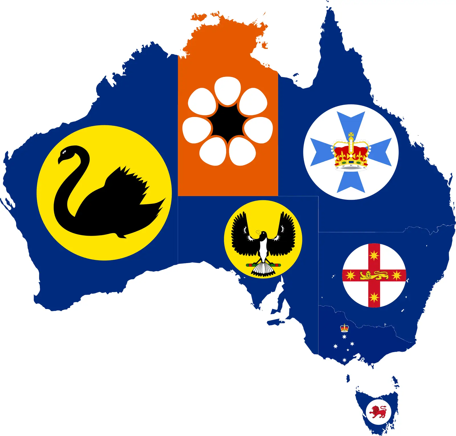
Click or tap the map to enlarge it.
Key Takeaways
- The Flagmap of States and Territories of Australia showcases the regional flags within the country.
- This map provides a visual representation of the unique identities of Australia’s states and territories.
- Each flag reflects the history, culture, and symbolism of its respective region.
- The Flagmap of States and Territories of Australia serves as an educational tool and a representation of national unity.
History
Australia, known for its vast and diverse landscapes, consists of six states and two major mainland territories. Each region has its own unique history and identity, which is reflected in the flags associated with them. The Flagmap of States and Territories of Australia visually represents these flags and highlights the regional diversity within the nation.
Unique Insights
1. Symbolism and Meaning
The flags displayed on the Flagmap of States and Territories of Australia carry deep symbolism and meaning. For example, the flag of New South Wales features a blue ensign with the Union Jack in the canton, symbolizing the state’s historical ties to Great Britain. On the other hand, the flag of the Northern Territory portrays a stylized Sturt’s desert rose, a native flower of the region, representing its unique flora and fauna.
2. Indigenous Connections
The flags also have significant connections to Australia’s Indigenous cultures. The flag of the Australian Capital Territory incorporates a design known as the “Ngunnawal Shield” that represents the Indigenous heritage of the region. This inclusion highlights the importance of recognizing and respecting the land’s traditional owners.
3. Historical Evolution
Several flags have undergone changes over time to reflect shifting societal values and political dynamics. For instance, the flag of Victoria has evolved from a predominantly dark blue design to a more vibrant one, incorporating a representation of the Southern Cross constellation. These changes reflect a desire to modernize and align with contemporary symbolism.
Table of Relevant Facts
| State/Territory | Date of Flag Adoption | Main Flag Elements |
|---|---|---|
| New South Wales | 1876 | Blue ensign with the Union Jack in the canton |
| Victoria | 1877 | Dark blue background with the Southern Cross constellation |
| Queensland | 1876 | A blue ensign with a badge located on the fly |
| South Australia | 1904 | Blue ensign with a piping shrike emblem |
| Western Australia | 1953 | Gold background with a black swan |
| Tasmania | 1876 | A red ensign with a badge located on the fly |
| Australian Capital Territory | 1993 | White Southern Cross and a modified Ngunnawal Shield |
| Northern Territory | 1978 | Black, white, and ochre with a stylized Sturt’s desert rose |
Frequently Asked Questions
-
What is the purpose of the Flagmap of States and Territories of Australia?
The Flagmap serves as a visual representation of the flags associated with Australia’s states and territories, showcasing their unique identities.
-
How many states and territories are there in Australia?
Australia consists of six states and two major mainland territories.
-
What do the elements on the flags represent?
The flag elements represent various aspects such as historical ties, flora and fauna, indigenous heritage, and unique identities of each state and territory.
-
Why have some flags changed over time?
Flags have evolved to reflect shifting societal values, cultural changes, and contemporary symbolism.
-
Who designed the flags?
The flags were designed by individuals who aimed to capture the essence and symbolism of each state and territory.
-
Are these flags officially recognized?
Yes, the flags displayed on the Flagmap are officially adopted flags of the respective states and territories.
-
Where can I see the Flagmap of States and Territories of Australia?
The Flagmap can be found in various educational resources and online platforms that focus on Australian geography and culture.