India States and Union Territories Map Mr
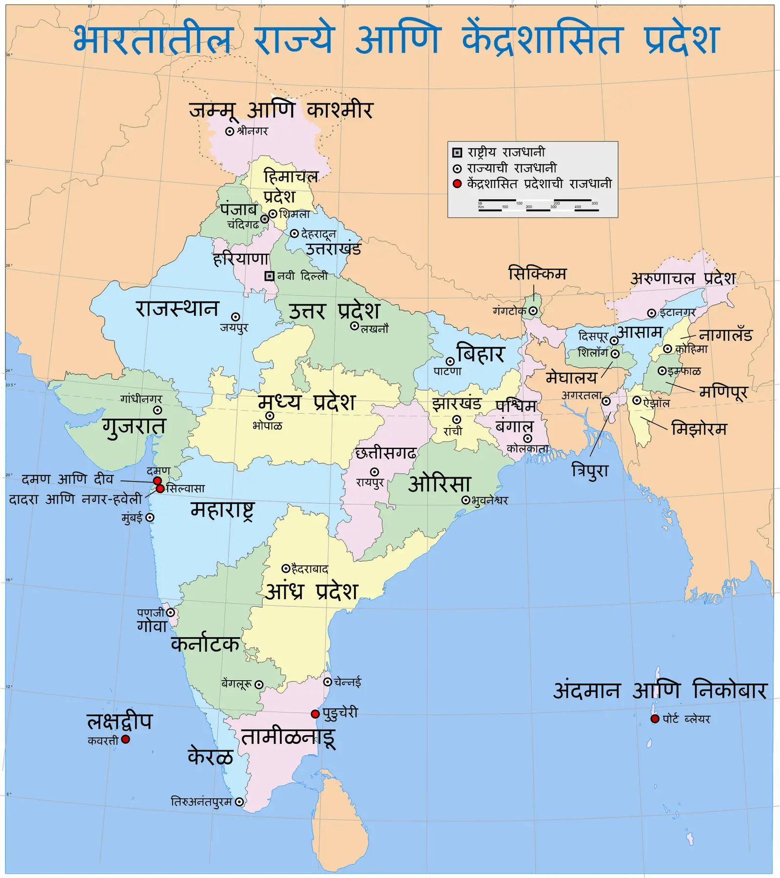
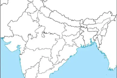
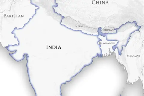
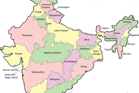
Click or tap the map to enlarge it.
Key Takeaways
- India is a diverse country with 28 states and 8 union territories.
- The map showcases the administrative division of India.
- Each state and union territory has a unique culture, language, and geography.
- This map is an essential tool for understanding the political and geographical landscape of India.
History
The map of India’s states and union territories has evolved over time. Following India’s independence in 1947, the country was initially divided into 14 states and 6 union territories. However, with the reorganization of states in 1956, the number increased to 16 states and 6 union territories.
Over the years, India witnessed further changes in its political landscape, resulting in the addition of new states and the formation of new union territories. The most recent modification occurred in 2019 when the state of Jammu and Kashmir was reorganized into two separate union territories, namely Jammu and Kashmir, and Ladakh.
Unique Insights
- India’s largest state, both in terms of area and population, is Uttar Pradesh.
- Goa is the smallest state in India by area.
- The union territory of Delhi serves as the capital of India.
- Rajasthan is the largest state in India by area.
- The southernmost state of India is Tamil Nadu.
Table of Relevant Facts
| Year | Event |
|---|---|
| 1947 | India gains independence from British rule. |
| 1956 | Reorganization of states: Increase in the number of states and union territories. |
| 2019 | Reorganization of Jammu and Kashmir into two separate union territories. |
FAQ
1. How many states are there in India?
India consists of 28 states.
2. How many union territories are there in India?
India has 8 union territories.
3. Which state is the largest in India?
Uttar Pradesh is the largest state in India.
4. Which state is the smallest in India?
Goa is the smallest state in India.
5. What is the capital of India?
The capital of India is Delhi, which is a union territory.
6. When was the state of Jammu and Kashmir reorganized into union territories?
It was reorganized in 2019.
7. How many union territories were there before the reorganization of Jammu and Kashmir?
There were 7 union territories before the reorganization of Jammu and Kashmir.