Map of Africa from Encyclopaedia Britannica 1890
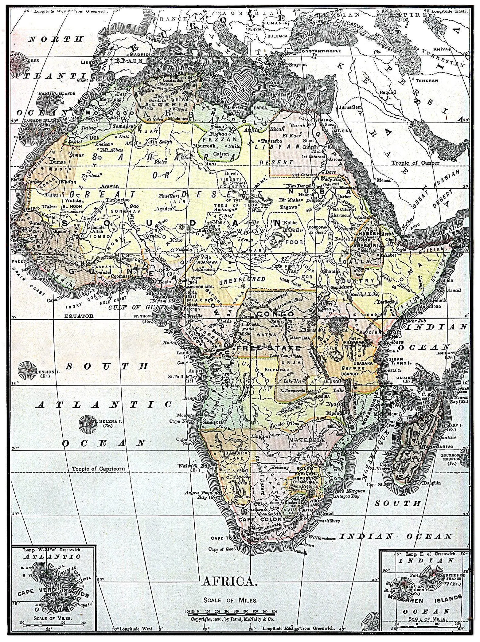
Click or tap the map to enlarge it.
Key Takeaways
- The Map of Africa from Encyclopaedia Britannica 1890 provides valuable insights into the historical boundaries and geographic features of the African continent during that period.
- It showcases the colonial territories, ethnic groups, and major cities existing at the time, presenting a remarkable snapshot of Africa’s political, cultural, and natural landscape in the late 19th century.
- The map is an essential resource for historians, researchers, and enthusiasts interested in Africa’s history and geopolitical evolution.
History
The Map of Africa from Encyclopaedia Britannica 1890, also known as the “Encyclopaedia Britannica 1890 Africa Map,” is a historical cartographic representation of the African continent. Created in 1890, it was a time marked by the Scramble for Africa, during which European powers were actively colonizing the continent.
This atlas map of Africa offers a glimpse into the early stages of European imperialism in Africa, depicting the European colonial territories, indigenous African kingdoms, and independent nations.
Unique Insights
While exploring the Map of Africa from Encyclopaedia Britannica 1890, several unique insights can be gained:
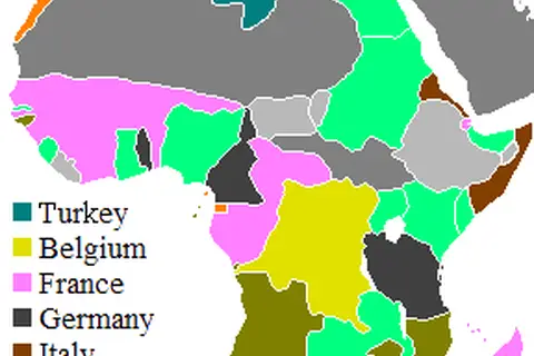
- The vast territory of Africa was divided and occupied by various European powers, including Britain, France, Germany, Italy, Portugal, and Belgium.
- The arbitrary boundaries drawn by the colonial powers often disrupted pre-existing ethnic and cultural regions, leading to ongoing challenges in the continent’s stability.
- Many African kingdoms and territories were still autonomous during this time, with powerful empires such as the Sokoto Caliphate, Ashanti Empire, Zulu Kingdom, and others ruling over substantial areas.
- The map showcases natural geographical features like the Nile River, Sahara Desert, Congo River, Great Lakes, and significant mountain ranges, highlighting Africa’s diverse landscapes.
Table of Facts
| Date | Event |
|---|---|
| 1884-1885 | The Berlin Conference formalizes European colonization and partitioning of Africa. |
| 1884-1891 | Main stages of the Mahdist War in Sudan. |
| 1888 | Cecil Rhodes establishes Rhodesia (modern-day Zimbabwe and Zambia) as a British South Africa Company territory. |
| 1890 | The British South Africa Company establishes control over Mashonaland (modern-day Zimbabwe). |
| 1896-1897 | The Anglo-Zanzibar War becomes the shortest recorded war in history, lasting approximately 38 minutes. |
| 1897-1898 | Benin City in modern-day Nigeria is burned and looted by British forces during the Punitive Expedition. |
| 1899-1902 | The Second Boer War occurs between the British Empire and Boer Republics in South Africa. |
Frequently Asked Questions (FAQ)
1. What is the significance of the Map of Africa from Encyclopaedia Britannica 1890?
The Map of Africa from Encyclopaedia Britannica 1890 holds historical significance as it captures the state of Africa during the era of European colonization, providing valuable insights into Africa’s political and cultural landscape.
2. How accurate is the map?
The map reflects the understanding and knowledge available during the late 19th century. However, it may not be entirely accurate in terms of precise borders or geographical details, as cartographic techniques and information were limited at that time.
3. What were some major colonial powers depicted on the map?
The map shows territories controlled by prominent colonial powers such as Britain, France, Germany, Italy, Portugal, and Belgium.
4. Does the map highlight any natural landmarks?
Yes, the map highlights significant natural features like the Nile River, Sahara Desert, Congo River, Great Lakes, and various mountain ranges.
5. Were there any independent African kingdoms during that time?
Absolutely. Several African kingdoms, including the Sokoto Caliphate, Ashanti Empire, and Zulu Kingdom, remained autonomous and had considerable influence over their territories.
6. How did European colonization impact Africa?
European colonization disrupted existing socio-political structures, leading to ongoing challenges in post-colonial Africa. It also greatly influenced African history, culture, and political boundaries.
7. Where can I access the Map of Africa from Encyclopaedia Britannica 1890?
You can find the Map of Africa from Encyclopaedia Britannica 1890 in historical archives, libraries, or online resources specializing in cartographic collections.