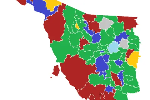
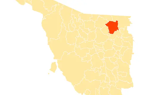
Mapa Municipios Sonora
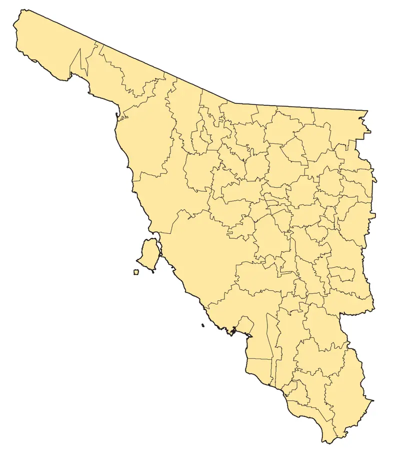
Click or tap the map to enlarge it.
Mapa Municipios Sonora – Key Takeaways
- Sonora is a state located in northwestern Mexico.
- The Mapa Municipios Sonora showcases the municipalities within the state.
- It provides valuable information about the administrative divisions of Sonora.
- The map serves as a useful reference tool for understanding the geography of Sonora.
- It helps in identifying and locating different municipalities within the state.
History
The Mapa Municipios Sonora has a rich history that dates back to the formation of the state itself. Sonora was officially recognized as a state in 1824, following Mexico’s independence from Spain.
Over the years, Sonora’s administrative divisions have undergone several changes. The map helps in visualizing these changes and understanding the development of municipalities within the state.
The Mapa Municipios Sonora is continuously updated to reflect any changes in the boundaries or names of municipalities, providing accurate and up-to-date information about the state’s administrative divisions.
Unique Insights
- Sonora is the second-largest state in Mexico, covering an area of approximately 182,052 square kilometers.
- The state is known for its diverse landscapes, ranging from deserts and mountains to coastal areas.
- Mapa Municipios Sonora allows you to explore the different municipalities and their geographical features.
- The map highlights important cities in Sonora, such as Hermosillo (the state capital), Ciudad Obregón, and Nogales.
- You can also see the distribution of smaller towns and rural areas within the state.
Table of Relevant Facts
| Year | Event |
|---|---|
| 1824 | Sonora becomes an official state of Mexico. |
| 1912 | The Mexican Revolution impacts Sonora, leading to political and social changes. |
| 1927 | The first paved road in Sonora is completed between Nogales and the capital city, Hermosillo. |
| 1950s-1960s | Mining and agriculture become significant industries in Sonora. |
| 2000 | The population of Sonora surpasses 2.4 million. |
FAQ
1. How many municipalities are there in Sonora?
Sonora is divided into 72 municipalities.
2. What is the capital city of Sonora?
The capital city of Sonora is Hermosillo.
3. Can I find tourist attractions on the Mapa Municipios Sonora?
The Mapa Municipios Sonora primarily focuses on displaying the administrative divisions of the state. However, you can find cities and towns, which may serve as starting points for exploring tourist attractions in Sonora.
4. Is the Mapa Municipios Sonora available in different languages?
Currently, the map is available in Spanish. However, there may be translations available in the future.
5. How often is the Mapa Municipios Sonora updated?
The map is regularly updated to ensure accuracy and reflect any changes in municipality boundaries or names.
6. Can I download a high-resolution version of the Mapa Municipios Sonora?
Yes, you can download a high-resolution version of the map from the official website.
7. Are there any educational resources available alongside the map?
Yes, the official website provides educational resources that complement the Mapa Municipios Sonora, including information about the history, culture, and geography of the state.