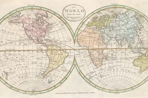
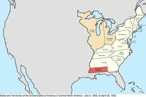
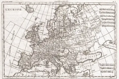
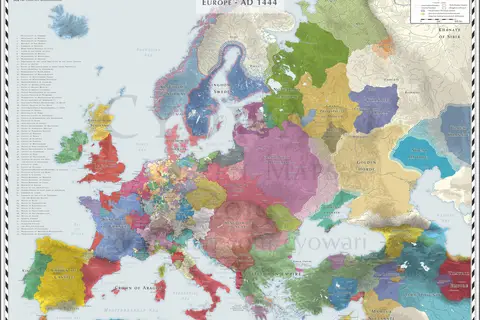
World Map for Navigation 1600
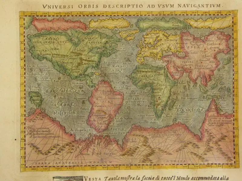
Click or tap the map to enlarge it.
World Map for Navigation 1600: A Comprehensive Guide
Key Takeaways
- Map Title: World Map for Navigation 1600
- Designed to aid navigation during the 17th century
- Showcases the known world at that time
- Provides valuable historical and geographical insights
- A fascinating artifact of the Age of Discovery
- Highlights the exploration and colonization efforts of various countries
- Offers a glimpse into the cartographic techniques of the era
History
The World Map for Navigation 1600 is a significant cartographic representation that emerged during the Golden Age of Exploration in the 17th century. During this period, European powers embarked on voyages of discovery, seeking new trade routes and territories.
This map was created to aid sailors and explorers in their maritime journeys, providing them with a comprehensive image of the known world at the time. It depicts continents, countries, oceans, and major trade routes, offering a valuable tool for navigation in the vast and largely uncharted waters.
While the map is not entirely accurate by modern standards, it played a crucial role in shaping the understanding of the world and fueling exploration and colonization efforts. It represents the prevailing knowledge and understanding of geography during the 17th century, reflecting the beliefs, biases, and limited information available to cartographers and explorers at that time.
Unique Insights
The World Map for Navigation 1600 provides several unique insights into the historical and geographical context of the era. Here are some notable observations:
- 1. Exploration and Colonization Efforts: The map highlights the maritime dominance of European powers during the Age of Discovery, emphasizing the colonization of the Americas, Asia, and Africa.
- 2. Trade Routes: It offers a visualization of major trade routes, such as the Silk Road and Spice Routes, which were crucial for establishing commercial connections between regions during that time.
- 3. Limited Knowledge of the World: Certain regions, such as Australia and Antarctica, are missing or inaccurately represented on the map due to limited exploration and knowledge.
- 4. Influence of Religion: The map reflects the religious perspectives of the time, with Jerusalem often depicted at the center and biblical references incorporated into the cartography.
- 5. Cartographic Techniques: The map showcases the advancements in cartographic techniques, including the use of coordinates, compass roses, and decorative illustrations.
Table of Relevant Facts
| Event | Year | Description |
|---|---|---|
| Spanish Conquest of the Aztec Empire | 1519-1521 | The Spanish conquistador Hernán Cortés led an expedition that resulted in the fall of the Aztec Empire in present-day Mexico. |
| Portuguese Arrival in Japan | 1542 | Portuguese traders, led by Fernão Mendes Pinto, arrived in Japan, establishing the first European contacts with the country. |
| English Defeat of the Spanish Armada | 1588 | The English navy, under the command of Sir Francis Drake, achieved a significant victory over the Spanish Armada, leading to a decline in Spanish naval power. |
| Dutch Establishment of New Amsterdam | 1626 | The Dutch West India Company founded the settlement of New Amsterdam, which later became New York City in present-day United States. |
Frequently Asked Questions (FAQ)
-
1. What is the World Map for Navigation 1600?
The World Map for Navigation 1600 is a cartographic representation designed to aid sailors and explorers during the 17th century. It provides a comprehensive view of the known world at that time.
-
2. Who created the World Map for Navigation 1600?
The specific cartographer responsible for creating this map is unknown. However, it was likely crafted by skilled artisans and mapmakers of the time.
-
3. How accurate is the World Map for Navigation 1600?
The map is not entirely accurate by modern standards. It reflects the knowledge and understanding of geography during the 17th century, often incorporating inaccuracies, omissions, and subjective biases.
-
4. What can we learn from the World Map for Navigation 1600?
The map offers valuable insights into the exploration and colonization efforts of European powers, major trade routes of the time, cartographic techniques, and the limited knowledge of the world during that era.
-
5. Is the World Map for Navigation 1600 significant today?
While the map may not have practical navigational value in the modern world, it holds great historical and cultural significance as an artifact of the Age of Discovery and early cartography.
-
6. Where can I see the World Map for Navigation 1600?
Several museums and map collections around the world exhibit versions or replicas of the World Map for Navigation 1600. Online resources and digital archives also provide access to this historical map.
-
7. What are some other notable maps from this era?
Other notable maps from the same period include the Tabula Rogeriana, the Waldseemüller maps, and the Cantino Planisphere, each offering unique insights into the understanding of the world during different stages of exploration.