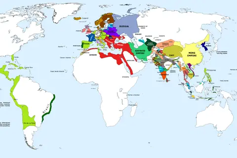
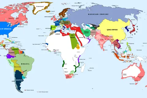
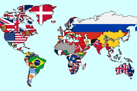
1899 Map of the World Comp by Irvine
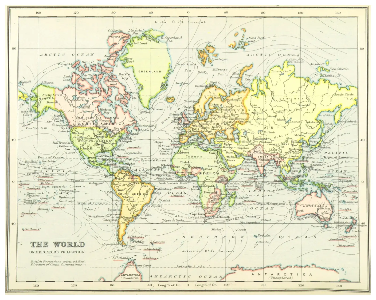
Click or tap the map to enlarge it.
1899 Map Of The World Comp By Irvine
Key Takeaways
- The “1899 Map Of The World Comp By Irvine” is a historically significant map.
- It provides a snapshot of the world in the late 19th century.
- The map showcases the territorial boundaries and political divisions of that time.
History
The “1899 Map Of The World Comp By Irvine” is a cartographic representation created in the year 1899 by
cartographer Irvine. It is a remarkable testament to the state of knowledge and geographical understanding
at the turn of the 20th century.
During this period, notable advancements were made in both geography and cartography. Explorers,
expeditions, and scientific observations contributed to improving the accuracy and detail of maps.
The map is an essential historical document that shows the world as it was understood around 120 years ago.
It reflects the political climate, imperial ambitions, and colonial holdings prevalent during that era.
Unique Insights
The “1899 Map Of The World Comp By Irvine” offers several unique insights into the world at that time:
- Empires and colonial powers, such as the British Empire, French Empire, and Russian Empire, held vast
territories across the globe. - Colonial holdings and spheres of influence were prominently featured, showcasing the global reach of
European powers. - Many regions, especially in Africa and Asia, were still depicted as “unexplored” or labeled with limited
knowledge about their interior. - The world was divided into distinct political boundaries, with countries like Germany, Italy, and Japan
establishing their positions on the global stage. - Technological advancements, such as the spread of railways and telegraph lines, were reflected on the
map, demonstrating the progress made during the Industrial Revolution.
Table of Relevant Facts
| Event | Date | Description |
|---|---|---|
| Boer War begins in South Africa | 1899 | The conflict between British forces and Boer settlers commenced, lasting until 1902. |
| Boxer Rebellion in China | 1899-1901 | A violent uprising against foreign influence in China, led by the secret society, the Boxers. |
| Spanish-American War ends | 1898 | Spain cedes its remaining colonies to the United States, marking the end of the war. |
Frequently Asked Questions (FAQ)
1. Who created the “1899 Map Of The World Comp By Irvine”?
The cartographic representation was created by Irvine in 1899.
2. What is the significance of this map?
This map provides valuable historical insights into the geopolitical landscape and colonial possessions of
nations around the year 1899.
3. Can I find accurate representations of modern-day boundaries on this map?
No, this map reflects the world as it was understood in the late 19th century and may not accurately depict
current political boundaries.
4. Are all regions of the world represented on this map?
While efforts were made to map the entire world, some regions, particularly in Africa and Asia, were shown
with limited information due to the knowledge gaps of that time.
5. How can I use this map for research purposes?
The “1899 Map Of The World Comp By Irvine” can be a valuable resource for historical research, providing
insights into the political and territorial contexts of the late 19th century.
6. Is this map available for public viewing?
The availability of this map may vary depending on its preservation and digitization efforts. Check with
local libraries, historical societies, or map archives for access to this map.
7. Are there any other maps from the same time period?
Yes, there are several maps from the late 19th century that provide different perspectives and details about
the world during that era.