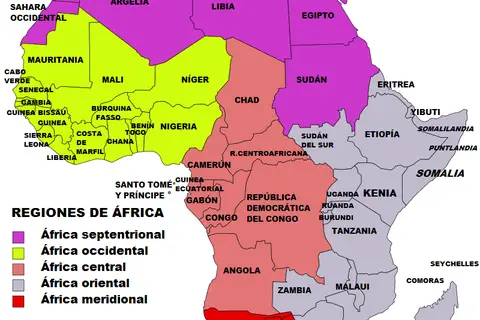
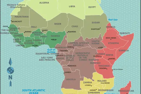
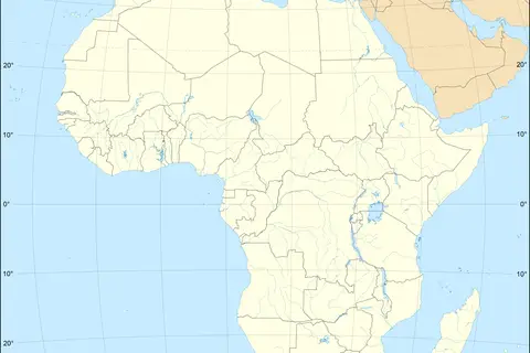
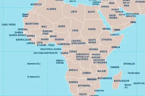
Africa Physical Map
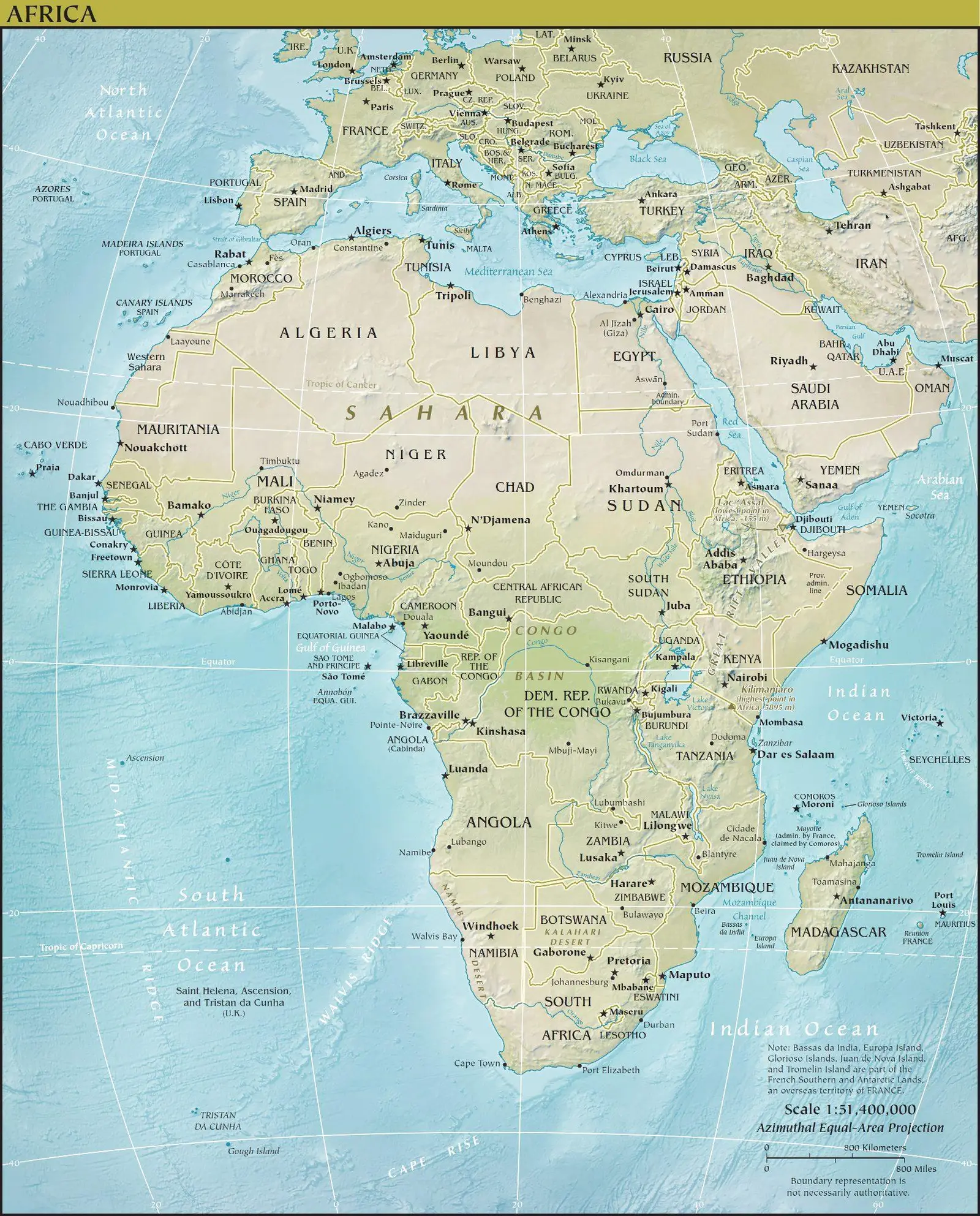
Click or tap the map to enlarge it.
Africa Physical Map – An Expert Guide
Key Takeaways
- The Africa Physical Map provides detailed information about the physical features of the continent.
- It showcases the diverse landscapes, including mountains, deserts, rivers, and lakes.
- This map is a great tool for explorers, researchers, and geography enthusiasts.
- The Africa Physical Map helps in understanding the geological aspects and natural resources of the continent.
History
The Africa Physical Map has evolved over centuries as explorers and cartographers have improved their knowledge of the continent’s geography. The earliest-known maps of Africa date back to ancient Greeks and Romans who started to document their knowledge of the continent’s shape and general features. However, it was not until the 19th century that accurate mapping of Africa became possible.
Early European explorers, such as David Livingstone and Henry Morton Stanley, contributed significantly to the mapping of Africa. Their expeditions and discoveries paved the way for more detailed cartography. The development of better surveying techniques, especially during the colonial era, further improved the accuracy of maps of Africa.
Today, modern cartographers utilize advanced satellite imagery, remote sensing technology, and Geographic Information Systems (GIS) to create highly detailed and accurate physical maps of Africa.
Unique Insights
Exploring the Africa Physical Map offers several unique insights into the continent’s geological features:
- Africa is the second-largest continent and covers about 20% of the Earth’s land surface.
- The continent is home to the longest river in the world, the Nile, which runs through 11 countries in northeastern Africa.
- The Sahara Desert, located in northern Africa, is the largest hot desert in the world.
- The Great Rift Valley, running through several countries in East Africa, is an impressive geological formation.
- The Atlas Mountains in North Africa stretch across Morocco, Algeria, and Tunisia, and provide stunning landscapes.
- The Congo Basin is the second-largest tropical rainforest in the world, rich in biodiversity.
- The Victoria Falls on the Zambezi River, bordering Zambia and Zimbabwe, is one of the largest waterfalls globally.
- The African Great Lakes, including Lake Victoria, Lake Tanganyika, and Lake Malawi, are essential freshwater resources.
Relevant Facts
| Year | Event |
|---|---|
| 1815 | The Congress of Vienna carves up Africa among European powers. |
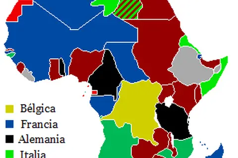
| 1884-1885 | The Berlin Conference leads to the “Scramble for Africa” as European countries divide the continent for colonization. |
| 1957 | Ghana becomes the first African country to gain independence from European colonial rule. |
| 1960s | The wave of decolonization sweeps across Africa, with many countries gaining independence. |
| 1994 | The end of apartheid in South Africa leads to the first multiracial democratic elections. |
Frequently Asked Questions (FAQ)
1. Why is the Africa Physical Map important?
The Africa Physical Map is important because it provides crucial information about the continent’s physical features, including mountains, rivers, deserts, and lakes. This aids in understanding the diverse landscapes and geological aspects of Africa.
2. How accurate are physical maps of Africa?
Modern physical maps of Africa are highly accurate, thanks to advanced technology and satellite imagery. However, it’s important to note that landscapes may change over time due to natural processes.
3. Can the Africa Physical Map be used for navigation?
While the Africa Physical Map primarily focuses on displaying geographical features, it can be used as a reference for navigation purposes. However, detailed navigational maps specifically designed for navigation purposes are more appropriate.
4. Where can I obtain a physical map of Africa?
Physical maps of Africa can be obtained from various sources, including local bookstores, online map retailers, or official geography institutes. Online platforms such as MapGeeks provide digital versions as well.
5. Are there any limitations to the Africa Physical Map?
The Africa Physical Map may not capture all minor or newly formed geological features. It’s important to refer to updated editions or supplementary resources for the most accurate and comprehensive information.
6. Can the Africa Physical Map be used for educational purposes?
Absolutely! The Africa Physical Map serves as an excellent educational resource for students, educators, and researchers interested in the continent’s geography, geology, and natural resources.
7. Are physical maps still relevant in the digital age?
Despite the advancements in digital mapping technology, physical maps remain relevant and continue to be widely used. They provide a tangible means of studying and understanding geographic features and are readily accessible in areas with limited internet connectivity.