Africapolitical Map
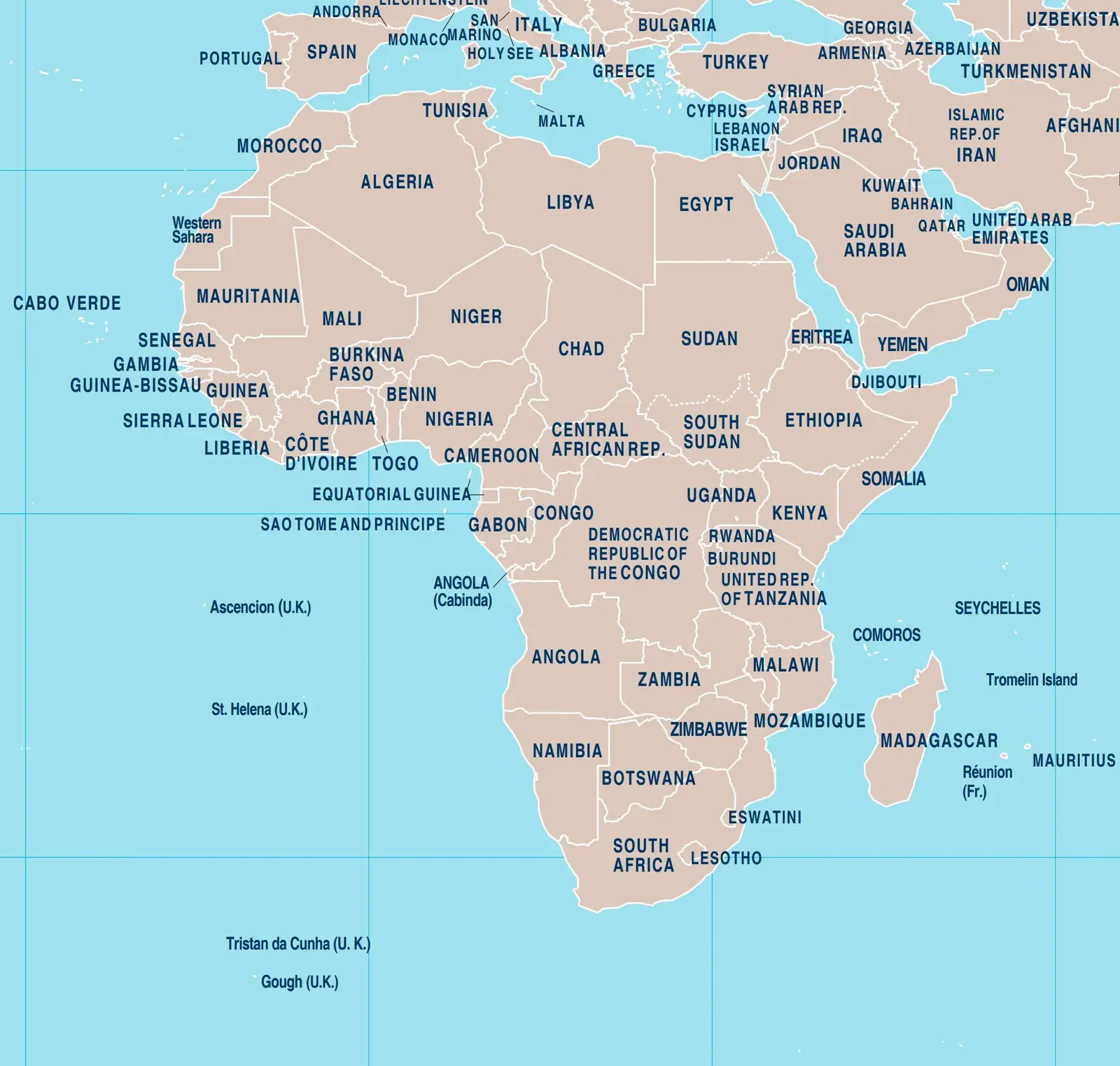
Click or tap the map to enlarge it.
Africapoliticalmap – A Comprehensive Guide to the Political Map of Africa
Key Takeaways
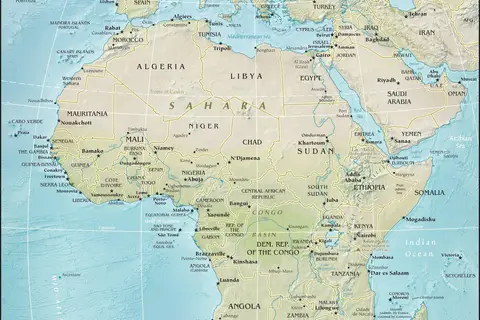
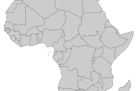
- The political map of Africa illustrates the countries and their boundaries within the continent.
- Africa is home to 54 recognized countries, each with its own unique culture, history, and political system.
- Understanding the political map of Africa is essential for various purposes like education, research, and travel.
- Political maps provide valuable insights into the territorial divisions and government structures of a region.
History
Africa, the second-largest continent in the world, has a rich and complex history. Over the centuries, Africa experienced the rise and fall of powerful empires, colonialism, and the struggle for independence.
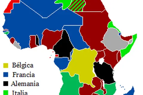
The political map of Africa has evolved significantly, reflecting the diverse cultures, languages, and ethnic groups present on the continent. The current political borders were largely shaped through decolonization movements and negotiations during the 20th century.
Following World War II, many African nations gained independence from colonial powers. The political landscape of Africa changed as new nations emerged and boundaries were redrawn. Today, Africa consists of 54 recognized countries, each with its own government and political system.
Unique Insights
- Africa is the only continent where you can find countries belonging to all major land hemispheres – Northern, Southern, Eastern, and Western.
- The African continent is known for its incredible biodiversity with a wide range of flora and fauna.
- The Nile River, the longest river in the world, flows through eleven countries in Africa.
- Africa is home to the Sahara Desert, the largest hot desert in the world, covering about one-third of the continent.
- The political boundaries in Africa do not always align with ethnic or linguistic divisions, leading to unique challenges and opportunities for African nations.
Table of Relevant Facts
| Year | Event |
|---|---|
| 1957 | Ghana becomes the first African country to gain independence from colonial rule. |
| 1994 | Nelson Mandela becomes the first black president of South Africa, marking the end of apartheid. |
| 2011 | South Sudan declares independence, becoming the newest country in Africa. |
| 2021 | The Tigray conflict unfolds in Ethiopia, causing a humanitarian crisis. |
FAQ
-
What is a political map?
A political map is a map that defines the boundaries and territories of countries, states, provinces, or other administrative divisions. It helps to understand the political structure of a region.
-
Why is it important to study the political map of Africa?
Studying the political map of Africa is vital for education, research, and travel purposes. It provides valuable information about the countries, their capitals, and their political systems.
-
How many countries are there in Africa?
Africa is home to 54 recognized countries.
-
Do political boundaries in Africa align with ethnic divisions?
No, political boundaries in Africa do not always align with ethnic or linguistic divisions. This can lead to unique challenges and opportunities for African nations.
-
What are some of the major landmarks in Africa?
Africa is known for its diverse landmarks, including the Nile River, Mount Kilimanjaro, the Sahara Desert, Victoria Falls, and the Serengeti National Park.
-
Which country in Africa has the largest population?
Nigeria is the most populous country in Africa with over 200 million people.
-
Are there any active conflicts in Africa?
Unfortunately, several regions in Africa are affected by conflicts or political instability, such as the Tigray conflict in Ethiopia or ongoing conflicts in countries like Libya, Mali, and the Democratic Republic of Congo.