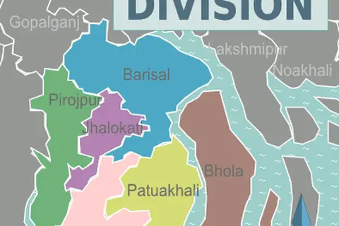
Bangladesh Political Map Administrative Divisions
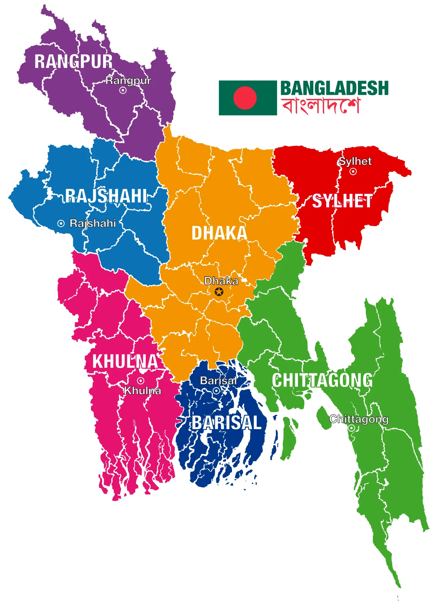
Click or tap the map to enlarge it.
Bangladesh Political Map Administrative Divisions
Key Takeaways
- Bangladesh is divided into administrative divisions for governance purposes.
- The country is divided into eight divisions, each with its own local government.
- These divisions play a crucial role in the decentralization and effective administration of Bangladesh.
- The divisions are further divided into districts, sub-districts, and unions for better governance.
History
Bangladesh became an independent nation in 1971 after separating from Pakistan. Initially, the country was divided into four administrative
divisions: Chittagong, Dhaka, Khulna, and Rajshahi. These divisions were subsequently reorganized into six divisions in 1983 with
the addition of Barisal and Sylhet. Finally, in 1993, the two additional divisions, Rangpur and Mymensingh, were added, bringing
the total number of divisions to eight.
Unique Insights
- Bangladesh’s administrative divisions help in coordinating and implementing various government policies at a regional level.
- Each division has its own capital city and administrative setup.
- The divisions are named after their respective capital cities.
- The divisions play a vital role in the economic development of the country, as they are responsible for regional planning and resource allocation.
- The administrative divisions facilitate the provision of government services and ensure effective governance at the grassroots level.
- These divisions have separate local government bodies, which help in decentralization and decision-making at a local level.
- The divisions also serve as important electoral constituencies during national elections.
Table of Relevant Facts
| Year | Administrative Divisions | Number of Divisions |
|---|---|---|
| 1971 | Chittagong, Dhaka, Khulna, Rajshahi | 4 |
| 1983 | Chittagong, Dhaka, Khulna, Rajshahi, Barisal, Sylhet | 6 |
| 1993 | Chittagong, Dhaka, Khulna, Rajshahi, Barisal, Sylhet, Rangpur, Mymensingh | 8 |
Frequently Asked Questions (FAQ)
-
What is the purpose of administrative divisions in Bangladesh?
The administrative divisions in Bangladesh serve as sub-national units for effective governance and regional planning. They help
decentralize power and ensure the efficient delivery of government services. -
How many divisions are there in Bangladesh?
Bangladesh is divided into eight administrative divisions.
-
What are the names of the eight divisions in Bangladesh?
The eight divisions in Bangladesh are Chittagong, Dhaka, Khulna, Rajshahi, Barisal, Sylhet, Rangpur, and Mymensingh.
-
Do the divisions have their own local government bodies?
Yes, each division in Bangladesh has its own local government body responsible for local administration and decision-making.
-
How do the divisions contribute to the economic development of Bangladesh?
The divisions facilitate regional planning and resource allocation, which contribute to the economic development of Bangladesh. They
help in identifying and addressing the specific needs of different regions in the country. -
Are the divisions important during national elections?
Yes, the divisions serve as important electoral constituencies during national elections. The divisions play a significant role in
the democratic process of the country. -
What is the significance of the capital cities within the divisions?
The capital cities of each division serve as administrative hubs and house various government offices, ensuring efficient governance
and decision-making.
External Links
Maps.com – Find detailed maps of Bangladesh
Official Website of Bangladesh Government
LSI Keywords
- Bangladesh geographical divisions
- Political map of Bangladesh
- Administrative setup in Bangladesh
- Districts and divisions in Bangladesh
- Decentralization in Bangladesh
- Local government in Bangladesh
- Capital cities of Bangladesh divisions
- Bangladesh regional planning
- Economic development in Bangladesh
- Bangladesh national elections