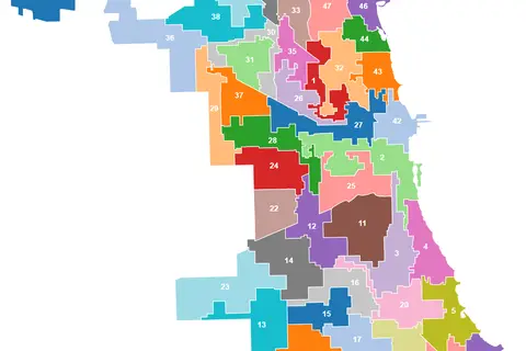
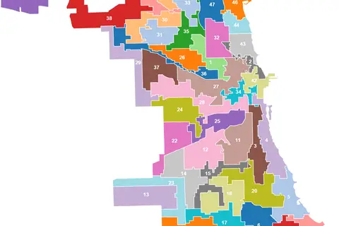
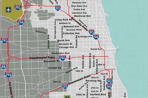
Chicago Map
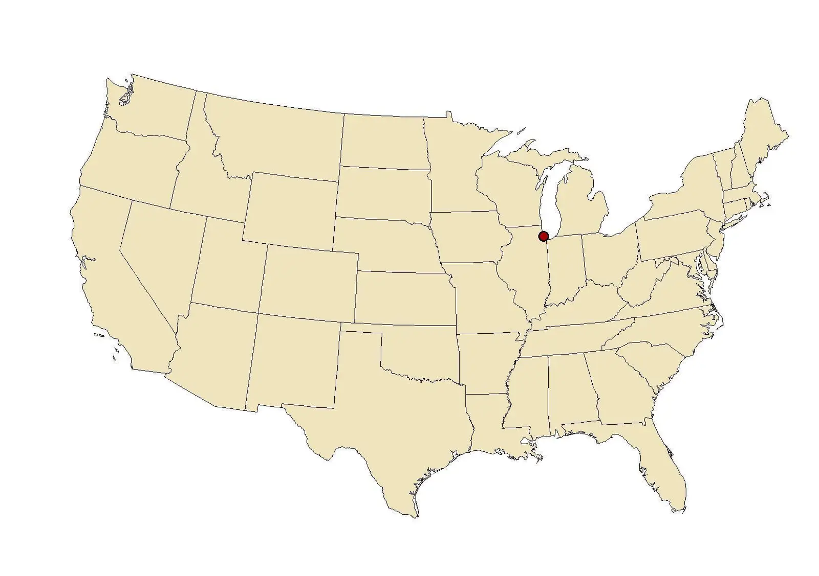
Click or tap the map to enlarge it.
Chicagomap: A Guide to Exploring Chicago
Key Takeaways
- Chicagomap provides a comprehensive view of the beautiful city of Chicago.
- It showcases various landmarks, neighborhoods, and attractions within the city.
- Chicagomap serves as a useful tool for tourists, locals, and cartography enthusiasts.
History of Chicago
Chicago, also known as the “Windy City,” is a bustling metropolis located in the state of Illinois, United States. It was founded in 1833 and rapidly grew into one of the major economic and cultural centers of the country. The rich history of Chicago is reflected in its diverse architecture, vibrant neighborhoods, and iconic landmarks.
Unique Insights
- Chicago is renowned for its impressive skyline, dominated by skyscrapers like the Willis Tower (formerly known as Sears Tower) and the John Hancock Center.
- The city is divided by the Chicago River, offering picturesque views and opportunities for river cruises.
- Chicago is home to several world-class museums, including the Art Institute of Chicago, Museum of Science and Industry, and Shedd Aquarium.
- Visitors can explore vibrant neighborhoods such as the Magnificent Mile, Lincoln Park, and Wicker Park, each offering unique experiences.
- The city’s iconic deep-dish pizza and Chicago-style hot dogs are must-try culinary delights.
Timeline of Significant Events in Chicago
| Year | Event |
|---|---|
| 1871 | The Great Chicago Fire destroys a significant portion of the city. |
| 1893 | Chicago hosts the famous World’s Columbian Exposition. |
| 1920s | Chicago becomes a major center of the Jazz Age and Prohibition era. |
| 1933 | The Chicago World’s Fair attracts millions of visitors to the city. |
| 1968 | Chicago hosts the Democratic National Convention, accompanied by large protests. |
| 2004 | Millennium Park, featuring the reflective Cloud Gate sculpture, opens to the public. |
| 2021 | Chicago celebrates its 188th anniversary. |
Frequently Asked Questions (FAQ)
1. What is the best time to visit Chicago?
The best time to visit Chicago is during the summer, from June to September, when the weather is pleasant, and numerous festivals take place.
2. How do I get around Chicago?
Chicago has an extensive public transportation system, including buses and trains. You can also explore the city on foot or rent a bike.
3. Can I visit any of the observation decks in the city?
Absolutely! The Willis Tower Skydeck and 360 Chicago Observation Deck at the John Hancock Center provide breathtaking views of the city.
4. Which museums are a must-visit in Chicago?
The Art Institute of Chicago, Museum of Science and Industry, and Field Museum are highly recommended for art, science, and natural history enthusiasts.
5. What are some popular attractions outside the downtown area?
The Garfield Park Conservatory, Lincoln Park Zoo, and Wrigley Field are fantastic attractions to explore outside of downtown Chicago.
6. Where can I find the best deep-dish pizza in Chicago?
There are several renowned pizzerias in Chicago, but establishments like Giordano’s, Lou Malnati’s, and Gino’s East are frequently recommended by locals and visitors.
7. What are some family-friendly activities in Chicago?
Children will enjoy visiting Navy Pier, Shedd Aquarium, and the Museum of Science and Industry, which offer interactive exhibits and entertainment.