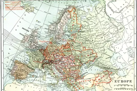
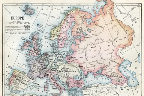
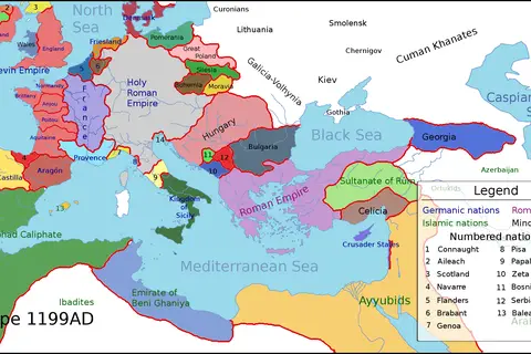
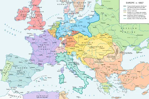
Europe Map 1919
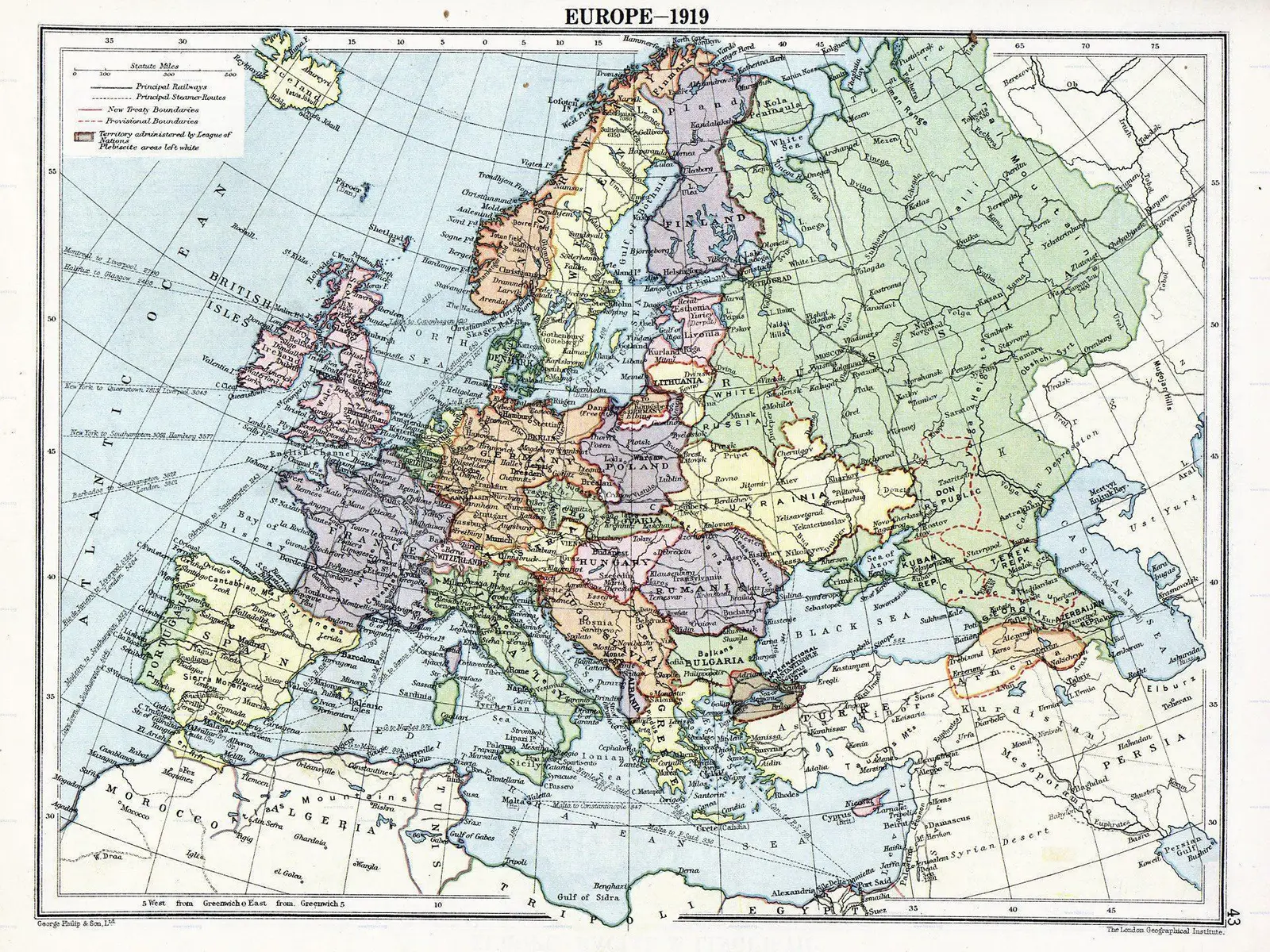
Click or tap the map to enlarge it.
Key Takeaways
- Europe Map 1919 represents the political landscape of Europe after World War I.
- This map signifies the significant changes that occurred in the continent’s borders and political structures.
- The aftermath of the Great War shaped the foundation for the Europe we know today.
- Exploring this map allows us to understand the historical context and dynamics of the time.
History of Europe Map 1919
The Europe Map 1919 showcases the political boundaries and territories of European countries immediately following the conclusion of World War I. This map is crucial in understanding the transformative effects of the war on the continent. The conflict resulted in the collapse of several empires, the redrawing of borders, and the birth of new nations.
World War I, which raged between 1914 and 1918, was one of the most devastating conflicts in human history. As the war drew to a close, the victorious Allied Powers convened a series of peace conferences to negotiate new boundaries and establish a lasting peace. The most notable of these conferences was the Treaty of Versailles, signed in 1919.
Unique Insights
- Europe Map 1919 unveils the disintegration of the Austro-Hungarian and Ottoman empires.
- New nations such as Czechoslovakia, Yugoslavia, and Poland emerged on the map as independent states.
- Germany faced territorial losses, and its colonies were redistributed among other nations.
- The map highlights the redrawing of boundaries in Eastern Europe, leading to new power dynamics and ethnic tensions.
- Russian territories went through significant changes due to the Russian Revolution and subsequent Civil War.
Table of Relevant Facts
| Date | Event |
|---|---|
| 1914-1918 | World War I |
| January 1919 | Paris Peace Conference |
| June 28, 1919 | Treaty of Versailles signed |
| 1920 | League of Nations established |
Frequently Asked Questions (FAQ)
1. Why is the Europe Map 1919 significant?
The Europe Map 1919 is significant as it reflects the aftermath of World War I and the political changes that occurred in Europe during that time. It helps us understand the origins of the current political landscape of the continent.
2. What were the major territorial changes depicted on the map?
The major territorial changes on the Europe Map 1919 include the dissolution of the Austro-Hungarian and Ottoman empires, the emergence of new nations such as Czechoslovakia and Poland, and the redrawing of boundaries in Eastern Europe.
3. How did World War I impact the boundaries of Germany?
Germany faced significant territorial losses, particularly in its eastern and western regions. Additionally, its overseas colonies were redistributed among other nations.
4. Which countries emerged as independent states after World War I?
Several countries attained independence after World War I, including Czechoslovakia, Yugoslavia, and Poland. These nations played crucial roles in shaping the geopolitical dynamics of Central and Eastern Europe.
5. How did the Europe Map 1919 contribute to ethnic tensions in Eastern Europe?
The redrawing of boundaries in Eastern Europe during the post-war era often resulted in transferring territories with mixed ethnic populations to new nations. This led to ethnic tensions and conflicts that persist to this day.
6. What role did the Treaty of Versailles play in shaping the map?
The Treaty of Versailles, signed in 1919, officially ended World War I. It imposed significant territorial changes on Germany and mandated reparations that had profound consequences for the country’s future.
7. How does the Europe Map 1919 relate to the League of Nations?
The Europe Map 1919 is closely connected to the establishment of the League of Nations in 1920. The political changes depicted on the map played a role in shaping the League’s membership and the geopolitical considerations of the time.