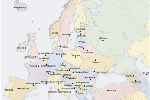
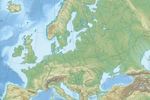
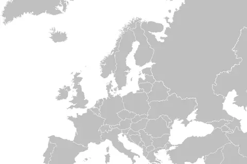
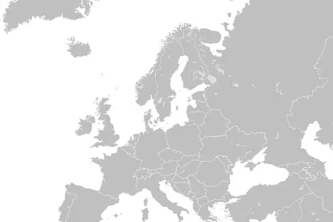
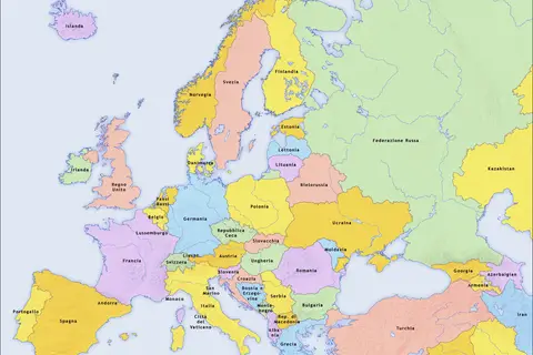
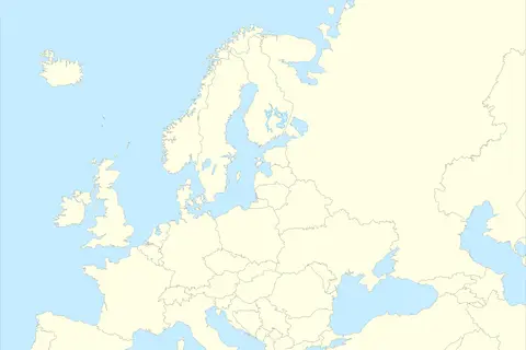
Europe Map
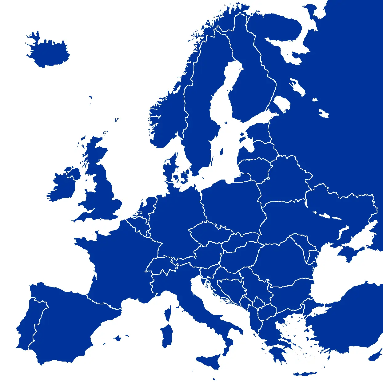
Click or tap the map to enlarge it.
Europe Map – A Comprehensive Guide
Key Takeaways
- Europe, a diverse continent, is home to many countries and regions.
- A map of Europe provides geographical insights and helps understand its political and cultural boundaries.
- Exploring Europe’s landscapes and destinations through a map can enhance travel experiences.
History
Europe, located entirely in the Northern Hemisphere, is the world’s second-smallest continent. It has a rich history that dates back thousands of years. From the rise and fall of great empires to significant historical events and cultural revolutions, Europe’s history has shaped the world we know today.
The cartographic representation of Europe has evolved over time. The first maps of Europe were created by ancient civilizations such as the Greeks and Romans. However, it was during the Age of Discovery, from the 15th to the 18th century, that accurate and detailed maps of Europe were produced. These maps played a crucial role in navigation, colonization, and trade during the European exploration and expansion across the world.
Unique Insights
A map of Europe not only shows the political boundaries of each country but also provides insights into the continent’s diverse geography and cultural heritage. Here are some unique insights that can be derived from studying a Europe map:
- Europe is home to a wide range of landscapes, including towering mountain ranges like the Alps and the Carpathians, vast plains such as the Hungarian Plain, and stunning coastlines along the Mediterranean Sea.
- The region has a mix of climates, ranging from the cold Arctic climate in the north to the mild Mediterranean climate in the south.
- Europe has a rich cultural heritage, with various ethnic groups, languages, and traditions coexisting within its borders.
- The map allows you to explore historical landmarks and famous sites, including architectural marvels like the Eiffel Tower in Paris, the Colosseum in Rome, and the Acropolis in Athens.
- Understanding the geography of Europe is crucial for comprehending the continent’s political dynamics, such as the European Union and its member states.
Table of Relevant Facts
| Year | Event |
|---|---|
| 476 AD | Fall of the Western Roman Empire |
| 1492 | Christopher Columbus discovers America |
| 1789 | French Revolution begins |
| 1957 | Treaty of Rome establishes the European Economic Community |
| 1989 | Fall of the Berlin Wall |
| 1999 | Euro currency introduced in some EU countries |
Frequently Asked Questions (FAQ)
1. How many countries are there in Europe?
There are 44 countries in Europe, including Russia, which spans both Europe and Asia.
2. What are some famous tourist destinations in Europe?
Europe is known for its iconic destinations such as Paris (France), Rome (Italy), Barcelona (Spain), and Athens (Greece), among others.
3. What are the major mountain ranges in Europe?
The major mountain ranges in Europe include the Alps, the Carpathians, the Pyrenees, and the Caucasus Mountains.
4. Is English widely spoken in Europe?
While English is not the primary language in most European countries, it is widely understood and spoken, especially in tourist areas and major cities.
5. How can a map of Europe enhance travel experiences?
A map of Europe can help travelers plan their itineraries, understand the distances between different destinations, and explore lesser-known regions and attractions.
6. What is the European Union?
The European Union (EU) is a political and economic union of 27 member states, primarily located in Europe.
7. Are Schengen Area countries the same as EU member states?
No, the Schengen Area and the European Union are not the same. While some countries are both Schengen and EU members, others are only part of one or the other.
External Links
LSI Keywords from the Article
- europe map
- geography of europe
- cultural heritage
- european union
- tourist destinations in europe
- major mountain ranges in europe
- fall of the berlin wall
- euro currency