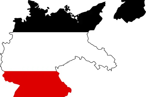
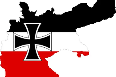
Flag Map of Germany 1939
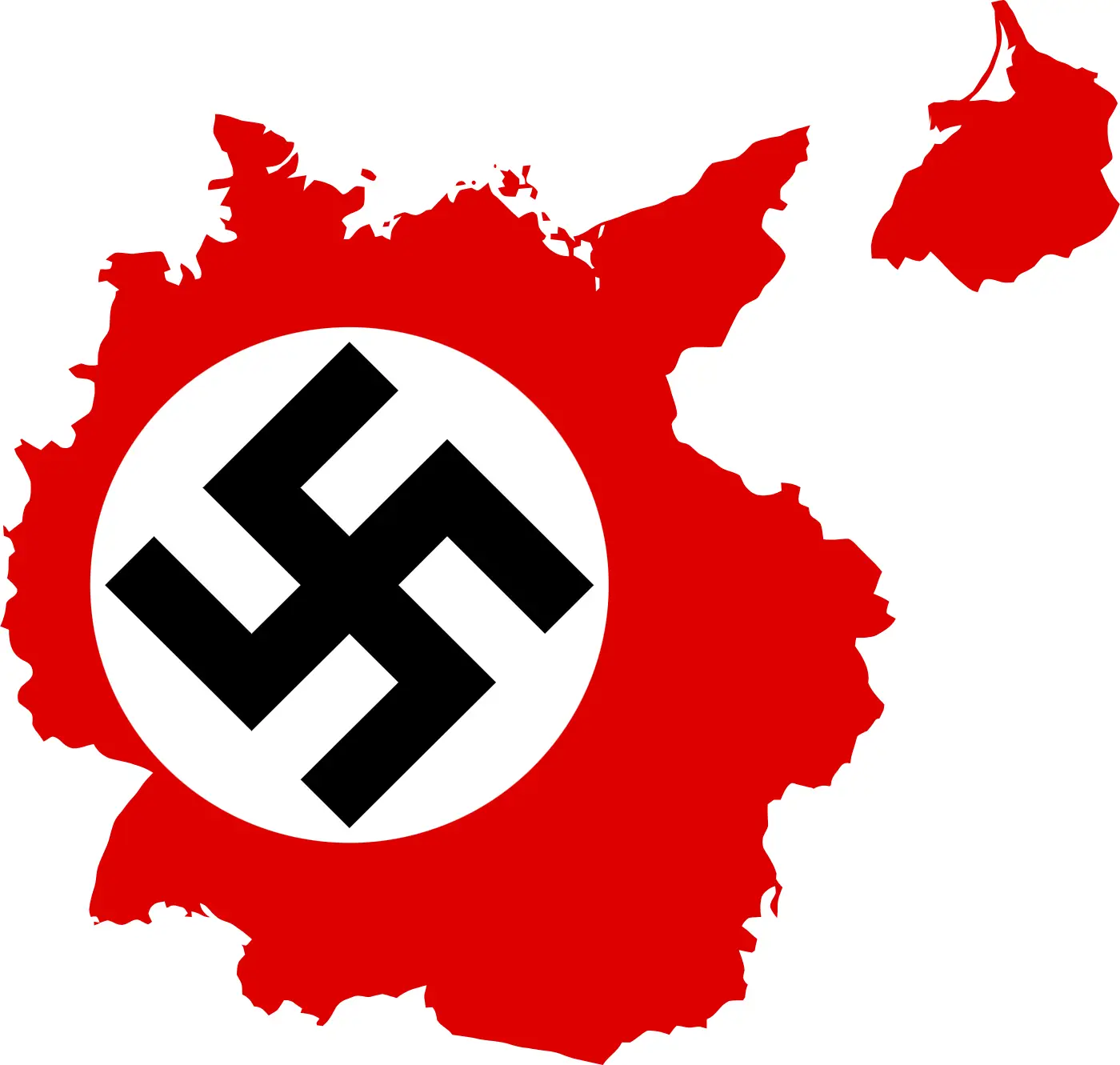
Click or tap the map to enlarge it.
Key Takeaways:
- Flag Map Of Germany 1939 displays the geopolitical boundaries of Germany during that time.
- It highlights the Nazi regime’s territorial control and expansion prior to World War II.
- This map is a significant historical artifact that represents a crucial period in German history.
History:
The Flag Map Of Germany 1939 is a representation of the political boundaries and territories controlled by Germany during the year 1939. This map displays the flag of Nazi Germany, which was marked by the infamous swastika symbol. It serves as a powerful visual representation of the geopolitical landscape leading up to World War II.
In 1939, Germany was under the control of Adolf Hitler and the Nazi regime. Hitler’s aggressive foreign policy and desire for territorial expansion led to the invasion of neighboring countries, ultimately triggering the outbreak of the Second World War.
The map showcases Germany’s boundaries prior to the war, including significant regions such as Bavaria, Prussia, Saxony, and others. It also highlights the annexation of Austria (Anschluss) and the occupation of Czechoslovakia, displaying the Nazi regime’s extensive influence in Europe during that period.
Unique Insights:
1. The Flag Map Of Germany 1939 reflects the peak of Nazi Germany’s territorial control, encompassing a vast portion of Europe.
2. It highlights the aggressive expansionist policies pursued by Adolf Hitler, aiming to restore Germany’s power and dominance.
3. The map displays the political and ideological influence of the Nazi regime, symbolized by the flag’s swastika.
4. The inclusion of Austria in the map represents the forced unification of Germany and Austria, contrary to the principles of self-determination.
Relevant Facts in 1939:
| Event | Description |
|---|---|
| Invasion of Poland | Germany invades Poland, marking the beginning of World War II. |
| Occupation of Czechoslovakia | German forces occupy Czechoslovakia, violating the Munich Agreement. |
| Molotov-Ribbentrop Pact | Germany and the Soviet Union sign a non-aggression pact, secretly agreeing to divide Eastern Europe. |
| Outbreak of World War II | Following the invasion of Poland, Britain and France declare war on Germany. |
Frequently Asked Questions:
-
1. Why is the Flag Map Of Germany 1939 significant?
The map provides insights into the territorial extent and ideological aspirations of Nazi Germany during the crucial years leading up to World War II.
-
2. What does the swastika symbolize in the map’s flag?
The swastika represents the Nazi regime, symbolizing their racial supremacy and the ideology of Aryan supremacy.
-
3. Is the map historically accurate?
Yes, the map is accurate in depicting Germany’s territorial control and boundaries in 1939.
-
4. How did Germany’s aggression contribute to the outbreak of World War II?
Germany’s aggressive invasions and expansionist policies, demonstrated by the map, violated international agreements and prompted a military response from other nations, leading to the global conflict.
-
5. Did Germany lose the territories shown on the map after World War II?
Yes, as a result of Germany’s defeat in World War II, the geopolitical boundaries and control drastically changed.
-
6. Can I purchase a physical copy of the Flag Map Of Germany 1939?
Physical copies of historical maps can often be found in specialty map stores, online marketplaces, or at local antique shops.
-
7. Are there similar maps available for other countries during that period?
Yes, there are maps available for other countries during the same period, highlighting their geopolitical boundaries and changes over time.