Flag Map of the First French Empire Areas of Influence
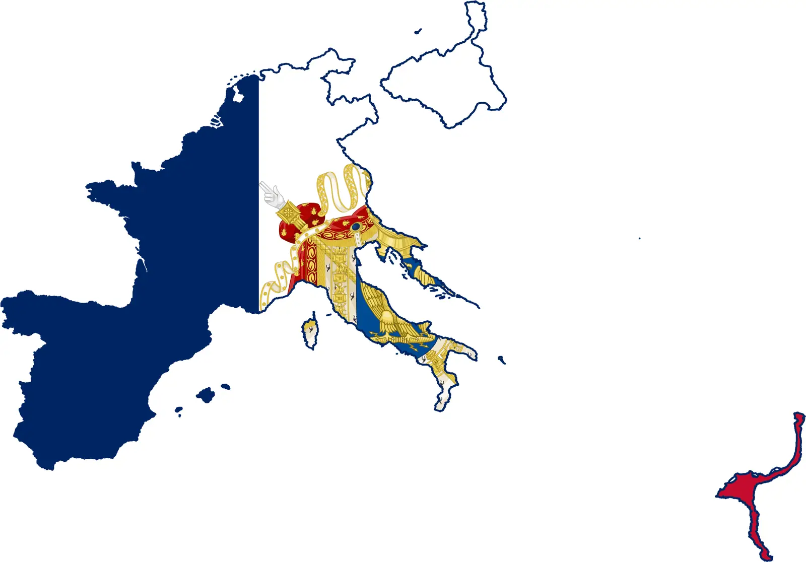
Click or tap the map to enlarge it.
Key Takeaways
- The map depicts the areas of influence of the First French Empire.
- It provides an overview of the territories controlled by France during the early 19th century.
- The First French Empire gained significant power under the leadership of Napoleon Bonaparte.
- The map showcases the impact and extensive reach of the empire during its peak.
History
The First French Empire, led by Napoleon Bonaparte, was established in 1804 and lasted until 1814. It emerged as a dominant political and military force in Europe during the early 19th century. The empire expanded its influence through a series of conquests and treaties, eventually controlling vast territories across Europe.
Unique Insights
- The First French Empire reached its peak in terms of territorial control in 1812.
- Napoleon’s military strategies and political alliances played a crucial role in expanding the empire’s influence.
- The map showcases the diverse territories and cultures brought under French control during this period.
- The empire’s influence extended beyond mainland Europe, including colonies and satellite states.
Table of Relevant Facts
| Year | Event |
|---|---|
| 1804 | Establishment of the First French Empire under Napoleon Bonaparte’s rule. |
| 1805 | French victory at the Battle of Austerlitz, expanding the empire’s influence in Central Europe. |
| 1812 | Peak of territorial control for the First French Empire. |
| 1814 | Defeat of Napoleon and the fall of the empire. |
FAQ about the First French Empire’s Areas of Influence
-
What was the First French Empire?
The First French Empire refers to the political and military establishment led by Napoleon Bonaparte. It lasted from 1804 to 1814 and expanded its control over various territories in Europe.
-
Which countries were part of the First French Empire?
The First French Empire consisted of mainland France and numerous territories it conquered or exerted influence upon. Some of the major countries included France, Italy, Spain, parts of Germany, and the Netherlands.
-
What caused the decline of the empire?
The empire faced significant military defeats, particularly the failed invasion of Russia in 1812. The Sixth Coalition, formed by various European powers, continued to resist French expansion, leading to the eventual fall of the empire in 1814.
-
What were the effects of the First French Empire?
The empire contributed to political and social reforms in the territories it controlled. It spread the ideals of the French Revolution and introduced various legal and administrative reforms that influenced later European governments.
-
Did the First French Empire have colonies?
Yes, the empire had colonies and overseas territories. Some of the notable colonies included Saint-Domingue (now Haiti) and various islands in the Caribbean and Indian Ocean.
-
What was Napoleon’s role in the empire’s expansion?
Napoleon Bonaparte was the mastermind behind the empire’s expansion. His military genius, political alliances, and ambition played a pivotal role in consolidating French power across Europe.
-
How did the First French Empire impact Europe?
The empire significantly disrupted the European balance of power. It brought about territorial changes, influenced various cultural and intellectual movements, and sparked nationalist sentiments in regions under French control.