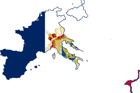
Map of the Gallic Empire 260 Ad
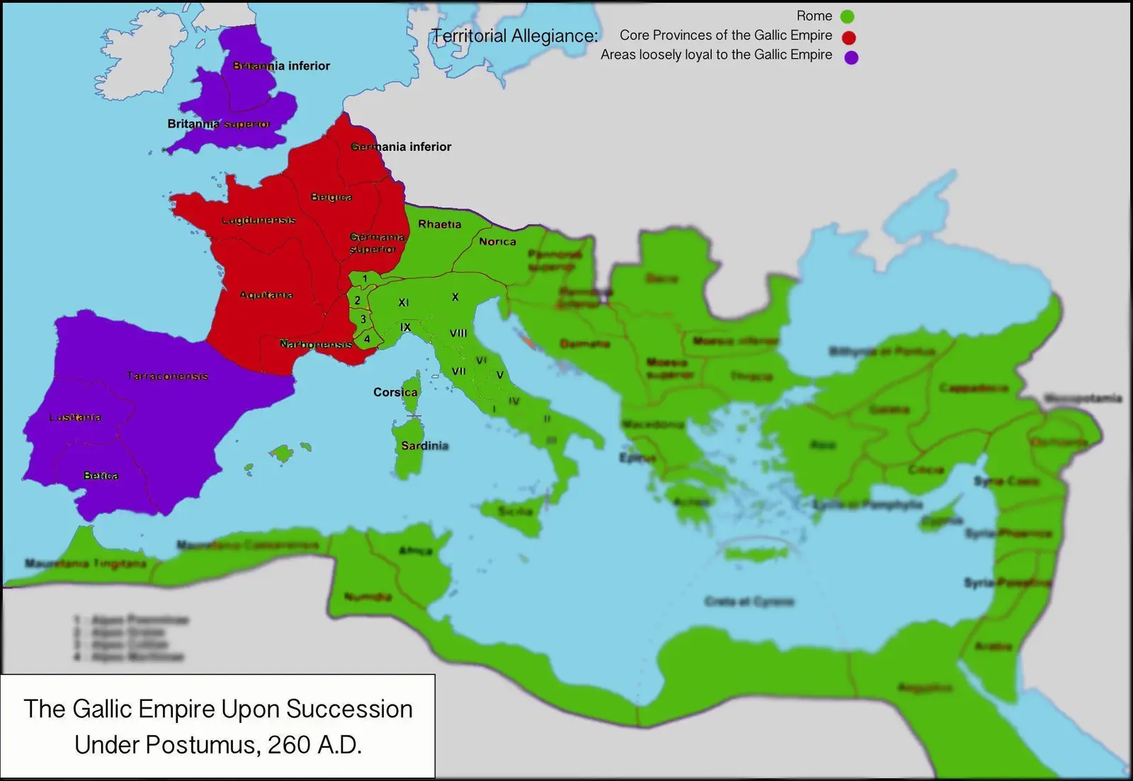
Click or tap the map to enlarge it.
Map Of The Gallic Empire 260 AD – A Detailed Guide
Key Takeaways
- The Map of the Gallic Empire in 260 AD displays the territories controlled by the breakaway Gallic Empire during the Crisis of the Third Century.
- This map highlights the vast area encompassed by the Gallic Empire, stretching from modern-day France to parts of Germany, Switzerland, and Italy.
- Understanding the Gallic Empire and its geographical boundaries is crucial for comprehending the political divisions and power shifts of the time.
- The Gallic Empire existed for a relatively short period, from 260 AD to 274 AD, before being reunited with the Roman Empire.
History
The Gallic Empire, often referred to as the Gallic Roman Empire, was a breakaway state that existed during the Crisis of the Third Century in the Roman Empire. The empire was established by the Gallic general Postumus after the assassination of Emperor Gallienus in 260 AD.
The territory of the Gallic Empire spanned over modern-day France, parts of Germany, Switzerland, and Italy. It acted as a political and military counterbalance to the Roman Empire during a period characterized by frequent invasions, civil wars, and economic turmoil.
The Gallic Empire successfully defended its borders against outside threats and even launched successful military campaigns against the Roman Empire. However, internal instability and rivalries eventually weakened the Gallic Empire, leading to its reunification with the Roman Empire in 274 AD under the reign of Emperor Aurelian.
Unique Insights
The Map of the Gallic Empire in 260 AD provides several unique insights into the political landscape of that time. Some of the key insights include:
- The Gallic Empire controlled a significant portion of Gaul, with its capital at Colonia Claudia Ara Agrippinensium (modern-day Cologne).
- It had well-defined borders, defending its frontiers against Germanic tribes and the Roman Empire.
- Despite being considered a breakaway empire, the administration and institutions of the Gallic Empire closely resembled those of the Roman Empire.
- The prosperity of the Gallic Empire was linked to its ability to maintain stability and defend against external threats.
Table of Relevant Facts
| Year | Event |
|---|---|
| 260 AD | Establishment of the Gallic Empire by Postumus |
| 271 AD | Victorious Gallic campaigns against Germanic tribes |
| 274 AD | Reunification of the Gallic Empire with the Roman Empire under Aurelian |
Frequently Asked Questions (FAQ)
1. How long did the Gallic Empire exist?
The Gallic Empire existed from 260 AD to 274 AD.
2. Who established the Gallic Empire?
The Gallic Empire was established by the Gallic general Postumus.
3. What territories did the Gallic Empire control?
The Gallic Empire controlled modern-day France, parts of Germany, Switzerland, and Italy.
4. What was the capital of the Gallic Empire?
The capital of the Gallic Empire was Colonia Claudia Ara Agrippinensium (modern-day Cologne).
5. How did the Gallic Empire end?
The Gallic Empire was reunited with the Roman Empire in 274 AD under Emperor Aurelian.
6. Did the Gallic Empire face any external threats?
Yes, the Gallic Empire successfully defended its borders against Germanic tribes and the Roman Empire.
7. What impact did the Gallic Empire have on the Roman Empire?
The Gallic Empire served as a political and military counterbalance to the Roman Empire during the Crisis of the Third Century.