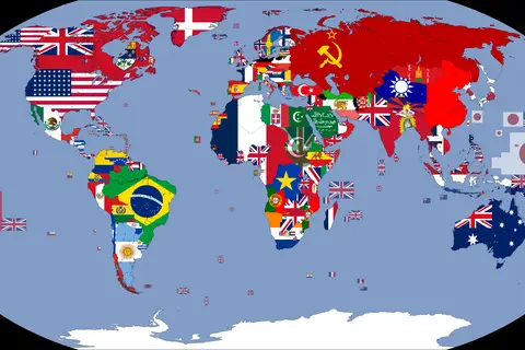
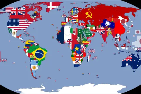
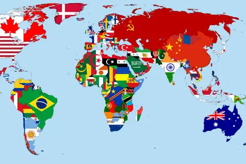
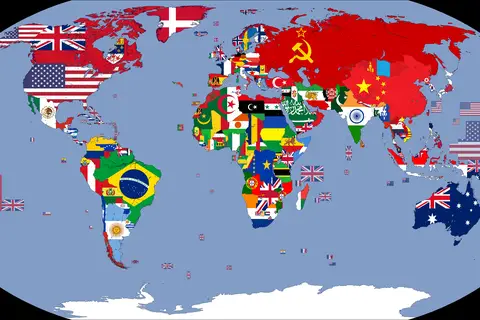
Flag Map of the World 1938
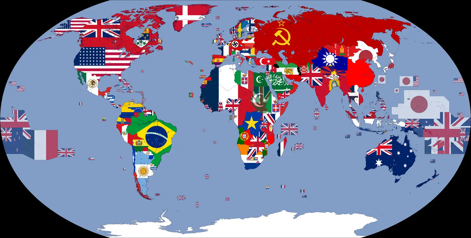
Click or tap the map to enlarge it.
Flag Map Of The World 1938 – A Cartographer’s Guide
Key Takeaways
- The Flag Map of the World 1938 provides a unique visual representation of the flags of various nations during that time period.
- Cartographers can use this map to study the political landscape, historical events, and cultural identities of countries in 1938.
- This map offers valuable insights into the geopolitical situation of the world during that particular year.
- Flags are powerful symbols that can help us understand a nation’s history, values, and aspirations.
- Studying flag maps is a fascinating way to explore the richness and diversity of our global community.
History
The Flag Map of the World 1938 is a unique representation of the international community during that period. It showcases the flags of various nations, capturing the spirit of the time through the prominent symbols that each country chose to represent itself.
1938 was a significant year in history, marked by political tensions, prelude to World War II, and cultural exchange. This map serves as a valuable record of the geopolitical landscape, shedding light on the relationships between nations and the ideologies that shaped their identities.
Unique Insights
- The Flag Map of the World 1938 highlights the rise and fall of several empires and territories, reflecting the changing power dynamics of the time.
- The flags depicted in the map showcase various design elements, colors, and symbols that were significant to the nations at that period.
- By studying this map, one can gain insights into the altercations, animosities, and alliances between different countries during the lead-up to World War II.
- The Flag Map of the World 1938 also provides a glimpse into the evolution of flags, as some nations have since updated or changed their symbols.
Table of Relevant Facts – 1938
| Event | Date | Significance |
|---|---|---|
| Munich Agreement | September 30, 1938 | Signed by Germany, Italy, France, and the United Kingdom, it allowed Nazi Germany to annex portions of Czechoslovakia, escalating tensions in Europe. |
| Anschluss | March 12, 1938 | Germany annexed Austria, unifying the two nations and further strengthening Nazi control in Central Europe. |
| Kristallnacht | November 9-10, 1938 | A pogrom against Jews took place in Nazi Germany, resulting in the destruction of synagogues, businesses, and the death and arrest of numerous Jewish individuals. |
Frequently Asked Questions (FAQ)
1. What is a flag map?
A flag map is a cartographic representation that uses national flags to indicate the boundaries and locations of countries and territories.
2. What is the significance of studying flag maps?
Studying flag maps helps us understand historical and cultural aspects of nations, their political relationships, and the evolution of symbols over time.
3. Why is the Flag Map of the World 1938 important?
It provides a snapshot of the political climate before World War II, reflecting the complex dynamics between countries at that time.
4. How can cartographers use the Flag Map of the World 1938?
Cartographers can analyze the map to understand the geographical distribution of flags and their symbolic representations, aiding in geopolitical and historical research.
5. Are the flags depicted on the map historically accurate?
The flags on the map are accurate representations of those used in 1938. However, it’s important to note that some flags may have undergone changes over the years.
6. Can this map be useful for educational purposes?
Absolutely! The Flag Map of the World 1938 can be a valuable educational tool to teach students about the history, geography, and cultural diversity of nations during that time.
7. Where can I find more historical maps?
You can find more historical maps in libraries, museums, or through online resources specializing in cartography and historical archives.