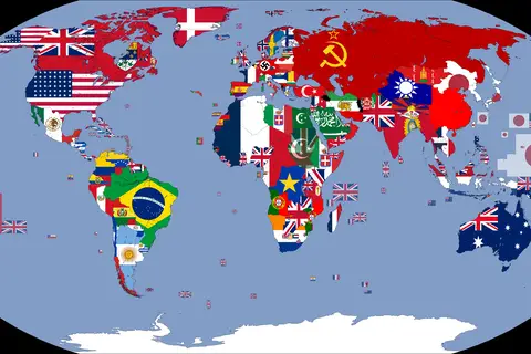
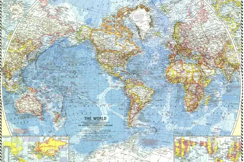
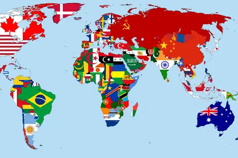
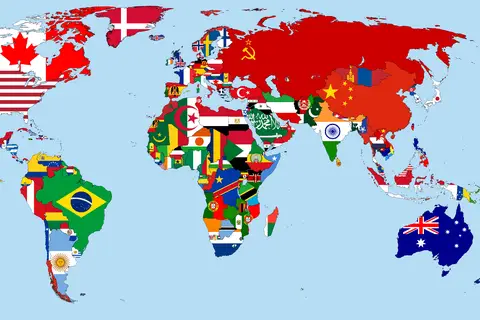
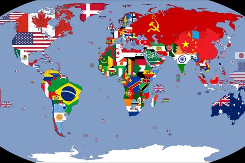
Flag Map of the World 1962
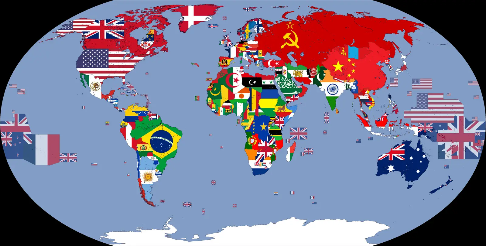
Click or tap the map to enlarge it.
Key Takeaways
- The Flag Map of the World 1962 showcases the flags of different countries as a way to represent their geographical locations.
- It provides a unique visual representation of the world’s nations and their flags during the year 1962.
- The Flag Map of the World 1962 is a valuable resource for historians, cartographers, and flag enthusiasts.
- This map serves as a reminder of the historical changes in national flags over time.
History
The Flag Map of the World 1962, as the name suggests, represents the geographical positions of countries on the world map along with their respective national flags as they appeared in 1962. This map is a fascinating reflection of the global political landscape during that era.
Unique Insights
By examining the Flag Map of the World 1962, several unique insights can be gained:
- The number of countries represented on the map is significantly lower than what we see today, as many nations have gained independence or changed their flags since 1962.
- The map showcases the flags of countries that existed during the Cold War period, providing a visual representation of the alignment of nations during that time.
- Some flags have evolved since then, with changes in design, colors, or symbolism. The map allows us to observe these changes.
- The map serves as a historical reference, helping us understand the political climate of the early 1960s and the events that unfolded during that time.
- Flag enthusiasts can use this map to study the development of national flags and the significance behind their designs.
Table of Relevant Facts
| Event | Date |
|---|---|
| Cuban Missile Crisis | October 16-28, 1962 |
| Algerian War of Independence | November 1, 1954 – March 18, 1962 |
| Independence of Uganda | October 9, 1962 |
| Signing of the Partial Nuclear Test Ban Treaty | October 10, 1963 |
| Angolan War of Independence | February 4, 1961 – November 11, 1975 |
Frequently Asked Questions (FAQ)
1. What is the significance of the Flag Map of the World 1962?
The Flag Map of the World 1962 serves as a historical document, representing the flags of different countries during that time. It provides valuable insights into the political landscape of the era and the changes in national flags over time.
2. How many countries are represented on the Flag Map of the World 1962?
As per the map, there are approximately 140 countries represented, keeping in mind the political boundaries prevalent in 1962.
3. Have any countries changed their flags since 1962?
Yes, many countries have changed their flags due to various reasons such as political transformations, regime changes, or national identity transitions. The Flag Map of the World 1962 does not reflect these changes.
4. How can the Flag Map of the World 1962 be used for educational purposes?
Teachers and students can utilize this map to study the geographical locations of countries and their flags during the early 1960s. It can also spark discussions about historical events and geopolitical transformations.
5. Can the Flag Map of the World 1962 be purchased in physical format?
While physical copies of the original map might be hard to find, digital representations and reproductions may be available for purchase online or in specialized map stores.
6. Are there any online resources to explore more about the flags of the world?
Yes, several websites offer detailed information about national flags, their symbolism, and historical changes. Some popular resources include the Flag Institute, World Flags Database, and CIA World Factbook.
7. How can I contribute to the preservation of historical maps like the Flag Map of the World 1962?
You can contribute by supporting map archives, museums, and libraries that specialize in cartography. Donations or volunteering can help in digitizing and safeguarding valuable map collections for future generations.