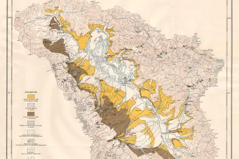
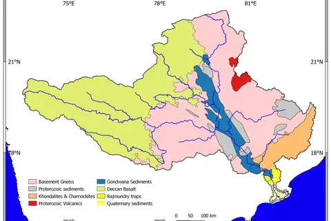
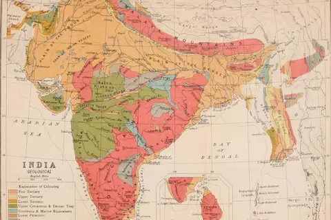
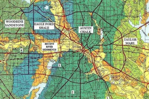
Geologic Map of Georgia
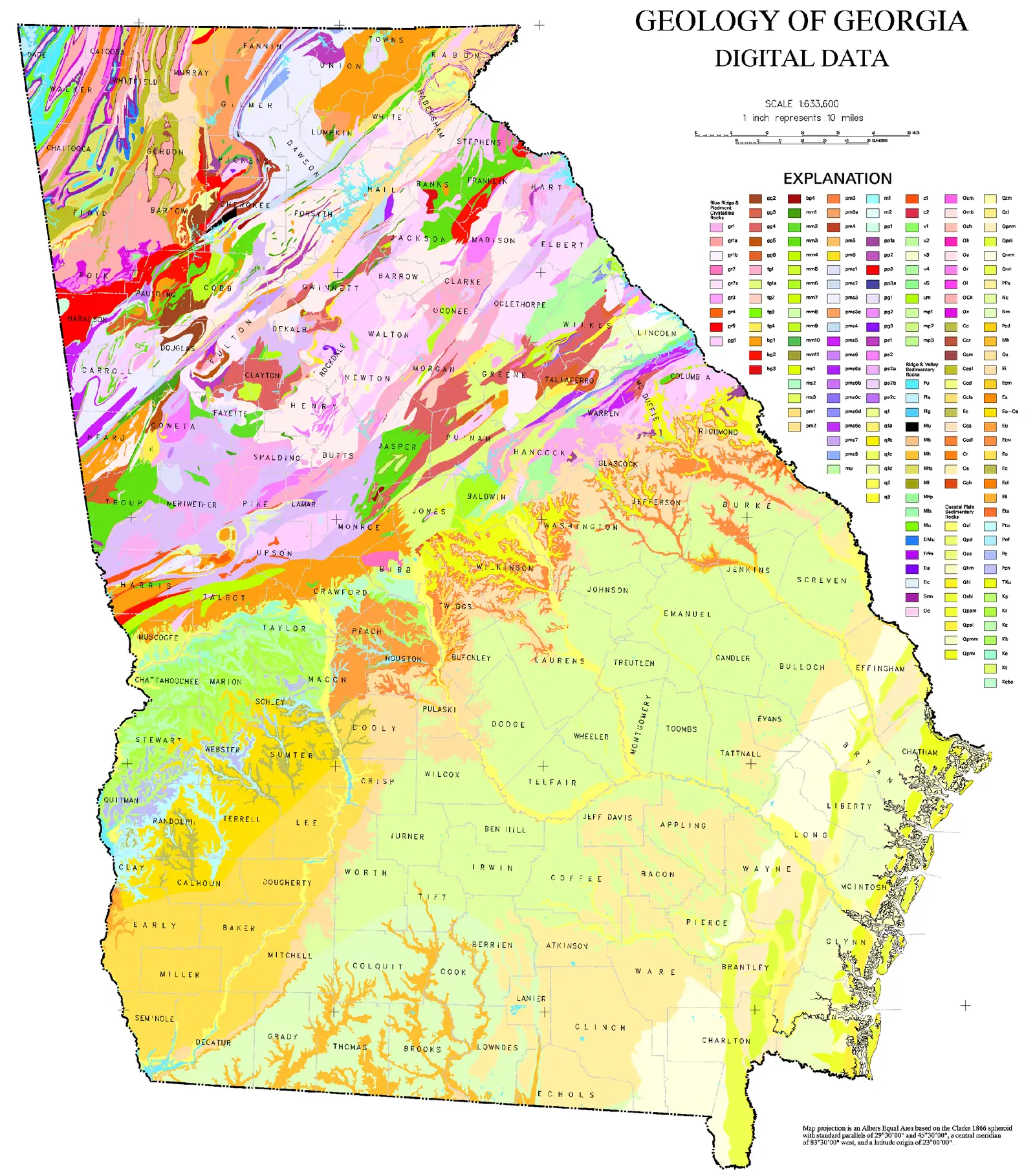
Click or tap the map to enlarge it.
Key Takeaways
- Understanding the geology of Georgia is crucial for various industries, including mining, engineering, and environmental planning.
- The Geologic Map of Georgia provides valuable information about the state’s underlying rocks, minerals, and geological features.
- Developed over several years, the map is a comprehensive representation of Georgia’s geological history.
- Studying the map can aid in resource exploration, hazard assessment, and land-use planning.
History
The Geologic Map of Georgia is a significant contribution to the field of geology in the state. The map was compiled by the Georgia Geological Survey (GGS) in collaboration with several geologists and researchers.
The project began in the early 20th century when geologists recognized the need for a comprehensive geological map of Georgia. Over the years, field surveys, laboratory analyses, and advancements in technology helped in collecting and analyzing data.
The first edition of the map, published in 1972, covered a large part of the state, providing important geological information to professionals and researchers. Since then, the map has undergone several revisions and updates to enhance accuracy and include new findings.
Today, the Geologic Map of Georgia is a vital tool used by various industries, government agencies, and educational institutions.
Unique Insights
The Geologic Map of Georgia offers numerous unique insights into the state’s geological composition. Here are a few highlights:
Rock Types
Georgia’s geology comprises a diverse range of rock types, including igneous, sedimentary, and metamorphic rocks. The map allows us to identify and locate these rocks, aiding in geological research and resource exploration.
Fault Lines
The map showcases the faults and fault zones present in Georgia. Fault lines are areas where tectonic plates have moved or slid against each other, leading to geological activity such as earthquakes. Understanding the location of fault lines is crucial for assessing seismic hazards in the state.
Mineral Deposits
The Geologic Map of Georgia reveals the distribution of mineral deposits throughout the state. It serves as a valuable resource for mining companies and geologists exploring potential mineral resources in the region.
Coastal Plain
One of the unique features highlighted on the map is the Coastal Plain, which covers a significant portion of southern Georgia. The Coastal Plain consists of sedimentary deposits, including sands, clays, and limestone. This region plays a crucial role in groundwater resources and coastal ecosystem dynamics.
Table of Facts
| Year | Event |
|---|---|
| 1823 | First geological survey conducted in Georgia by William Bowen |
| 1872 | Creation of the Georgia Geological Survey |
| 1972 | Publication of the first edition of the Geologic Map of Georgia |
| 1999 | Significant update to the map, incorporating new data and findings |
| 2020 | Latest edition of the map released, utilizing advanced geological mapping techniques |
Frequently Asked Questions (FAQ)
-
What is the significance of the Geologic Map of Georgia?
The Geologic Map of Georgia is significant because it provides crucial information about the state’s geological composition, which is useful for various industries and land-use planning.
-
Who uses the Geologic Map of Georgia?
The map is used by geologists, mining companies, engineering firms, environmental planners, academic researchers, and government agencies.
-
How often is the map updated?
The map undergoes periodic updates to incorporate new findings and enhance accuracy. The latest edition was released in 2020.
-
Can the map be accessed online?
Yes, the Geologic Map of Georgia can be accessed online through the website of the Georgia Geological Survey.
-
Are there any specific geological hazards depicted on the map?
Yes, the map identifies fault lines and fault zones, aiding in the assessment of seismic hazards. It also helps in understanding potential risks associated with landslides and sinkholes.
-
Does the map include information about groundwater resources?
Yes, the map provides valuable information about the location and characteristics of aquifers and groundwater resources in Georgia.
-
How can the map be utilized for resource exploration?
The map helps identify potential mineral deposits and supports exploration efforts by mining companies and geologists.