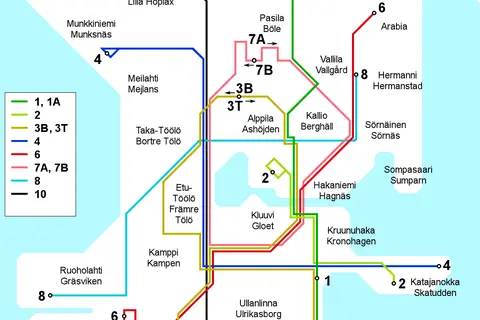
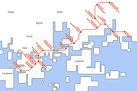
Helsinki Tram Map
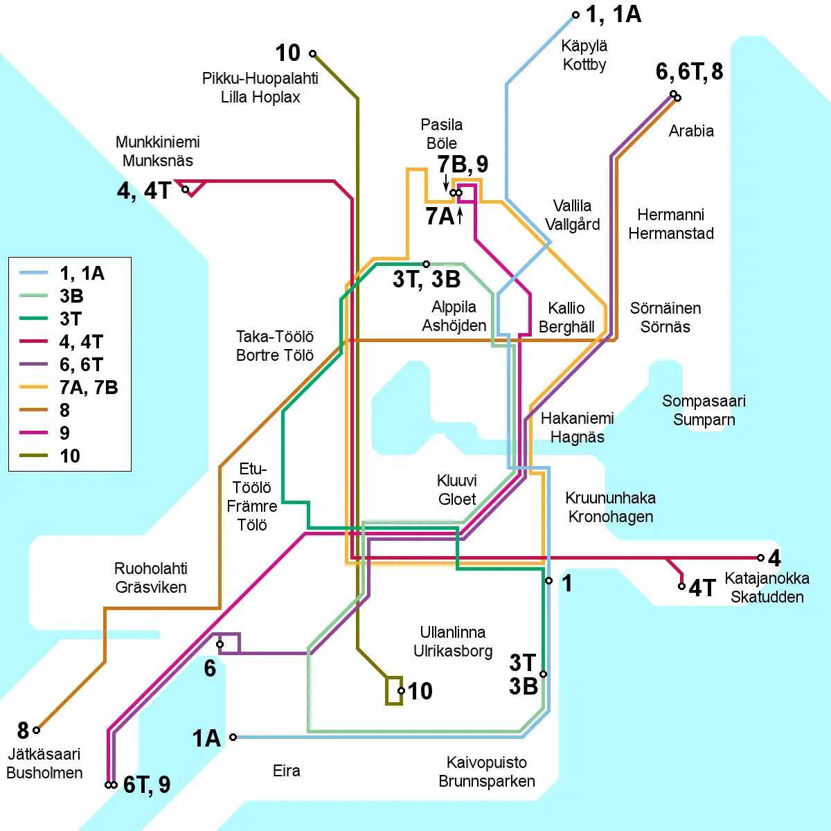
Click or tap the map to enlarge it.
Helsinki Tram Map – A Comprehensive Guide
Key Takeaways
- The Helsinki Tram Map provides convenient and reliable transportation options in the city.
- With an extensive network of tram lines, exploring Helsinki becomes effortless and enjoyable.
- The tram system connects major attractions, neighborhoods, and important transportation hubs.
- Using the Helsinki Tram Map allows you to efficiently plan your journey and make the most of your time in the city.
History of the Helsinki Tram Map
The Helsinki Tram Map traces its roots back to the late 19th century when Helsinki’s first horse-drawn trams appeared. Over time, the horse-drawn trams were replaced by electric trams, making the transportation system more efficient and reliable.
Today, Helsinki boasts an extensive tram system that covers various parts of the city. The development of the tram map has been an ongoing process, with new lines being added and existing ones updated to better serve the growing urban population.
Unique Insights
One unique aspect of the Helsinki Tram Map is its integration with other modes of public transportation, such as buses, trains, and ferries. This integration ensures seamless connectivity between different parts of the city.
The tram network covers both the city center and its surrounding neighborhoods, allowing residents and visitors to easily access important landmarks, museums, shopping areas, and residential districts. It offers a convenient way to explore Helsinki’s cultural heritage and natural beauty.
Table of Relevant Facts
| Year | Significant Event |
|---|---|
| 1891 | Introduction of horse-drawn trams in Helsinki |
| 1900 | First electric tram line established |
| 1969 | The Helsinki Tram Map expands to include new routes |
| 2020 | Introduction of modern and eco-friendly tram models |
Frequently Asked Questions (FAQ)
-
How can I obtain a copy of the Helsinki Tram Map?
You can find the Helsinki Tram Map at any major transportation hub, tourist information center, or online on the official website of Helsinki’s public transportation authority.
-
Are the trams in Helsinki wheelchair accessible?
Yes, the trams in Helsinki are equipped with wheelchair ramps, making them accessible for people with mobility challenges.
-
Is it possible to buy tickets onboard the trams?
No, you cannot buy tickets onboard the trams. However, you can purchase tickets from ticket vending machines at tram stops, via mobile apps, or from authorized retailers.
-
How often do the trams run in Helsinki?
The tram frequency varies depending on the line and time of day. Generally, trams run every 5 to 10 minutes during peak hours and every 10 to 15 minutes during off-peak hours.
-
Can I use the same ticket for multiple tram journeys?
Yes, you can use the same ticket for multiple tram journeys within the specified validity period. However, you need to validate your ticket before each journey.
-
Are there any discounts available for frequent tram travelers?
Yes, Helsinki offers various travel cards and passes that provide cost-effective options for frequent tram travelers. These include the Helsinki Card, daily tickets, and season tickets.
-
Is the Helsinki Tram Map available in multiple languages?
Yes, the Helsinki Tram Map is available in English, Finnish, and other commonly spoken languages to cater to the needs of international travelers.
External Links
- Official Website of Helsinki’s Public Transportation Authority
- Visit Helsinki – Official Travel and Tourism Guide
- Trams in Helsinki – Wikipedia
List of LSI Keywords
- Helsinki tram routes
- Tram lines in Helsinki
- Helsinki public transportation
- Helsinki tourist attractions
- Helsinki city center trams
- Helsinki tram tickets
- Helsinki tram timetable
- Tram connections in Helsinki