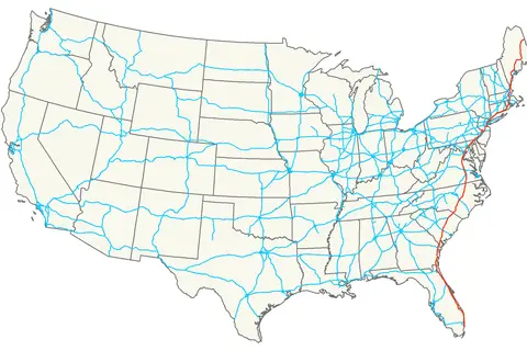
Interstate 75 Map
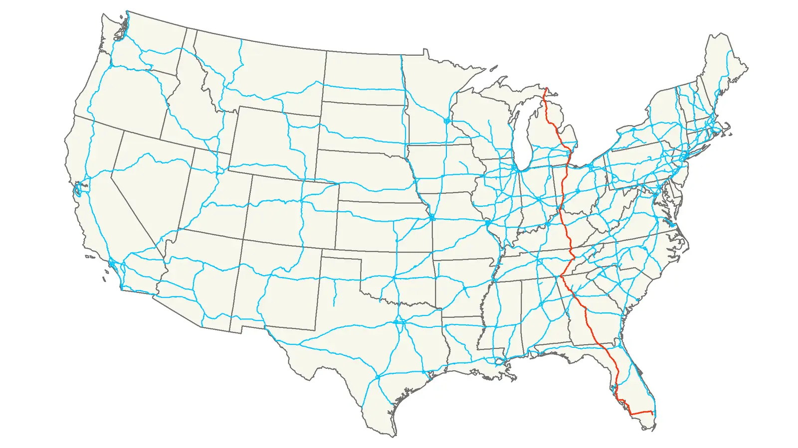
Click or tap the map to enlarge it.
Interstate 75 Map – The Ultimate Guide
Key Takeaways
- Interstate 75 is a major highway that stretches across multiple states in the United States.
- It is an important route for both interstate commerce and tourism, connecting several major cities and popular destinations.
- The construction of Interstate 75 started in the 1950s and was completed in various phases over the years.
- This highway offers travelers a convenient and efficient way to explore the diverse landscapes and attractions of the United States.
History of Interstate 75
Interstate 75, also known as I-75, is a prominent north-south highway that covers a distance of approximately 1,786 miles. The construction of this multi-state highway began in the late 1950s as part of the Federal-Aid Highway Act signed by President Dwight D. Eisenhower.
Since its inception, Interstate 75 has gone through various expansions and improvements to meet the growing traffic demands. Over the years, different sections of the highway were completed, connecting major cities and states across the eastern part of the United States. The final sections were completed in the 1980s, establishing a continuous route.
Interstate 75 passes through a total of six states: Florida, Georgia, Tennessee, Kentucky, Ohio, and Michigan. It connects major cities such as Miami, Atlanta, Cincinnati, and Detroit, opening up opportunities for commerce, trade, and tourism.
Unique Insights
Interstate 75 offers travelers a unique insight into the diverse landscapes and attractions of the United States. Here are some notable features and highlights along the route:
- Everglades National Park: In Florida, Interstate 75 is located near the Everglades National Park, a UNESCO World Heritage Site renowned for its unique ecosystems and wildlife.
- Atlanta, Georgia: The highway passes through Atlanta, a vibrant city known for its rich history, cultural diversity, and thriving arts scene.
- Great Smoky Mountains: Interstate 75 provides access to the Great Smoky Mountains in Tennessee, one of the most visited national parks in the United States.
- Bluegrass Region: In Kentucky, travelers can explore the picturesque Bluegrass Region, known for its horse breeding farms and stunning landscapes.
- Rock and Roll Hall of Fame: In Ohio, Interstate 75 leads to Cleveland, home to the Rock and Roll Hall of Fame, honoring legendary musicians.
- Pure Michigan: The highway reaches its northern terminus in Michigan, where travelers can explore scenic locations such as Mackinac Island and the stunning beaches of Lake Michigan.
Table of Relevant Facts
| Year | Event |
|---|---|
| 1957 | Construction of Interstate 75 begins |
| 1986 | Final sections of Interstate 75 completed |
| Florida | Interstate 75 is known as Alligator Alley |
| Michigan | Interstate 75 is known as the Detroit Industrial Freeway |
Frequently Asked Questions (FAQ)
1. What states does Interstate 75 pass through?
Interstate 75 passes through the following states: Florida, Georgia, Tennessee, Kentucky, Ohio, and Michigan.
2. What are some popular attractions along Interstate 75?
Some popular attractions along Interstate 75 include Everglades National Park in Florida, Atlanta in Georgia, Great Smoky Mountains in Tennessee, Bluegrass Region in Kentucky, and the Rock and Roll Hall of Fame in Ohio.
3. How long is Interstate 75?
Interstate 75 spans approximately 1,786 miles from its southern terminus in Florida to its northern terminus in Michigan.
4. Are there any tolls on Interstate 75?
While some sections of the highway may have tolls, many parts of Interstate 75 are toll-free. Check the specific states and regions for any toll information.
5. Can I travel the entire length of Interstate 75 without any interruptions?
Yes, you can travel the entire length of Interstate 75 without any major interruptions, as it is a continuous highway.
6. What is the best time of year to travel on Interstate 75?
The best time to travel on Interstate 75 depends on personal preferences and the regions you plan to visit. Consider the weather and the specific events or attractions you wish to experience along the way.
7. Are there any RV-friendly stops along Interstate 75?
Yes, there are several RV-friendly stops along Interstate 75. Rest areas, campgrounds, and RV parks are available in various locations along the route.