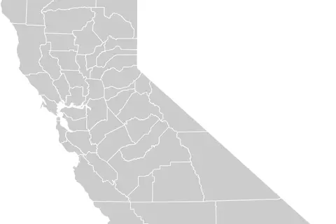
Map of California Highlighting Orange County
Key Takeaways
- Orange County is located in California, USA.
- This map highlights the geographical boundaries of Orange County.
- Orange County is known for its beautiful beaches and thriving tourism industry.
- The county is home to several famous attractions and landmarks.
- Orange County offers a diverse range of recreational activities and cultural experiences.
History
Orange County, California was formally established in 1889. However, its history dates back much further. The area was originally inhabited by indigenous peoples for thousands of years before the arrival of Spanish explorers in the 16th century.
The county’s name is derived from the abundant orange groves that once covered the region. These citrus farms became a major economic driver in the early 20th century, and Orange County quickly developed into a prosperous agricultural area.
In the post-World War II era, the county experienced significant growth and urbanization. Its proximity to major cities like Los Angeles and San Diego attracted businesses and residents alike. Today, Orange County is a vibrant and dynamic part of Southern California.
Unique Insights
Orange County is known for its perfect blend of stunning coastline, picturesque landscapes, and modern cities. Here are some unique insights about the county:
1. Beaches and Outdoor Activities
Orange County is famous for its beautiful beaches, making it a popular destination for surfers, sunbathers, and beach enthusiasts. Huntington Beach, Newport Beach, and Laguna Beach are just a few of the renowned coastal spots.
2. Disneyland Resort
The Disneyland Resort, located in Anaheim, is one of the top tourist attractions in Orange County. This iconic theme park offers a magical experience for visitors of all ages.
3. The Great Park
Spanning over 1,300 acres, The Great Park in Irvine is a unique recreational area that showcases beautiful landscapes, sports facilities, and even a tethered balloon ride providing panoramic views of the county.
4. Mission San Juan Capistrano
One of the oldest buildings in California, Mission San Juan Capistrano, is a historic Spanish mission located in San Juan Capistrano. It serves as a popular tourist destination and offers insights into the region’s colonial past.
5. Cultural Diversity
Orange County is known for its diverse population and rich cultural heritage. Visitors can explore vibrant communities and enjoy diverse cuisines, festivals, and art events representing various cultures.
Table of Relevant Facts
| Year | Event |
|---|---|
| 1776 | Spanish explorers arrive in the region. |
| 1889 | Orange County is formally established. |
| 1940s | Rapid urbanization and population growth. |
| 1955 | Disneyland opens its doors. |
| 2007 | The Great Park in Irvine is opened. |
Frequently Asked Questions (FAQ)
1. What is Orange County known for?
Orange County is known for its beautiful beaches, Disneyland Resort, and diverse cultural experiences.
2. How far is Orange County from Los Angeles?
Orange County is approximately 35 miles southeast of Los Angeles.
3. What are some popular attractions in Orange County?
Popular attractions in Orange County include Disneyland, Huntington Beach, Mission San Juan Capistrano, and The Great Park.
4. Can you surf in Orange County?
Absolutely! Orange County offers excellent surfing conditions, and there are several renowned surf spots along the coast.
5. Is Orange County a good place to raise a family?
Yes, Orange County offers a high standard of living, excellent schools, and a wide range of family-friendly activities.
6. How can I travel around Orange County?
Orange County has a well-developed transportation system. You can travel by car, bus, or take advantage of the various train services available.
7. What is the best time to visit Orange County?
Orange County enjoys a mild climate, making it suitable for visiting year-round. However, the summer months are particularly popular for beach activities.