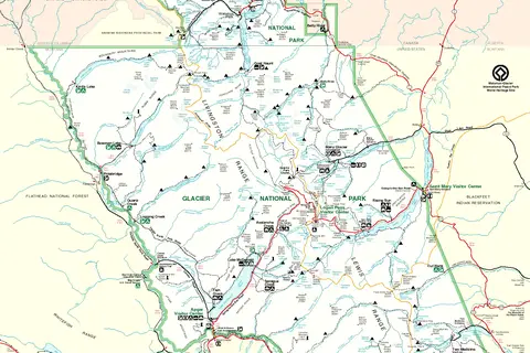
Map of Glaskogen Nature Reserve
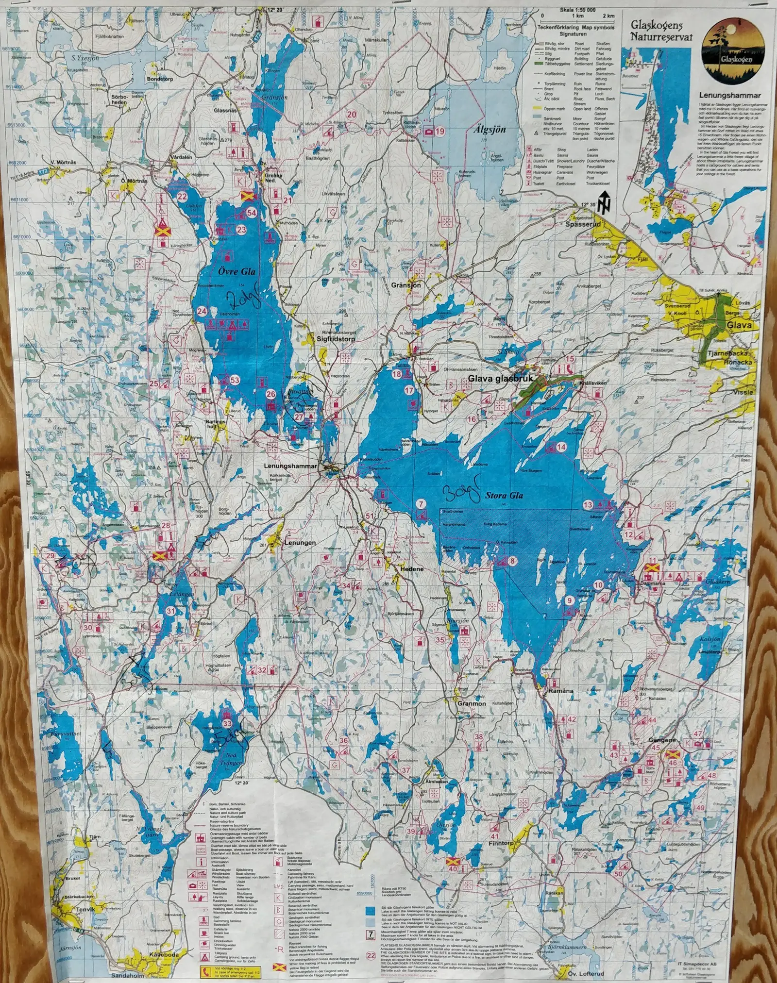
Click or tap the map to enlarge it.
Map Of Glaskogen Nature Reserve – A Guide to Glaskogen
Key Takeaways
- The Glaskogen Nature Reserve is a stunning outdoor destination in Sweden.
- The map of Glaskogen provides valuable information about the reserve’s trails, lakes, and landmarks.
- Glaskogen offers numerous camping and hiking opportunities for nature enthusiasts.
- Diverse wildlife and beautiful landscapes make Glaskogen a paradise for outdoor lovers.
- Exploring Glaskogen with the help of the map ensures a memorable experience.
History
Glaskogen Nature Reserve, located in western Sweden, is a captivating area known for its scenic beauty and diverse
landscapes. Established in 1977, the reserve covers approximately 28,000 hectares and has become a popular
destination for nature enthusiasts and adventurers alike.
The creation of Glaskogen Nature Reserve was influenced by the increasing need for preserving natural environments.
The reserve’s establishment helped protect its rich biodiversity, which includes various species of plants,
animals, and birds. Today, it stands as one of the finest examples of Sweden’s commitment to conservation and
sustainable outdoor recreation.
Unique Insights
- Glaskogen Nature Reserve is characterized by its captivating mix of dense forests, sparkling lakes, and
picturesque wetlands. - Camping is a popular activity in Glaskogen, with several well-equipped camping areas scattered throughout the
reserve. - The reserve offers a diverse range of trails suitable for hiking enthusiasts of all levels.
- Visitors can enjoy fishing in the many lakes and rivers, with opportunities to catch perch, pike, and trout.
- Glaskogen’s wilderness cabins provide a unique and rustic accommodation option for overnight stays.
- The reserve is home to a variety of wildlife, including moose, deer, foxes, and numerous bird species.
- Glaskogen provides an excellent opportunity to witness breathtaking sunsets and starry nights.
Table of Relevant Facts
| Year | Event |
|---|---|
| 1977 | Glaskogen Nature Reserve was established. |
| 1985 | The visitor center was opened, providing information and resources to visitors. |
| 1999 | The Glaskogen Marathon, an annual running event, was first held. |
| 2011 | Glaskogen celebrated its 35th anniversary with various special events and activities. |
| 2020 | The Glaskogen Trail System was expanded, offering additional routes for exploration. |
Frequently Asked Questions (FAQ)
-
Is Glaskogen Nature Reserve open to the public?
Yes, Glaskogen Nature Reserve is open to the public year-round. However, certain areas may have varying
accessibility depending on the season. -
Are there camping facilities in Glaskogen?
Yes, Glaskogen offers several well-equipped camping areas with facilities such as toilets, fire pits, and
picnic spots. -
Do I need a permit to hike in Glaskogen Nature Reserve?
No, you do not need a permit to hike in the reserve. However, it’s recommended to obtain a map and follow
the designated trails. -
What wildlife can I expect to see in Glaskogen?
Glaskogen is home to a diverse range of wildlife, including moose, deer, foxes, beavers, and various bird
species. -
Can I fish in Glaskogen’s lakes and rivers?
Yes, fishing is allowed in Glaskogen’s lakes and rivers. However, make sure to obtain the necessary permits
and follow the fishing regulations. -
Are there accommodations available in Glaskogen?
Aside from camping, Glaskogen offers wilderness cabins for overnight stays. These cabins provide a rustic
experience with basic amenities. -
When is the best time to visit Glaskogen Nature Reserve?
Glaskogen can be visited throughout the year, each season offering its unique charm. Summer is ideal for
hiking and camping, while winter provides opportunities for cross-country skiing and ice fishing.