Maps of Vietnam During the Reign of Emperor Minh Mng 18201841
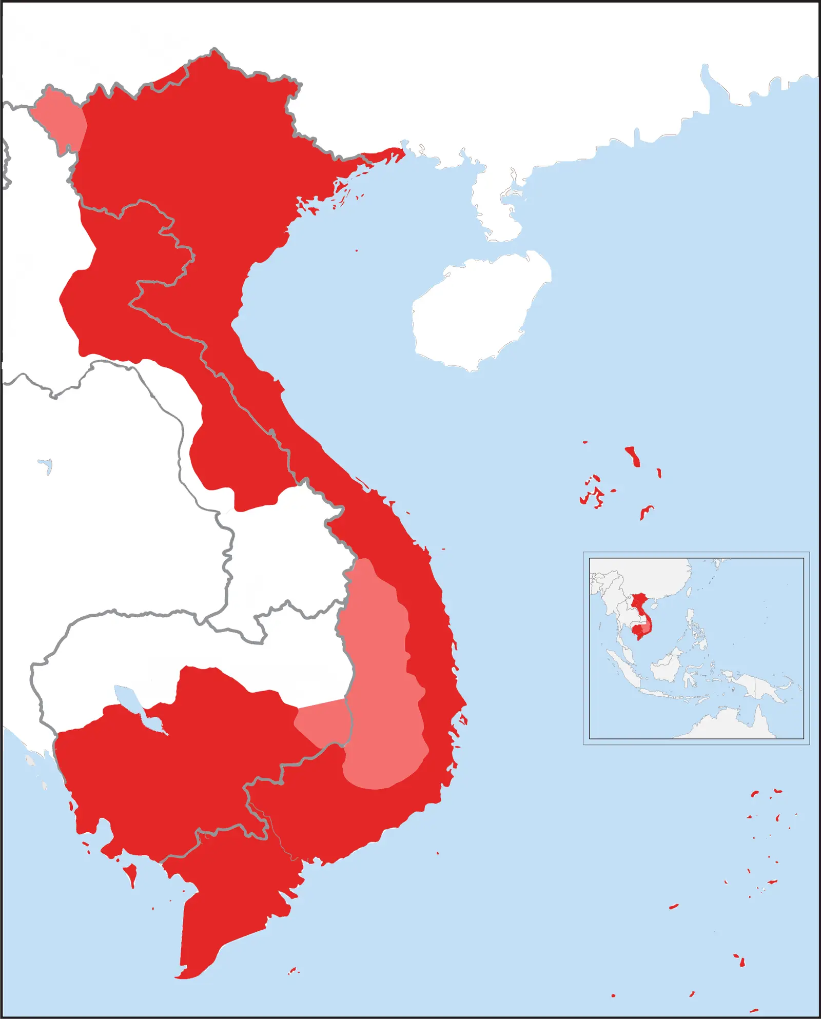
Click or tap the map to enlarge it.
Key Takeaways
- During the reign of Emperor Minh Mng from 1820 to 1841, Vietnam witnessed significant developments in cartography.
- The maps created during this period provide valuable insights into the country’s geography, political boundaries, and historical context.
- Emperor Minh Mng’s interest in cartography helped in the preservation of historical records and increased knowledge about Vietnam.
History
Emperor Minh Mng, the third emperor of the Nguyễn dynasty in Vietnam, had a keen interest in cartography. His reign from 1820 to 1841 marked a significant period for the development of maps and the understanding of Vietnam’s geographical and political landscape.
Under Emperor Minh Mng’s guidance, the royal court focused on surveying and mapping the country in detail. The maps produced during this period provided crucial information about Vietnam’s topography, rivers, provinces, strategic locations, and administrative boundaries.
These maps were created by skilled cartographers who meticulously recorded various aspects of Vietnam’s landscape, including mountains, valleys, forests, and coastlines. They also marked important cities, towns, villages, and roads, enabling a comprehensive understanding of the country’s infrastructure.
Emperor Minh Mng’s interest in cartography extended beyond just mapping the physical aspects of Vietnam. The maps also included essential political and historical information, such as the delineation of territories, administrative divisions, and references to significant historical events and landmarks.
By commissioning the creation of these maps, Emperor Minh Mng aimed to preserve historical records, consolidate his rule, and gain a deeper understanding of his empire. The maps helped in the administration of Vietnam, facilitating better governance and strategic decision-making.
Unique Insights
The maps of Vietnam during the reign of Emperor Minh Mng offer unique insights into the country’s geography and historical context. Here are some notable observations:
- The maps showcase Vietnam’s diverse topography, ranging from majestic mountain ranges in the north to lush river deltas in the south. This diversity influenced the country’s culture, agriculture, and trade.
- Emperor Minh Mng emphasized the administrative divisions and boundaries of different regions, reflecting the centralized power of the Nguyen dynasty.
- The maps highlight the strategic significance of certain cities and regions, aiding in the defense and governance of the empire.
- They also provide information about trading routes, harbors, and waterways, emphasizing the importance of maritime trade for Vietnam’s economy.
- The maps feature historical landmarks, such as temples, pagodas, and royal palaces, shedding light on Vietnam’s rich cultural heritage.
- Various ethnic groups and their settlements are documented on the maps, showcasing the diverse population of Vietnam.
- The maps demonstrate the development of transportation infrastructure, including roads and bridges, which were vital for connecting different parts of the country.
Table of Relevant Facts
| Year | Event |
|---|---|
| 1820 | Emperor Minh Mng ascends to the throne |
| 1824 | The first detailed map of Vietnam is completed |
| 1826 | Major reorganization of administrative divisions |
| 1831 | Rise of anti-government movements in northern Vietnam |
| 1841 | Emperor Minh Mng passes away |
FAQs
-
Q: Why were these maps created during Emperor Minh Mng’s reign?
The maps were created under Emperor Minh Mng’s reign to consolidate his rule, facilitate governance, and gain a deeper understanding of Vietnam’s geography and history.
-
Q: What kind of information do these maps provide?
The maps provide detailed information about Vietnam’s topography, rivers, provinces, administrative divisions, important cities, and historical landmarks.
-
Q: How did the maps aid in Vietnam’s governance?
The maps helped in better administration by giving insights into strategic locations, transportation routes, and the distribution of resources.
-
Q: Did these maps have any influence outside of Vietnam?
While the primary purpose was internal governance, the maps also contributed to other cartographic studies and increased knowledge about Vietnam internationally.
-
Q: What cultural insights can we gain from these maps?
The maps highlight significant cultural landmarks, such as temples and pagodas, showcasing Vietnam’s rich cultural heritage.
-
Q: How accurate were these maps?
Given the technological limitations of the time, the maps were relatively accurate with the available resources and surveying techniques.
-
Q: Where are these maps located today?
Many of these maps are preserved in national archives and museums in Vietnam, providing a valuable resource for researchers and historians.