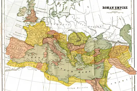
Roman Empire 125 Political Map
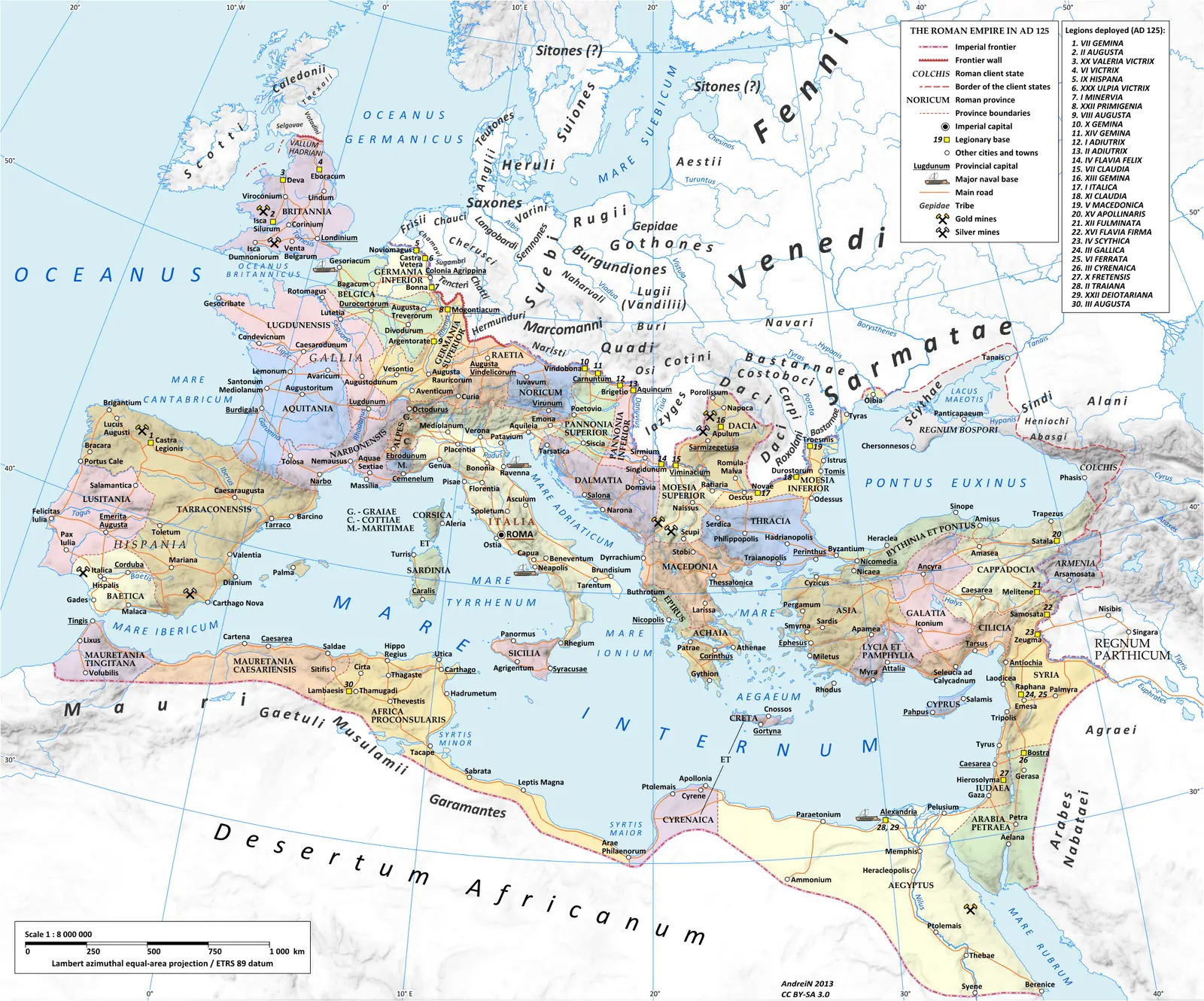
Click or tap the map to enlarge it.
Roman Empire 125 Political Map
Key Takeaways
- The Roman Empire was a vast and influential state that existed from 27 BC to 476 AD.
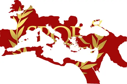
- This political map showcases the territorial extent and division of the Roman Empire in the year 125 AD.
- The Roman Empire encompassed a diverse range of cultures, languages, and regions.
- The map provides a visual representation of the power and reach of ancient Rome during its peak.
- Understanding the political organization of the Roman Empire is essential to grasp its historical significance.
History of the Roman Empire
The Roman Empire, one of the greatest civilizations in history, emerged in the 3rd century BC and eventually encompassed
vast territories across Europe, North Africa, and the Middle East. At its peak, the Roman Empire reached its territorial
zenith under Emperor Trajan in 117 AD. This map from the year 125 AD showcases the political divisions and provinces
within the empire.
The Roman Empire grew through military conquests, diplomacy, and assimilation of conquered peoples. The empire
provided governance, infrastructure, and stability to its vast territories, which allowed it to flourish for centuries.
The map provides insights into the political organization of the empire during a specific time period.
Unique Insights
This Roman Empire 125 political map reveals several unique insights about the empire:
- The Roman Empire covered a vast area, including parts of Europe, Africa, and the Middle East.
- It was divided into several provinces, each with its own governor.
- The empire’s capital was Rome, but it had other significant cities like Alexandria, Antioch, and Carthage.
- The map shows the borders, major cities, and important geopolitical features of the empire.
- It offers a glimpse into the rich cultural diversity of the Roman Empire during this period.
Table of Relevant Facts – Roman Empire 125 AD
| Fact | Details |
|---|---|
| Date | 125 AD |
| Emperor | Hadrian |
| Capital | Rome |
| Main Provinces | Hispania, Gaul, Britannia, Africa, Egypt, Syria, Judea |
| Significant Cities | Rome, Alexandria, Antioch, Carthage |
| Geopolitical Features | Rhine River, Danube River, Mediterranean Sea |
Frequently Asked Questions (FAQ)
1. What was the extent of the Roman Empire in 125 AD?
The Roman Empire, as depicted in this political map, covered a large portion of Europe, North Africa, and the Middle
East. It extended from modern-day Spain and Portugal to Egypt, and from Britain to parts of Iraq and Iran.
2. Who was the emperor of the Roman Empire in 125 AD?
In 125 AD, the Roman Empire was ruled by Emperor Hadrian, who succeeded Emperor Trajan in 117 AD.
3. What were the main provinces within the Roman Empire in 125 AD?
Some of the main provinces within the empire during this time included Hispania (Spain), Gaul (France), Britannia
(Britain), Africa (North Africa), Egypt, Syria, and Judea.
4. What was the significance of Rome as the capital of the Roman Empire?
Rome served as the political, cultural, and administrative center of the empire. It was the birthplace of Roman
civilization and played a crucial role in shaping the empire’s identity and power.
5. Which were the major cities of the Roman Empire in 125 AD?
Aside from Rome, other major cities within the empire included Alexandria in Egypt, Antioch in Syria, and Carthage
in North Africa.
6. What are some important geopolitical features shown on this map?
The map highlights significant geopolitical features such as the Rhine River and the Danube River, which served as
natural boundaries for the empire. It also showcases the vast expanse of the Mediterranean Sea, a crucial waterway for
trade and communication.
7. What does this map reveal about the cultural diversity of the Roman Empire?
This map demonstrates the broad cultural diversity within the empire. With provinces stretching across diverse regions
and encompassing various civilizations, the Roman Empire was a melting pot of cultures, languages, and traditions.