The Punjab Five Rivers a Physical Map from Companion Atlas to the Gazeteer of the World
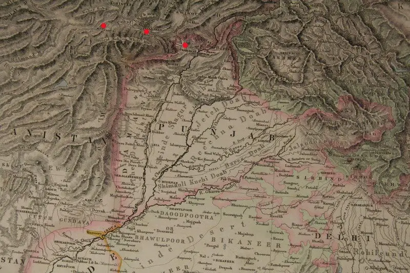
Click or tap the map to enlarge it.
The Punjab Five Rivers – A Physical Map
Key Takeaways
- The Punjab Five Rivers is a physical map that showcases the geographical features of the Punjab region.
- It is part of the Companion Atlas to the Gazeteer of the World.
- The map highlights the five major rivers that flow through the Punjab region.
- The map provides valuable information about the terrain, rivers, and other physical features of the Punjab region.
- Understanding the map is essential for researchers, geographers, travelers, and anyone interested in the geography of the Punjab region.
History
The Punjab Five Rivers is a physical map that was included in the Companion Atlas to the Gazeteer of the World. The Gazeteer of the World is a comprehensive geographical reference work that provides detailed information about various regions around the globe.
The Punjab region, located in South Asia, is known for its fertile plains and five major rivers that flow through it. These rivers are the Jhelum, Chenab, Ravi, Beas, and Sutlej, and they are prominently featured on the map.
The Punjab Five Rivers physical map offers a detailed representation of the rivers, along with other significant physical features such as mountains, lakes, and cities. It allows users to gain a better understanding of the region’s topography and the impact of the rivers on the surrounding landscape.
Unique Insights
- The Punjab Five Rivers map showcases the intricate network of rivers and water bodies that sustain the Punjab region.
- With its detailed depiction of the rivers, the map emphasizes their importance in shaping the geography, culture, and economy of the area.
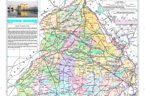
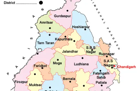
- The map provides valuable insights into the location of major cities and towns, allowing users to explore the urban centers of the Punjab region.
- Researchers and geographers can analyze the map to study the distribution of natural resources, agricultural land, and ecological diversity in the Punjab area.
- Understanding the physical features highlighted on the Punjab Five Rivers map is crucial for comprehending the region’s historical and cultural significance.
Table of Relevant Facts
| Event/Feature | Date | Description |
|---|---|---|
| Formation of Punjab region | Unknown | The Punjab region evolved over centuries due to geological processes. |
| Indus Valley Civilization | 3300 BCE – 1300 BCE | The ancient Indus Valley Civilization thrived in the Punjab region. |
| Contribution to agricultural development | Ongoing | The fertile plains of Punjab, nurtured by the five rivers, have contributed to agricultural prosperity. |
| Partition of India | 1947 | The Punjab region was divided between India and Pakistan during the partition. |
FAQ
1. What is the importance of the Five Rivers of Punjab?
The Five Rivers of Punjab are essential for the region’s agriculture, providing water for irrigation and sustaining the fertile plains.
2. What are the major cities located in the Punjab region?
The Punjab region is home to cities such as Lahore, Amritsar, Faisalabad, and Chandigarh.
3. How can the Punjab Five Rivers map be useful for travelers?
Travelers can use the map to explore the natural beauty of the Punjab region, including its rivers, lakes, and scenic landscapes.
4. Can the Punjab Five Rivers map assist in understanding the historical significance of the region?
Yes, the map provides insights into the historical importance of the rivers and their influence on the growth of civilizations in the area.
5. Is the Punjab region prone to flooding?
Yes, the region is susceptible to flooding due to heavy rainfall and the swelling of the rivers during the monsoon season.
6. Are there any endangered species in the Punjab region?
Yes, the Punjab region is home to several endangered species, including the Indus River dolphin and the Punjab Urial.
7. Can the Punjab Five Rivers map be used for educational purposes?
Definitely, the map is a valuable resource for educational institutions teaching geography, history, or environmental studies.