United Kingdom Relief Location Map
Click or tap the map to enlarge it.
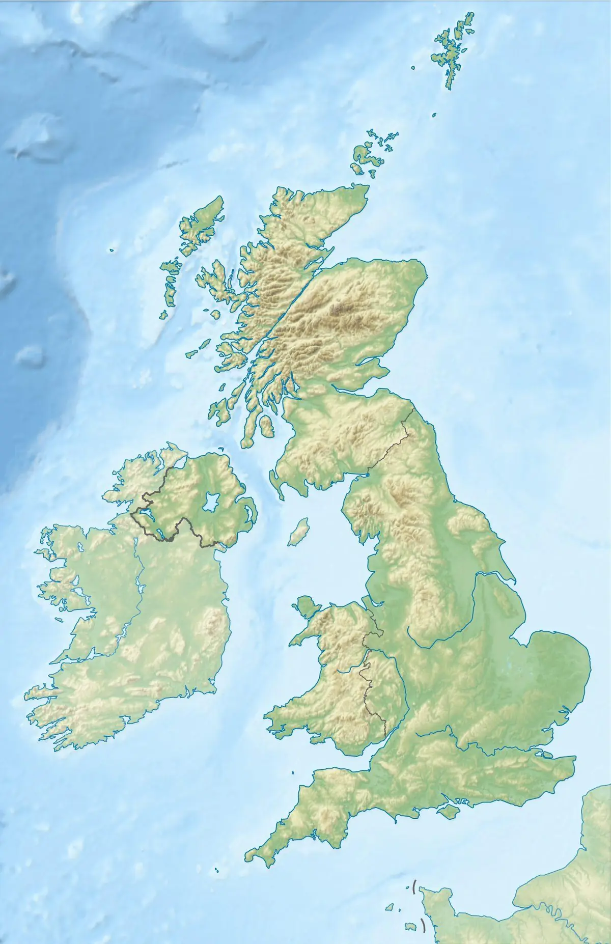
This relief location map shows the United Kingdom and the island of Ireland with shaded terrain, so mountains and lowlands stand out. Maps like this are widely used as a base layer, with markers added to show the position of a town, region or event.
In a relief map, higher ground is drawn with darker or more contrasting shading, which makes it easy to see the Scottish Highlands, the Pennines, the Welsh mountains and the flat plains of eastern England.
Where the high ground is
The highest ground lies in the north and west. The Scottish Highlands include Ben Nevis at 1,345 metres, the highest mountain in the British Isles. In England the Lake District holds Scafell Pike at 978 metres, and the Pennines form a long upland spine from the Peak District to the Scottish border. Wales has Snowdon, or Yr Wyddfa, at 1,085 metres, and Northern Ireland's highest point is Slieve Donard at 850 metres.
East and south-east England are much lower, with the flat Fens and the chalk of the Downs. Reading relief helps explain why rainfall, farming and settlement patterns differ so much across the country.
Using a relief map as a base
Because the terrain is already shaded, a location map can add a single dot or highlighted area without cluttering the page. If you are using any such map in your own work, check the licence attached to the original file and credit the author as required.
Key facts
| Nation | Highest point | Height |
|---|---|---|
| Scotland | Ben Nevis | 1,345 m |
| Wales | Snowdon (Yr Wyddfa) | 1,085 m |
| England | Scafell Pike | 978 m |
| Northern Ireland | Slieve Donard | 850 m |
Questions about this map
What is a location map?
A simple base map used to show where a place sits within a larger area, usually with a marker or highlighted outline.
What does shaded relief show?
It uses shading to suggest hills and valleys, as if light were falling on a three-dimensional surface.
Which is the highest mountain in the UK?
Ben Nevis in Scotland, at 1,345 metres.