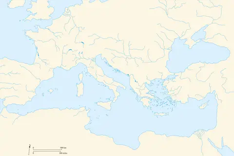
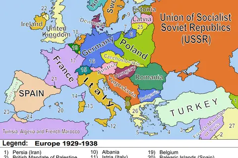
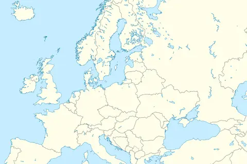
Blank Map of Europe 19291938
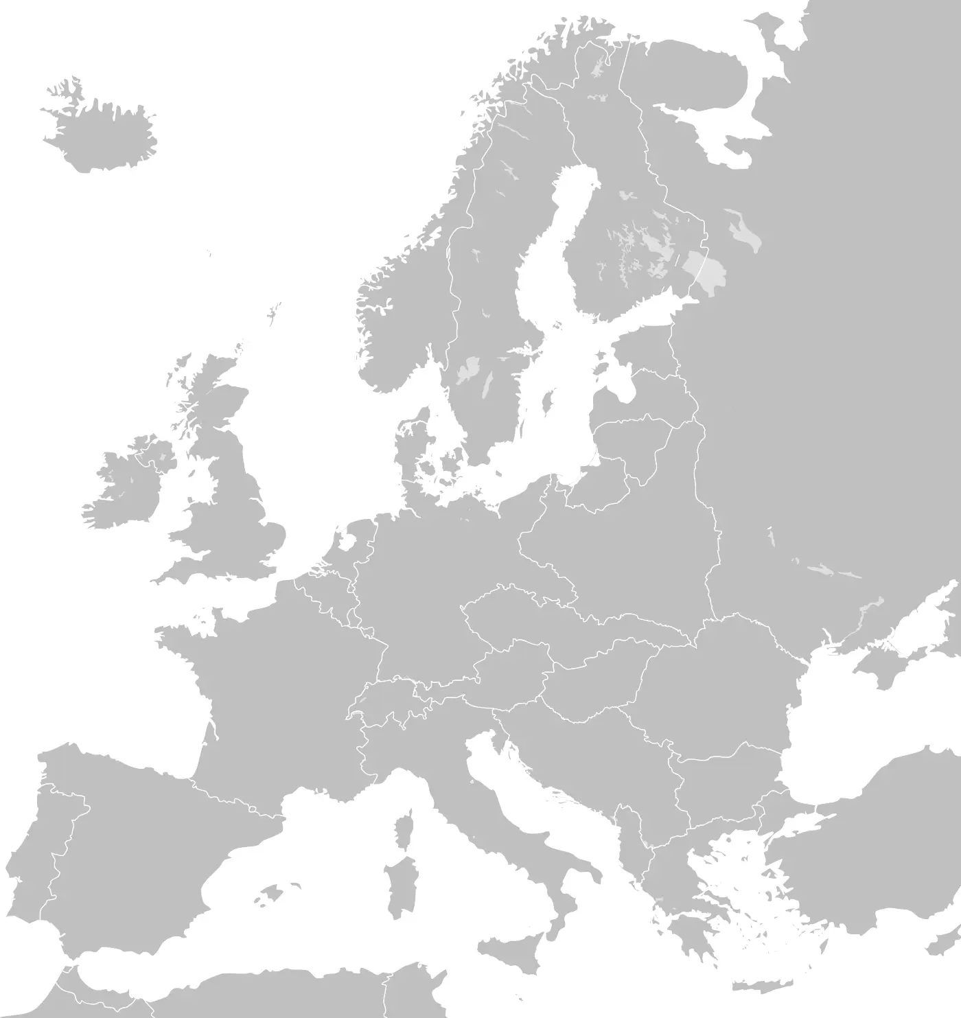
Click or tap the map to enlarge it.
Blank Map Of Europe 1929-1938: A Historical Perspective
Key Takeaways
- The map displays the political borders of Europe from 1929 to 1938.
- This period marked significant changes in European politics due to events such as the Great Depression and the rise of totalitarian regimes.
- Understanding the historical context is crucial for comprehending the intricate dynamics of this era.
History
The time period between 1929 and 1938 was a transformative one for Europe, both politically and socially. This map captures the geopolitical landscape during this period, allowing us to visualize the changes that occurred.
After the devastating effects of World War I, Europe was already grappling with the consequences of the Treaty of Versailles. However, the late 1920s and early 1930s brought new challenges, primarily characterized by economic turmoil.
The Great Depression, triggered by the Wall Street Crash of 1929, had a profound impact on the geopolitical situation in Europe. Countries such as Germany, Austria, and Hungary experienced high unemployment rates and economic instability, which led to political unrest and created fertile ground for the rise of extremist movements.
It was during this period that Adolf Hitler and the Nazi Party gained significant support in Germany. In Italy, Benito Mussolini had established a fascist regime, while in the Soviet Union, Joseph Stalin was consolidating power. These totalitarian regimes would ultimately have far-reaching consequences on the course of European history.
Unique Insights
Examining the Blank Map Of Europe from 1929 to 1938 provides us with unique insights into the following:
- The changing territorial claims and border disputes among European nations.
- The expansionist policies pursued by totalitarian regimes.
- The shifting alliances and diplomatic tensions during this critical period.
Table of Relevant Facts
| Year | Event |
|---|---|
| 1929 | Wall Street Crash triggers the Great Depression |
| 1933 | Adolf Hitler becomes Chancellor of Germany |
| 1935 | Nuremberg Laws enacted in Germany |
| 1936 | German troops occupy the Rhineland |
| 1938 | Anschluss: Germany annexes Austria |
Frequently Asked Questions
1. What is the significance of the Blank Map Of Europe 1929-1938?
The map showcases the political landscape of Europe during a turbulent period marked by the Great Depression and the rise of totalitarian regimes. It helps us understand the territorial changes and geopolitical dynamics of that time.
2. How did the Great Depression impact Europe?
The Great Depression led to economic instability and high unemployment rates in many European countries. This, in turn, created political unrest and facilitated the rise of extremist movements.
3. Which totalitarian regimes emerged during this period?
The period from 1929 to 1938 saw the rise of Adolf Hitler’s Nazi regime in Germany, Benito Mussolini’s fascist regime in Italy, and Joseph Stalin’s consolidation of power in the Soviet Union.
4. How did territorial disputes contribute to the tensions in this era?
Territorial disputes were a significant factor contributing to the already tense political climate. Border conflicts and land claims often exacerbated diplomatic tensions and served as a catalyst for aggression.
5. What were the major events that reshaped Europe during this period?
Key events include the Wall Street Crash of 1929, the ascension of Adolf Hitler to power, the enactment of the Nuremberg Laws in Germany, the German occupation of the Rhineland, and the annexation of Austria.
6. How does this map help us understand diplomatic relations between countries?
By visualizing the political borders and alliances during this period, the map provides insights into the intricate diplomatic relations and rivalries that existed among European nations.
7. Can this map be used for educational purposes?
Absolutely! This map serves as an excellent educational tool for students and researchers interested in exploring the geopolitical history of Europe during the critical years of 1929-1938.
External Links
LSI Keywords
- Blank Map Of Europe
- 1929-1938
- Geopolitical landscape
- Great Depression
- Totalitarian regimes
- Intricate dynamics
- Political borders
- World War I aftermath
- Treaty of Versailles
- Economic turmoil
- Rise of extremist movements
- Adolf Hitler
- Nazi Party
- Benito Mussolini
- Fascist regime
- Joseph Stalin
- Territorial claims
- Diplomatic tensions
- Rhineland occupation
- Anschluss