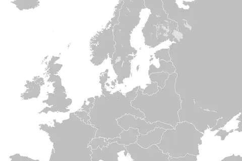
Iceland in Europe Rivers Mini Map
Key Takeaways
- Iceland In Europe Rivers Mini Map provides a detailed overview of the rivers within Iceland.
- The map highlights the major river systems, including their names and locations.
- Iceland’s unique geography and glacial influences contribute to its diverse river network.
- The map serves as a valuable resource for those interested in exploring Iceland’s rivers and natural landscapes.
History
Iceland, located in the North Atlantic Ocean, is known for its stunning landscapes and pristine rivers. The country’s river systems have played a significant role in its history, shaping the land and providing essential resources. From the earliest settlements to the present day, rivers have been crucial for transportation, fishing, and agriculture.
Settlement in Iceland began around the 9th century, and the country’s rivers played a vital role in supporting early communities. Rivers such as the Hvítá and Jökulsá á Fjöllum offered fertile agricultural land, ensuring the survival and growth of the population. These rivers were not only a source of freshwater but also provided fish for sustenance.
During the medieval period, rivers continued to shape Iceland’s economy. Fishing became an important industry, and many settlements prospered near river mouths, where fish were abundant. The rivers facilitated trade and helped towns thrive.
In the modern era, Iceland’s rivers have gained recognition for their unique natural beauty and recreational opportunities. Tourists and outdoor enthusiasts from around the world visit Iceland to marvel at its majestic waterfalls, go fishing in crystal-clear rivers, or enjoy exciting river rafting experiences.
Unique Insights
- Iceland is home to several glacial rivers that originate from the country’s massive ice caps. These rivers, such as the Jökulsá á Fjöllum and Skeiðará, carry an immense amount of glacial meltwater.
- The glacial rivers in Iceland are known for their turquoise color, resulting from the presence of fine rock particles, known as glacial flour, suspended in the water.
- The Gullfoss waterfall, located on the Hvítá river, is one of Iceland’s most famous attractions. It cascades down in two stages, creating a breathtaking sight.
- The Þjórsá river, which runs through the interior of Iceland, is the longest river in the country, stretching approximately 230 kilometers (143 miles).
- Iceland’s rivers are also known for their rich salmon and trout populations, attracting anglers from all over the world.
Table of Relevant Facts
| River | Length | Notable Features |
|---|---|---|
| Hvítá | 40 km | Gullfoss waterfall |
| Jökulsá á Fjöllum | 206 km | Dettifoss waterfall |
| Skeiðará | 140 km | Part of Vatnajökull National Park |
| Þjórsá | 230 km | Longest river in Iceland |
FAQ
1. Are the rivers in Iceland suitable for boating?
Yes, many of Iceland’s rivers are suitable for boating. However, it is important to be aware of the local regulations and weather conditions when planning a boating trip.
2. Can I go fishing in Iceland’s rivers?
Absolutely! Iceland is a popular destination for fishing enthusiasts. The rivers are known for their salmon and trout populations, providing excellent fishing opportunities.
3. Are there any guided river tours available in Iceland?
Yes, there are several tour operators in Iceland offering guided river tours. These tours provide a great way to explore the rivers and learn about their unique features.
4. How can I access the Gullfoss waterfall?
The Gullfoss waterfall is easily accessible by car from Reykjavik, Iceland’s capital. There are well-maintained paths and viewing platforms that allow visitors to admire the waterfall up close.
5. Do I need a fishing license to fish in Iceland’s rivers?
Yes, a fishing license is required for fishing in Icelandic rivers. Licenses can be obtained from local authorities or purchased through authorized fishing companies.
6. What is unique about Iceland’s glacial rivers?
Iceland’s glacial rivers are unique due to their stunning turquoise color, which is caused by glacial flour suspended in the water. They also offer thrilling rafting experiences for adventure seekers.
7. Can I swim in Iceland’s rivers?
While swimming in Iceland’s rivers is possible, it is essential to consider the water temperature and safety precautions. Some rivers may have strong currents or cold temperatures, so it’s best to seek advice from locals or join organized tours.