Europe Map Hungary
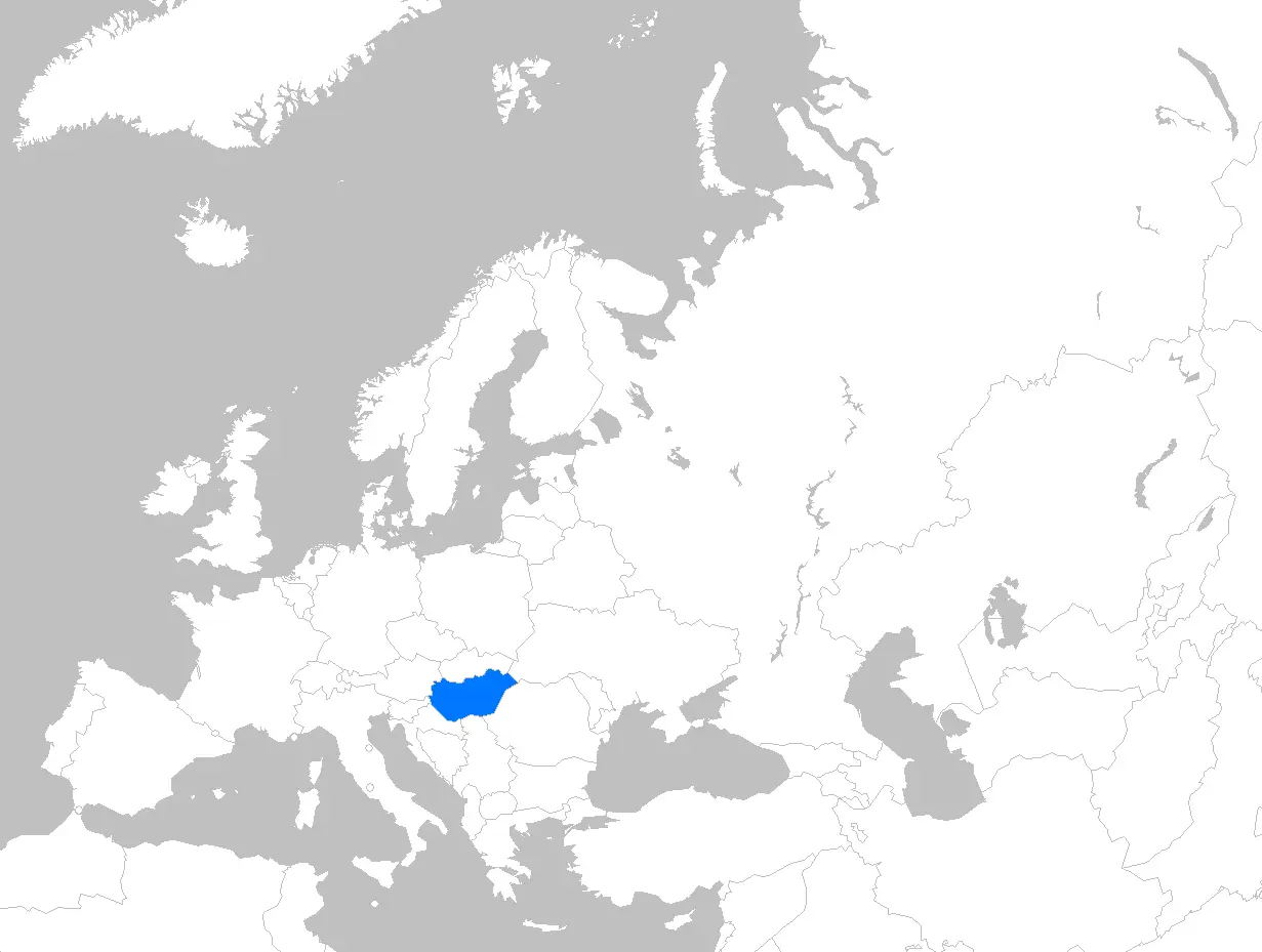
Click or tap the map to enlarge it.
Key Takeaways
- Europe Map Hungary is a visual representation of the country’s geographical features and political divisions.
- It provides valuable information about Hungary’s neighboring countries, major cities, rivers, and natural landmarks.
- The map aids in understanding the country’s topography, climate, and cultural diversity.
- Europe Map Hungary serves as a useful tool for travelers, researchers, and those interested in exploring the region.
History
Europe Map Hungary has evolved over centuries, reflecting the changes in the country’s borders and political landscape. Hungary, located in Central Europe, has a rich history dating back to the Roman Empire. Throughout the years, various empires, including the Ottoman Empire and Habsburg Monarchy, have exerted their influence over Hungary.
The map showcases Hungary’s transition from a kingdom to a republic and later to a member of the European Union. It highlights important historical events such as the Hungarian Revolution of 1848 and the fall of communism in 1989, marking significant turning points in the country’s history.
Unique Insights
- Hungary is known for its diverse landscape, which can be observed through Europe Map Hungary. The country is home to the Great Hungarian Plain, a vast agricultural region.
- The Danube River, Europe’s second longest river, flows through Hungary and divides the capital city of Budapest.
- Hungary features several UNESCO World Heritage Sites, including the historic village of Hollókő and the wine region of Tokaj. These cultural and natural landmarks are highlighted on Europe Map Hungary.
- The map reveals Hungary’s bordering countries, including Austria, Slovakia, Ukraine, Romania, Serbia, Croatia, and Slovenia. This geographic location has influenced Hungary’s history and cultural exchanges.
Table of Relevant Facts
| Year | Event |
|---|---|
| 896 | Hungarian Conquest |
| 1848 | Hungarian Revolution |
| 1867 | Austro-Hungarian Compromise |
| 1918 | End of Austro-Hungarian Empire |
| 1945 | Occupation by Soviet Union |
| 1989 | Fall of communism |
Frequently Asked Questions (FAQ)
1. What are the major cities in Hungary?
The major cities in Hungary include Budapest (the capital), Debrecen, Szeged, Miskolc, and Pécs.
2. How is the climate in Hungary?
Hungary has a temperate continental climate, characterized by hot summers and cold winters.
3. Can you swim in Lake Balaton?
Yes, Lake Balaton, located in Hungary, offers great opportunities for swimming, sailing, and other water activities.
4. Which UNESCO World Heritage Sites can be found in Hungary?
Hungary boasts several UNESCO World Heritage Sites, including the Buda Castle Quarter, the Early Christian Necropolis of Pécs, and the Hortobágy National Park.
5. How is Hungary culturally diverse?
Hungary is culturally diverse due to historical influences from neighboring countries and the presence of various ethnic groups like Hungarians, Germans, Roma, and others.
6. What is the significance of the Danube River?
The Danube River is an important waterway for Hungary, providing opportunities for transportation, trade, and tourism.
7. Are there any famous natural landmarks in Hungary?
Yes, Hungary is home to the Hortobágy National Park, Lake Balaton, the Bükk National Park, and the Tokaj Wine Region, all of which are renowned natural landmarks.