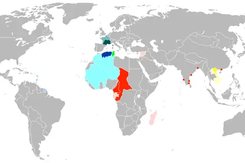
Flag Map of Vichy France
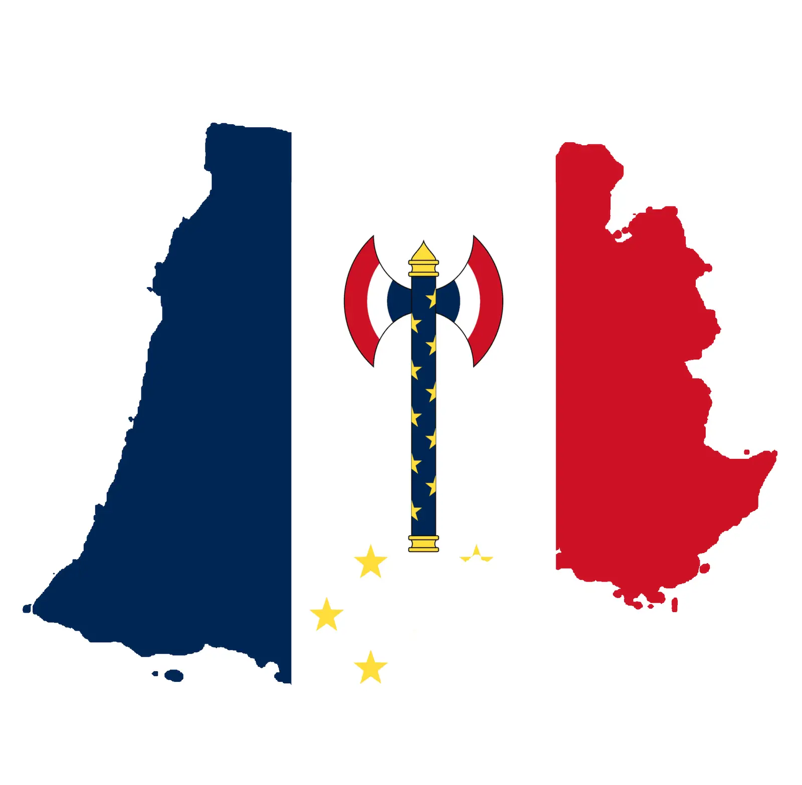
Click or tap the map to enlarge it.
Flag Map Of Vichy France
Key Takeaways
- The Flag Map Of Vichy France displays the flag design of the Vichy regime during World War II.
- The map represents the territories controlled by Vichy France from 1940 to 1944.
- It provides insights into the political division and influence during a critical period in French history.
History
The Flag Map Of Vichy France is an important historical representation of France during World War II. Following the German invasion of France in 1940, the country was divided into two parts: the northern and western regions under German occupation, and the southern region known as Vichy France, which was controlled by the collaborationist Vichy regime.
The Vichy regime, led by Marshal Philippe Pétain, aligned itself with Nazi Germany and governed a puppet state that collaborated with the Nazi occupation in various ways. The flag map illustrates the extent of Vichy France’s control, highlighting the political division within the country.
Unique Insights
- The Flag Map Of Vichy France reveals the territorial extent of Vichy France and showcases the regions it governed during World War II.
- It demonstrates the collaboration between the Vichy regime and Nazi Germany.
- The map helps us understand the complex political dynamics and divisions within France during a tumultuous period.
Table: Relevant Facts during the Vichy Regime
| Year | Event |
|---|---|
| 1940 | Establishment of the Vichy regime |
| 1942 | German occupation of Vichy France, dissolution of the French State |
| 1944 | End of the Vichy regime with the liberation of France |
FAQ
1. What was the Vichy regime?
The Vichy regime refers to the collaborative government established in Vichy, France, during World War II. It was led by Marshal Philippe Pétain and collaborated with Nazi Germany.
2. How long did the Vichy regime last?
The Vichy regime lasted from 1940 to 1944, when France was liberated from German occupation.
3. What territories did Vichy France control?
Vichy France controlled the southern region of France, while the northern and western regions were under direct German occupation.
4. How did the Vichy regime collaborate with Nazi Germany?
The Vichy regime collaborated with Nazi Germany in various ways, including enforcing anti-Semitic policies, providing economic resources, and cooperating in the persecution of political opponents and resistance fighters.
5. When did the Vichy regime end?
The Vichy regime ended in 1944 with the liberation of France.
6. What impact did the Vichy regime have on French society?
The Vichy regime deeply divided French society, as some individuals collaborated with the regime while others resisted. The regime’s policies, including its anti-Semitic measures, left a lasting impact on France.
7. Why is the Flag Map Of Vichy France significant?
The Flag Map Of Vichy France offers a visual representation of the Vichy regime’s control and illustrates the division within France during World War II.