Map Province of Vicenza
Map Province Of Vicenza – An Expert Cartographer’s Guide
Key Takeaways
- The Province of Vicenza is located in the Veneto region of Northern Italy.
- Vicenza is known for its rich history, cultural heritage, and architectural wonders.
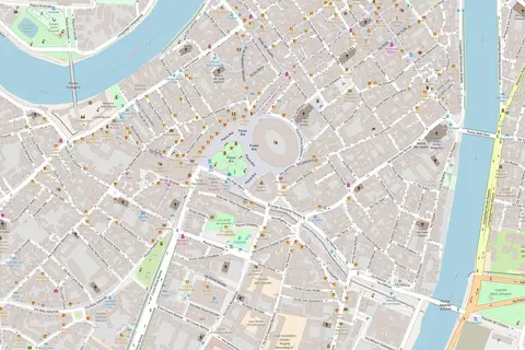
- The map of the Province of Vicenza highlights various cities, landmarks, and natural attractions.
- Exploring the map can provide valuable insights into the region’s history and geography.
History
The Province of Vicenza, also known as Provincia di Vicenza in Italian, is situated in the Veneto region of Northern Italy. It shares its borders with the provinces of Verona, Padua, and Treviso. The province has a long and illustrious history, dating back to the Roman era.
During the Renaissance period, Vicenza flourished under the rule of the Venetian Republic, with significant architectural and artistic contributions. The most prominent figure from this era is Andrea Palladio, an influential architect whose works can be found throughout the region, including the famous Palladian Villas.
Unique Insights
- The city of Vicenza itself is a UNESCO World Heritage Site.
- The province offers a diverse landscape, ranging from rolling hills to the nearby peaks of the Italian Alps.
- Wine production is a significant industry in the region, with vineyards dotting the landscape.
- Vicenza is known for its traditional craftsmanship, particularly in gold and jewelry.
Table of Relevant Facts
| Year | Event |
|---|---|
| Roman Era | Establishment of Vicetia, the predecessor of Vicenza |
| 15th century | Vicenza becomes part of the Venetian Republic |
| 16th century | Andrea Palladio’s architectural influence in Vicenza |
| 19th century | Vicenza joins the newly formed Kingdom of Italy |
Frequently Asked Questions (FAQ)
1. What are the must-visit cities in the Province of Vicenza?
Some of the must-visit cities in the Province of Vicenza include:
- Vicenza
- Marostica
- Bassano del Grappa
- Schio
2. Are there any natural attractions in the region?
Yes, the province is blessed with natural beauty. Some of the natural attractions include:
- Lake Fimon
- Asiago Plateau
- Monte Summano
3. How can I explore the architectural wonders of Vicenza?
You can explore the architectural wonders of Vicenza by visiting the following places:
- Teatro Olimpico
- Villa Capra “La Rotonda”
- Basilica Palladiana
4. What is the best time to visit the Province of Vicenza?
The best time to visit the Province of Vicenza is during the spring and autumn seasons when the weather is pleasant.
5. How can I explore the wine culture in the region?
You can explore the wine culture of the region by visiting local vineyards and wineries, participating in wine tasting tours, and learning about the winemaking process.
6. What are some traditional dishes to try in Vicenza?
Some traditional dishes to try in Vicenza include:
- Baccalà alla vicentina
- Risotto al tastasal
- Polenta e osei
7. Are there any outdoor activities available in the Province of Vicenza?
Yes, there are several outdoor activities available, such as hiking in the mountains, cycling through the countryside, and exploring the regional parks.