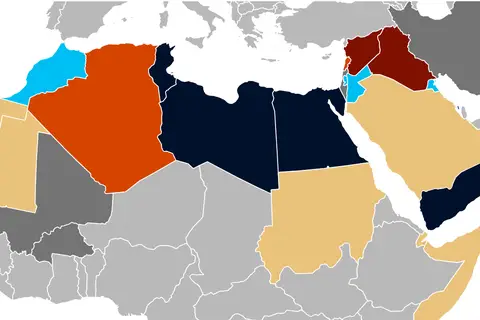
Clash of Civilizations World Map
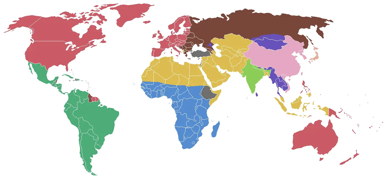
Click or tap the map to enlarge it.
Key Takeaways
- The “Clash Of Civilizations World Map” represents the various civilizations and their interactions throughout history.
- It offers a unique perspective on the cultural, religious, and political divisions that have shaped our world.
- This map serves as a valuable tool for understanding the complex interactions between different societies and regions.
History
The “Clash Of Civilizations World Map” is an innovative interpretation of global history that emphasizes the cultural and civilizational differences among societies. It was first developed by Samuel P. Huntington, a renowned political scientist, in his book “The Clash of Civilizations and the Remaking of World Order” published in 1996.
Huntington proposed that the world is primarily divided along cultural and religious lines, indicating that future conflicts would be driven by clashes between different civilizations rather than ideologies or economic disparities.
The map assigns colors to different civilizations, making it easier to visualize the distribution of cultural boundaries on a global scale. Major civilizations such as Western, Orthodox, Islamic, Hindu, Sinic, and African are depicted, highlighting their historical and geographical significance.
Unique Insights
- The Clash Of Civilizations World Map challenges traditional geopolitical maps by emphasizing cultural divisions rather than political boundaries.
- It highlights the interconnectedness and clashes between civilizations throughout history.
- The map recognizes the dynamic nature of civilizations, as well as the influence of historical events and encounters on their development.
- It provides a valuable framework for analyzing global conflicts and predicting future geopolitical challenges.
- The Clash Of Civilizations World Map fosters a deeper understanding of the diverse cultures and societies that coexist in our interconnected world.
Table of Relevant Facts
| Year | Event |
|---|---|
| 476 AD | Fall of the Western Roman Empire |
| 632 AD | Death of Prophet Muhammad |
| 1492 AD | Christopher Columbus’ Voyage to the Americas |
| 1517 AD | Martin Luther’s Ninety-Five Theses and the Protestant Reformation |
| 1947 AD | Partition of India and Pakistan |
| 1991 AD | Dissolution of the Soviet Union |
FAQ
-
What is the purpose of the Clash Of Civilizations World Map?
The purpose of the map is to illustrate the cultural, religious, and political divides between different civilizations throughout history to gain a better understanding of global dynamics.
-
Why is the Clash Of Civilizations World Map significant?
This map provides a unique perspective on world history, highlighting the long-standing cultural interactions and conflicts that continue to shape our present and future.
-
Who developed the Clash Of Civilizations World Map?
The map was developed by Samuel P. Huntington, a renowned political scientist and author of “The Clash of Civilizations and the Remaking of World Order.”
-
What are some of the major civilizations depicted on the map?
The major civilizations depicted on the map include Western, Orthodox, Islamic, Hindu, Sinic, and African civilizations.
-
How does the Combat Of Civilizations World Map differ from traditional geopolitical maps?
Unlike traditional geopolitical maps that focus on political boundaries, this map highlights cultural divisions and their historical significance.
-
What insights can be gained from the Combat Of Civilizations World Map?
The map provides insights into the complex interactions and conflicts between civilizations throughout history, facilitating a deeper understanding of global dynamics.
-
Is the Combat Of Civilizations World Map a static representation?
No, the map recognizes the dynamic nature of civilizations and their responses to historical events, ensuring it remains a relevant analytical tool.