OpenStreetMap of Chichester
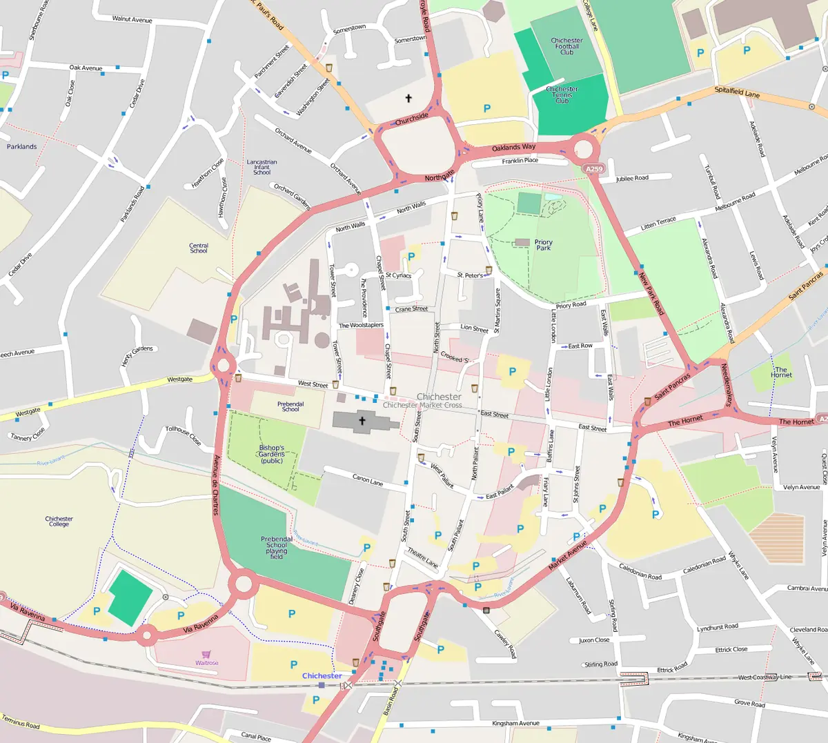
Click or tap the map to enlarge it.
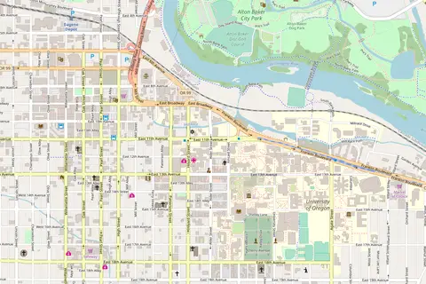
This map of Chichester town centre in West Sussex, England, is drawn from OpenStreetMap data. It shows the cross-shaped street pattern inside the old city walls, with North, South, East and West Streets meeting at the Market Cross.
OpenStreetMap is a collaborative project in which volunteers map roads, buildings and paths, and the data are available under an open licence. Any use must credit OpenStreetMap contributors.
A Roman street plan
Chichester began as the Roman town of Noviomagus Reginorum, and the four main streets still follow the lines of the Roman roads. The walls, parts of which are Roman in origin, form a circuit around the centre that can be walked. Chichester Cathedral, consecrated in 1108, stands in the south-west quarter, and the Market Cross of about 1500 stands at the intersection.
The city is the county town of West Sussex, with a population of about 26,000 in the urban area at the 2011 census.
Why OpenStreetMap?
OpenStreetMap data can be turned into maps in many styles, from traffic maps to walking maps. Because it is edited by local contributors, it can include small paths, shops and details that are not on commercial maps, but it may be incomplete or inaccurate, and should not be relied on alone for navigation.
Around the city
The compact centre is easy to explore on foot. Chichester Cathedral is close to the Pallant, a Georgian quarter that holds Pallant House Gallery, a museum of modern British art. The Chichester Festival Theatre opened in 1962, and the Novium Museum displays finds from the Roman town. Just outside the city is Fishbourne Roman Palace, the largest known Roman residence in Britain. The street grid on the map makes the Roman origins of these sites easy to see.
Key facts
| Fact | Detail |
|---|---|
| County | West Sussex |
| Roman name | Noviomagus Reginorum |
| Cathedral consecrated | 1108 |
| Street plan | Four main streets meeting at the Market Cross |
| Map data | OpenStreetMap contributors |
Questions about this map
Who owns OpenStreetMap data?
Contributors retain copyright, and the data are shared under the Open Database Licence.
Can I use the map?
Check the licence on the original file and give the required credit.
Is it good for navigation?
Treat it as a guide and check against official sources.