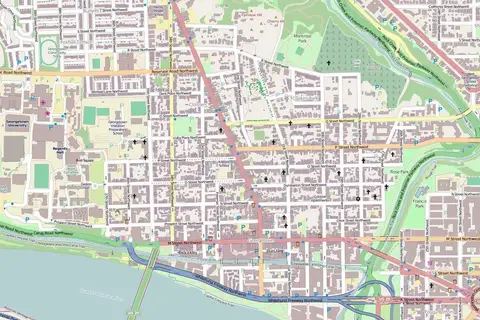
Corvallis, Oregon (OpenStreetMap)
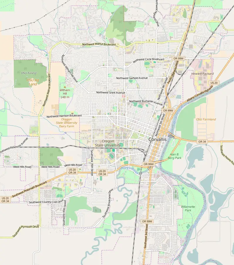
Click or tap the map to enlarge it.
This map of Corvallis, Oregon, is drawn from OpenStreetMap data. It shows the street grid, the Willamette River and the area of the Oregon State University campus.
Corvallis is the county seat of Benton County and had a population of about 59,900 at the 2020 census.
A college town on the Willamette
Oregon State University, founded in 1868, is the city's largest employer and a land-grant research university. The compact downtown grid sits along the riverfront, with parks and bike paths following the water. Corvallis is known for cycling and has a strong network of bike lanes.
The city is in the Willamette Valley, about 85 miles south of Portland, and is a hub for agriculture and research.
About the map data
The map was produced from OpenStreetMap project data collected by the community. It may be incomplete and contain errors, and it should not be relied on alone for navigation. When reusing it, credit the OpenStreetMap contributors as the licence requires.
Around Corvallis
Corvallis lies about 50 miles from the Pacific coast and is a gateway to the Coast Range. Marys Peak, the highest summit in the range at 4,097 feet, rises to the west of the city. The Willamette River provides a riverside park and a multi-use path, and Oregon State University's teams, the Beavers, give the city much of its local identity. The street grid on the map makes it easy to find the campus and downtown.
Key facts
| Fact | Detail |
|---|---|
| County | Benton County (county seat) |
| Population (2020 census) | About 59,900 |
| University | Oregon State University, founded 1868 |
| River | Willamette |
| Map data | OpenStreetMap contributors |
Questions about this map
Where is Corvallis?
In the Willamette Valley of western Oregon.
What is it known for?
Oregon State University and a cycling-friendly town centre.
Is OpenStreetMap data free to use?
Yes, with attribution under the Open Database Licence.