History
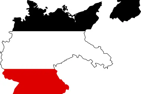
Flag Map of Germany 1933
The “Flag Map of Germany 1933” is a cartographic representation of Germany during the year 1933.
Subject
Empires, wars, borders and old maps that show how the world was divided and understood in the past.
404 maps in this collection
History
The “Flag Map of Germany 1933” is a cartographic representation of Germany during the year 1933.
History
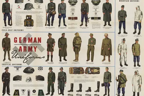
The Ww2 German Army Wehrmacht Uniforms Field Gray Mountain Tropical Mobile Troops map was published in Newsmap Vol 2 No 40 on January 24th, 1944.
History
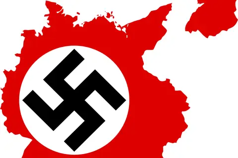
The Flag Map Of Germany 1939 is a representation of the political boundaries and territories controlled by Germany during the year 1939.
History
The German Empire 1914 Administrative Location Map illustrates the territorial divisions and major cities within the German Empire before World War I.
History
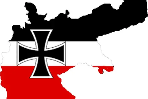
The German Empire, established in 1871, encompassed a vast territory in Central Europe.
History
The “Flagmap of the German Empire 1914” was created during the early years of World War I when Germany was a sovereign nation composed of multiple states.
History
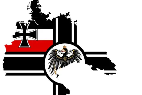
The German Empire Flag Map with Navy Flag showcases the territories under the rule of the German Empire, which existed from 1871 to 1918.
History
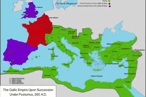
The Gallic Empire, often referred to as the Gallic Roman Empire.
History
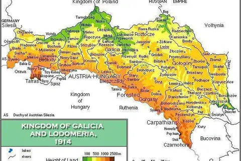
The Kingdom of Galicia was a multi-ethnic region that existed from the medieval period until the early 20th century.
History
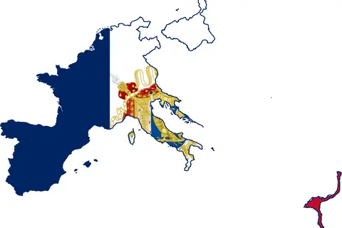
The First French Empire, led by Napoleon Bonaparte, was established in 1804 and lasted until 1814.
History
The French and Indian War, also known as the Seven Years’ War, was a conflict that took place between 1754 and 1763 in North America.
History
The Flagmap of the First French Empire, also known as “Carte de l’Empire Français en 1812,” was created in 1812 by Antoine-Jean Gros.
History
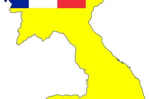
French Indochina refers to the period from 1887 to 1954 when France established its colonial control over the territories of Vietnam, Cambodia, and Laos.
History
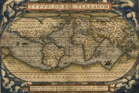
The First World Map, also known as the “Imago Mundi,” is believed to be the oldest surviving world map.
History
The Phoenicia Mapes is a masterpiece of cartography that originated centuries ago.
History
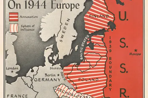
The 1944 Chapin Map of Eastern Europe and the Soviet Union’s Imperial Desires during World War II is a cartographic representation of the political.
History
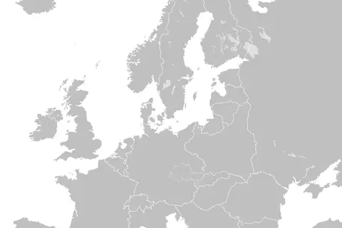
The blank map of Europe from March to September 1939 illustrates the political situation in Europe just before the outbreak of World War II.
History
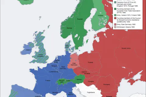
The Cold War was a period of intense political and economic rivalry between the United States and the Soviet Union.
History
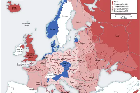
The Second World War (1939-1945) was a global conflict that involved most of the world’s nations.
History
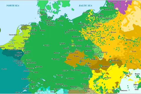
The 1937 Linguistic Map of Central Europeen was created by [Cartographer’s Name].
History
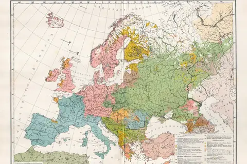
The Balkan Map of 1910, created by Adolf Marx, is a historical document that offers a detailed portrayal of the Balkan region during that time.
History
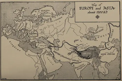
The map of Europe and Asia from around 1200 AD, as documented on page 358 of H G Wells’ “Outline of History,” provides a glimpse into the political.
History
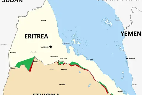
The Eritrean-Ethiopian War of 1998 was a conflict that unfolded between the two neighboring countries, Eritrea and Ethiopia.